Agua Dulce Loop
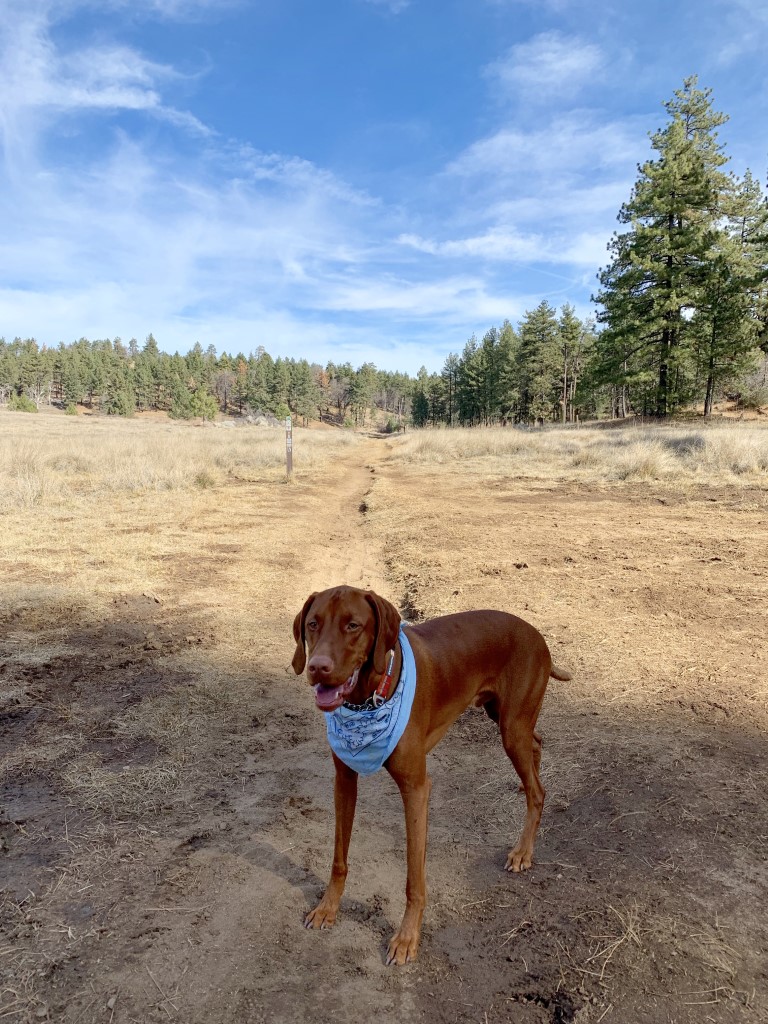
Cappie’s Scoop: I love a loop hike! You get to see something different around every turn. I remember this hike a lot because in the middle of hiking, I was jumping around with a pine cone and I managed to trip over something and hit my chin. I started bleeding but mom had my bandana with her and quickly cleaned me up. I didn’t really feel anything and was ready to keep hiking! Mom worries too much sometimes. It was only a scratch! This is a very nice trail but keep your eyes open for mountain bikers who also love this trail too. Don’t hesitate to add YOUR scoop in the comments below!
Tips: Keep your eyes open for mountain bikers on the trail.
Directions: From I-8 E take the Sunrise Highway exit and turn left onto Sunrise Highway (S1). Follow Sunrise Highway for approximately 5.5 miles to the Meadows Information Center trailhead where you can park on either side of the road, just past mile marker 19. The trail head is on the west side of the highway.
| Mileage (round trip) | 6.2 |
| Difficulty | Moderate |
| Gain (in feet) | 528 |
| Trailhead | 32.860856, -116.462210 |
| Hike Time (in hours) | 3-4 |
| Exposure | Mostly Shady |
| Scenery | Forest, Wildlife |
| Facilities | None |
| Fees/Permits | California Adventure Pass or Interagency Annual Pass/America the Beautiful Pass (National Parks Pass). |
| More Info | http://hikingsdcounty.com/agua-dulce-loop |
| Last Hiked | 12/22/2018 |