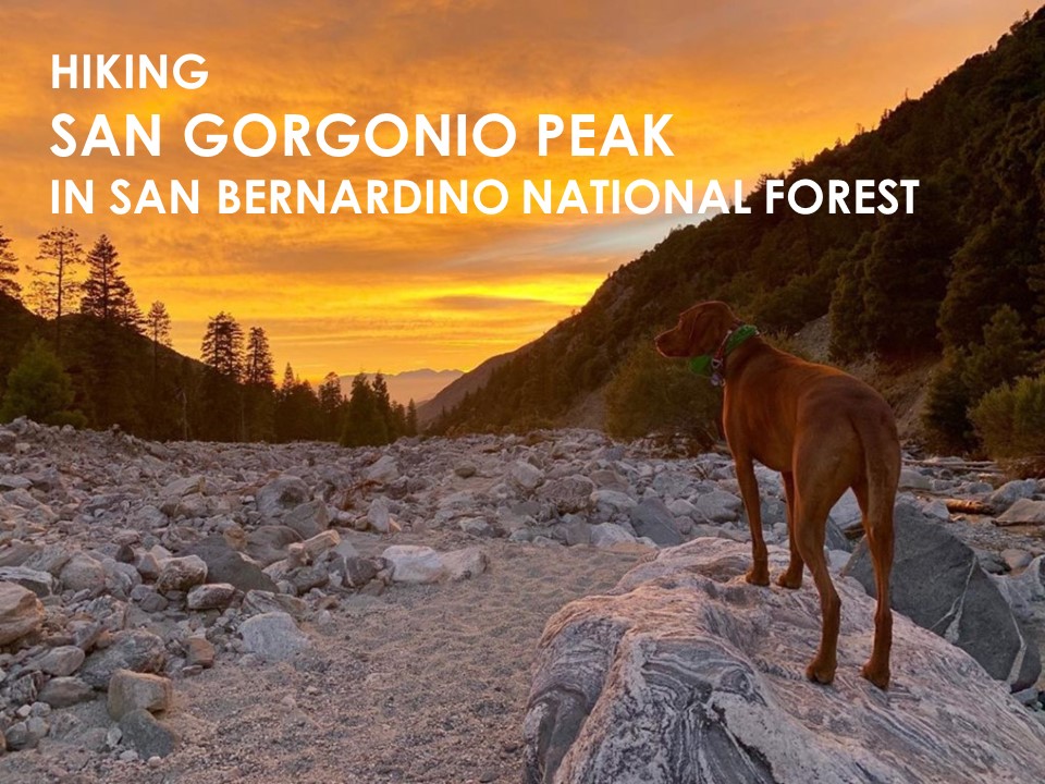
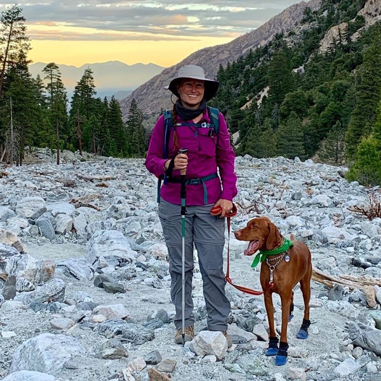
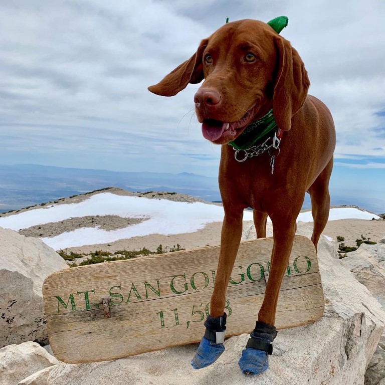
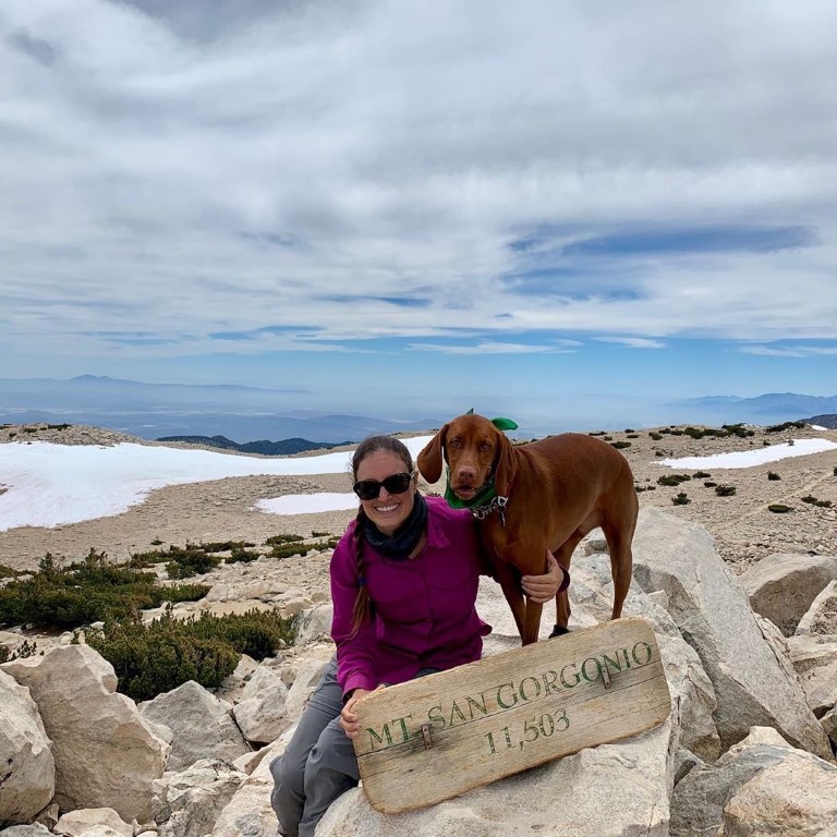
San Gorgonio Peak

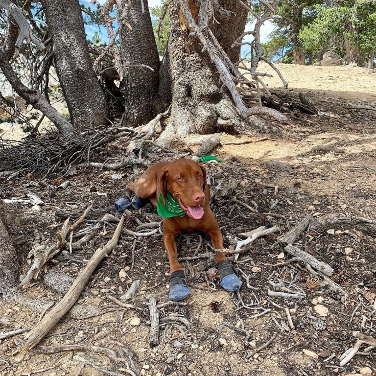
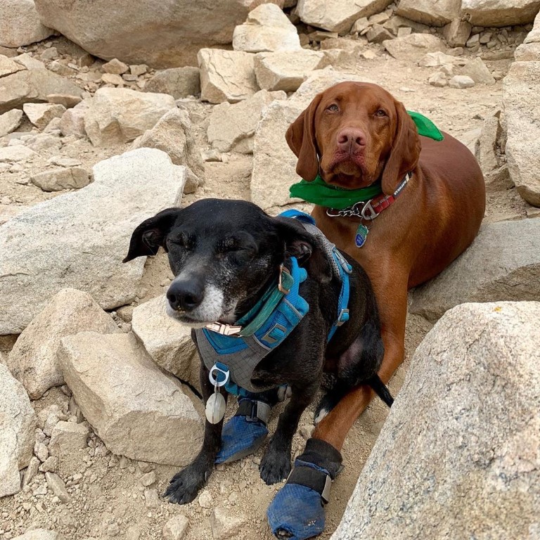
Cappie’s Scoop: This is one of the highest mountain’s I’ve climbed! I was so proud of myself that I made it to the top! It’s a long hike if you want to do it in one day. Mom and I started very early. On the way up, there are a couple spots to camp so if you wanted to do this in 2 days, you can backpack it! When we go back, we’ll backpack it and camp at High Creek Campground (9,200 ft). There is a nice cold stream running next to the camp. It’s a perfect spot to fill up on water and soak your paws. As we got closer to the top, we also found SNOW! I love running through the snow. It’s so much fun! But mom said we should keep moving to get to the top so we could take a break up there. I found my good furiend Mister Bo and we cuddled up for a rest before making our way back down. Don’t hesitate to add YOUR scoop in the comments below!
Tips: Start early, this is a very long hike and the parking lot can fill up fast. This trail reopened on 4/24/21. It was closed due to the 2020 El Dorado fire. The burn area on the trail is located above High Creek Camp and you hike through it on the trail for about 0.15 mile. Option to backpack this trail too! There are three camps: Vivian Creek (the creek is your water source but this camp is at the start of the hike), Halfway (not halfway, unsure about water source), and High Creek at ~9,200 ft (the creek is your water source and this is your best option, it’s ~5.5 miles into the hike).
Directions: Coordinates 34.081899, -116.891007 bring you to the upper parking lot. Some people also use address 41900 Falls Rd Forest Falls, CA 92339 but my GPS didn’t like that one. Note, if the upper parking lot is full (Vivian Creek trailhead), you can park in the lower parking lot (Big Falls trailhead) as well (34.082025, -116.893424). Once you’re on 38 east/Mill Creek Road, it will turn into Valley of the Falls Drive. Stay on this road for about 4-5 miles to its end past the Falls Picnic Area for the upper parking lot.
| Mileage (round trip) | 19 |
| Difficulty | Strenuous |
| Gain (in feet) | 5840 |
| Trailhead | 34.081899, -116.891007 |
| Hike Time (in hours) | 10-12 |
| Exposure | Sunny and Shady |
| Scenery | Mountain Views, Forest, Creek |
| Facilities | Vault toilets at trailhead; water typically available at High Creek camp (bring a filter, water purifier tabs, or anything else you prefer). |
| Fees/Permits | California Adventure Pass or Interagency Annual Pass/America the Beautiful Pass (National Parks Pass). Beginning 9/1/2020, a free day-use permit for entering San Gorgonio Wilderness areas within the San Bernardino National Forest is required and there are quotas, information at http://sgwa.org/wilderness-permits. |
| More Info | https://socalhiker.net/hiking-san-gorgonio-via-vivian-creek |
| Last Hiked | 6/29/2019, 5/30/2021, 5/21/2022 |

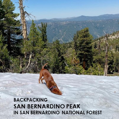
San Bernardino Peak Backpack
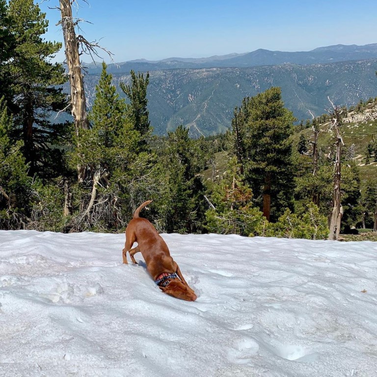
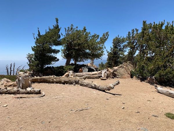
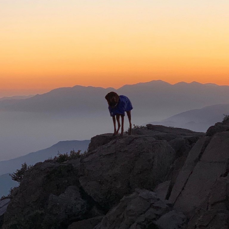
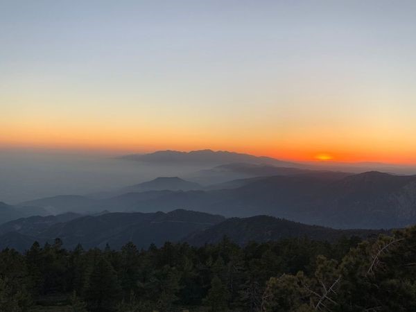
Cappie’s Scoop: Mom and I have climbed this mountain as a day hike (whew, that was a long day) and also as a backpacking trip! I love when we backpack because we get to sleep outside, well in a tent, but still, outside! On this trip, we found a great campsite at the Limber Pine Bench Camp (9,200 ft) and there were a few patches of snow nearby. So I rolled around in that a few times to cool off from the sun and then I ZOOMED through it. After we hiked all the way to the 10,649 ft peak (about 2.25 miles from camp), we stopped to filter water on the way back to camp. It was ice cold goodness. Mom carried everything while I looked for sticks. Then I watched the sunset from the top of a giant boulder which scared mom but I was very careful. Don’t hesitate to add YOUR scoop in the comments below!
Tips: Bear-proof canisters are strongly recommended. You can rent them from your local adventure store. Columbine Camp (water usually available 8,000 ft) is 4.7 miles from the trailhead just beyond Manzanita Flats. The camp is to the right (south) of the trail and 0.7 mile and 300 vertical ft below it. Water may also be available from a spring 0.3 mile beyond the Limber Pine Bench Camp. The road to the trailhead is bumpy so you may park your car alongside the dirt road and walk 1/4 mile down to the trailhead. No campfires allowed. Portable gas stoves are allowed.
Directions: Once you’re on 38 E/Mill Creek Road, it can get tricky. You’re going to make a right at Mountain Home Creek Rd and then a left on Frontage Rd/Manzanita Ave. Once you pass the Angelus Oaks fire station on your right side, you will probably see a brown sign that says “TRAILHEAD, go to 3rd house, turn right, stay to right on dirt road to parking.” You will drive about 1/4 mile along a bumpy dirt road. Passenger cars can make it, just go slow.
Planning a Backpack – April 2021 Newsletter Special Issue
Mountain Forecast (near San Bernardino Peak)
| Mileage (round trip) | 16.5 |
| Difficulty | Strenuous |
| Gain (in feet) | 4702 |
| Trailhead | 34.146122, -116.978399 |
| Time | 1 night |
| Exposure | Sunny and Shady |
| Scenery | Mountain Views, Creek, Forest |
| Facilities | None |
| Fees/Permits | California Adventure Pass or Interagency Annual Pass/America the Beautiful Pass (National Parks Pass). Overnight permit required and beginning 9/1/2020, a free day-use permit for entering San Gorgonio Wilderness areas within the San Bernardino National Forest is required and there are quotas, information at http://sgwa.org/wilderness-permits. |
| More Info | https://sixpackofpeaks.com/socal; https://socalhiker.net/a-six-pack-of-peaks |
| Last Hiked | 6/22/2019 |


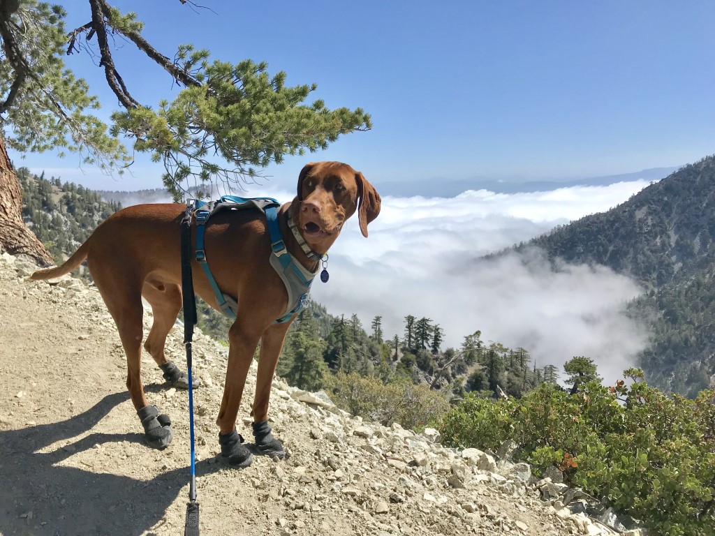
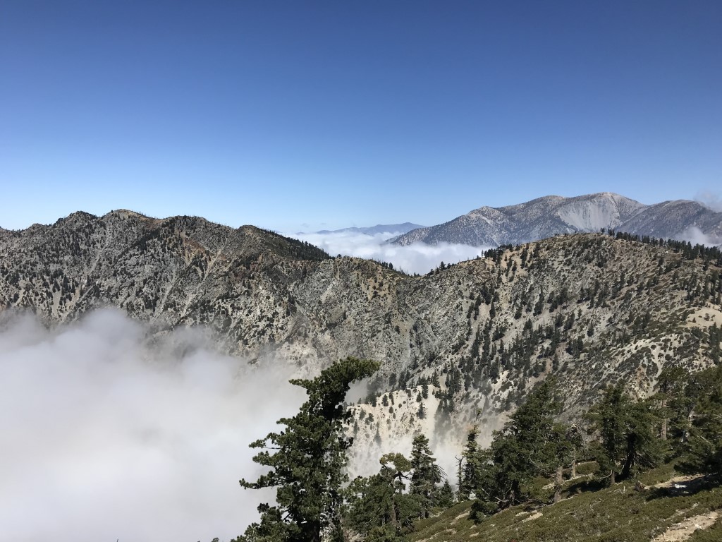
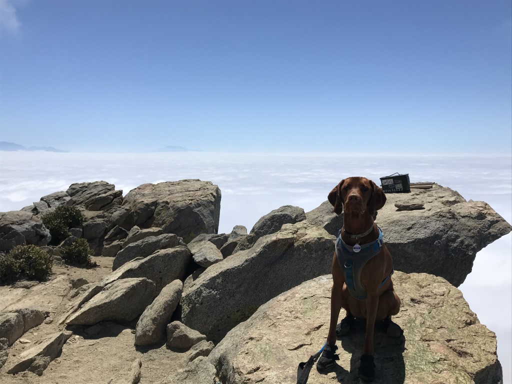
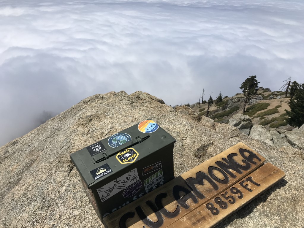
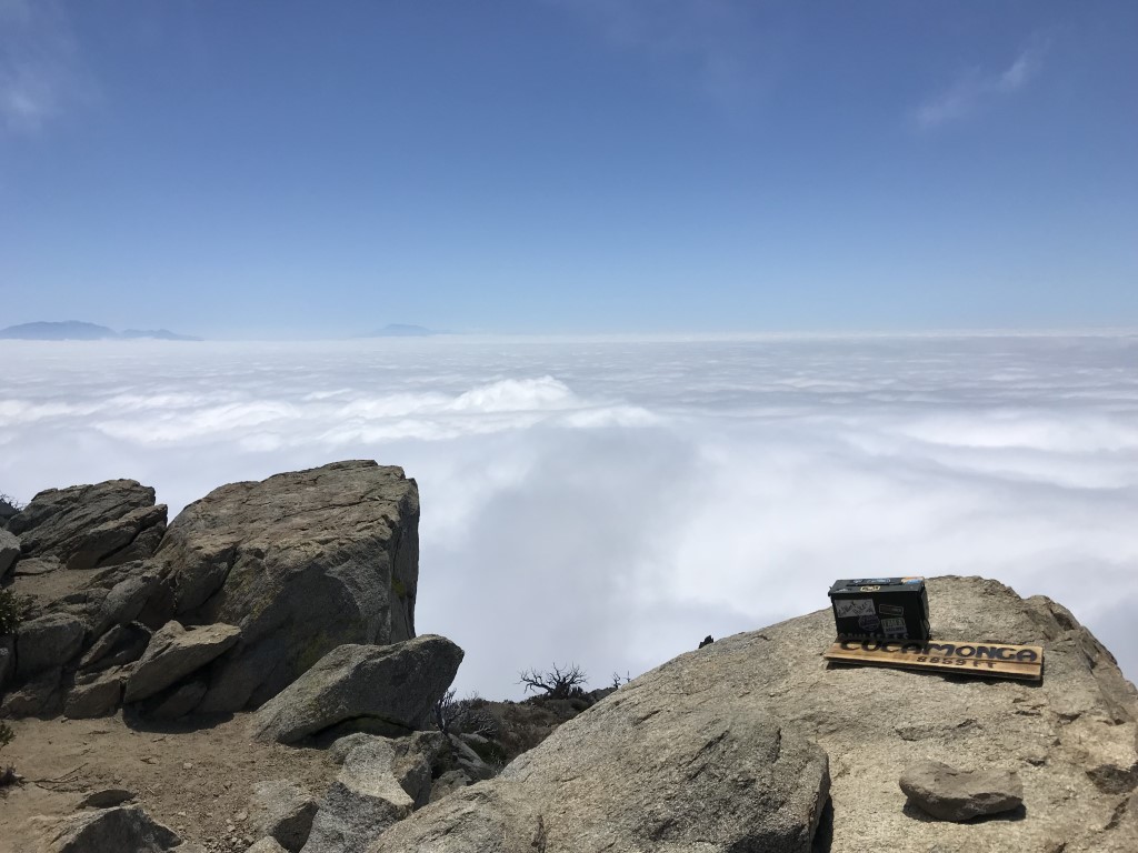
Cucamonga Peak
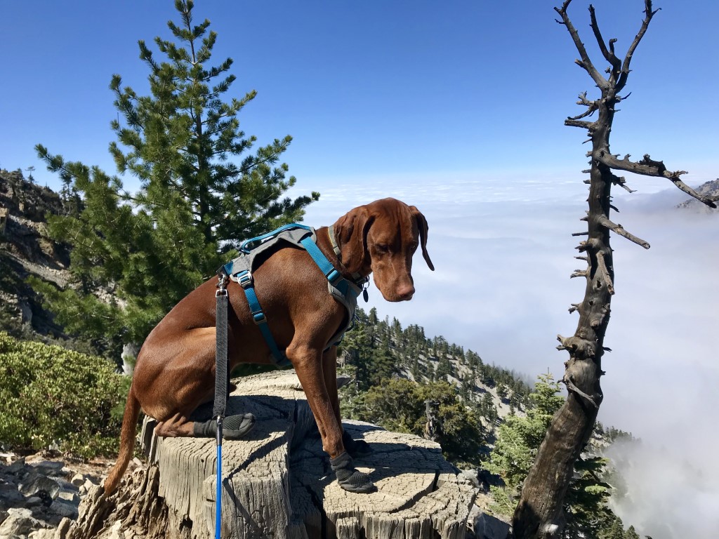
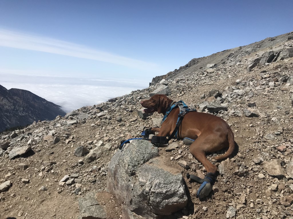
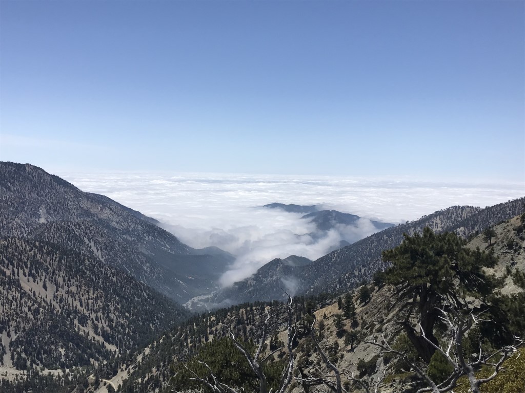
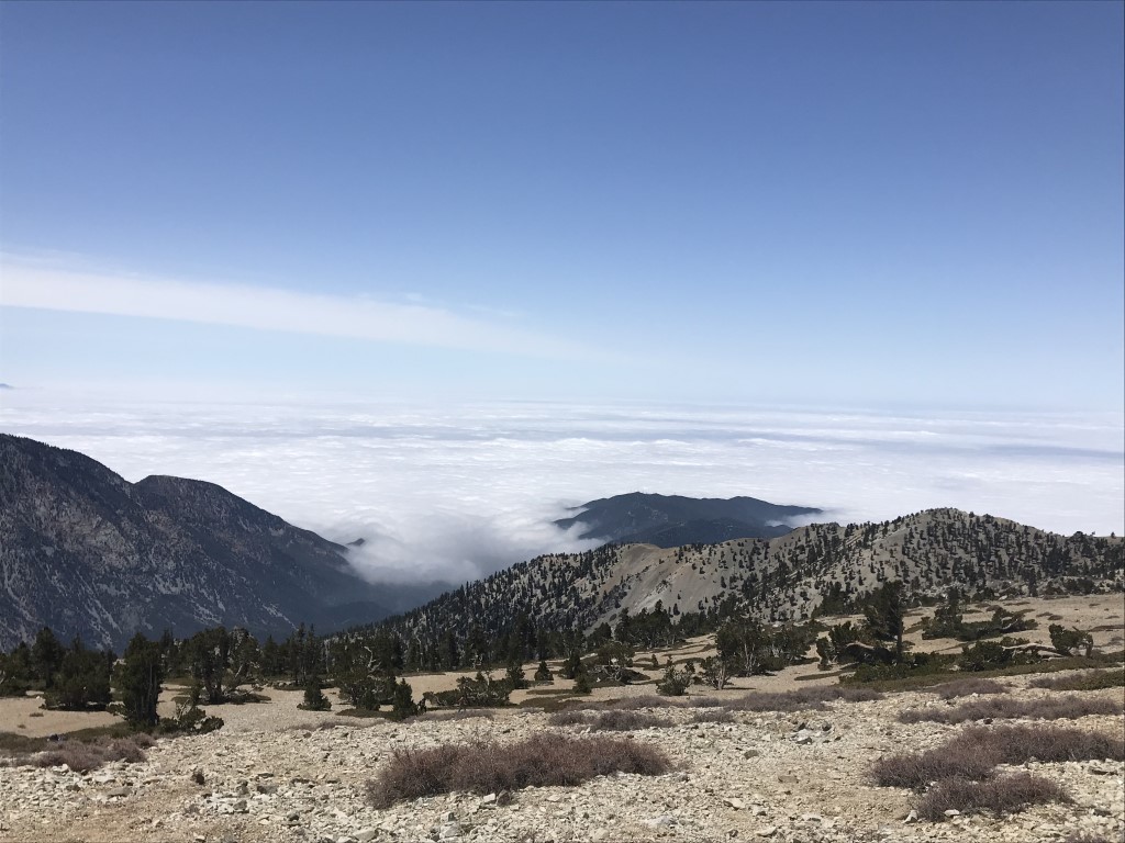
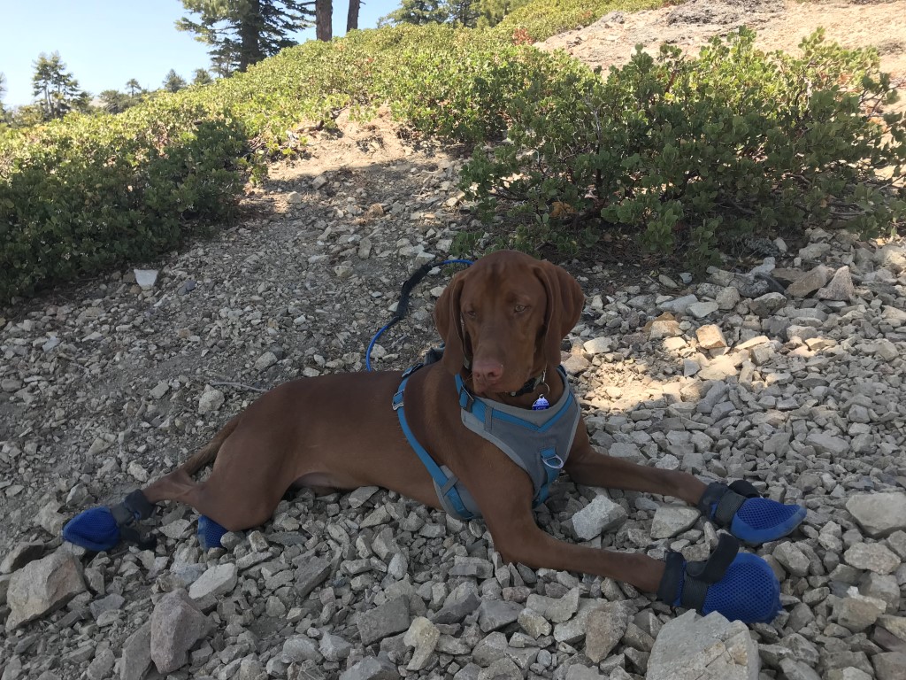
Cappie’s Scoop: It has to be said that this is THE rockiest trail I’ve ever hiked, period. But I keep coming back for the pine cones and the cold Icehouse Creek that runs through the canyon. It feels so good to soak my paws in it! The view at the peak, 8,859 ft, can either be the city below OR clouds. When I was above the clouds, it was so cool! Big fluffy white stuff which reminded me of a puppuccino I get from Starbucks. Next time we visit this area, we’re going to hike to the saddle and then take a different turn. There are lots of peaks you can reach from the saddle besides Cucamonga. You can also hike to Ontario and Bighorn Peak and then the Three T’s (Timber, Telegraph and Thunder Mountain). So many options so I guess I can ignore the rocks! Don’t hesitate to add YOUR scoop in the comments below!
Tips: This trail is a bit rocky, hiking poles are recommended.
Directions: Can also use address 7641 Ice House Canyon Road, Mount Baldy, CA 91759.
| Mileage (round trip) | 12 |
| Difficulty | Strenuous |
| Gain (in feet) | 4300 |
| Trailhead | 34.25018, -117.6360 |
| Hike Time (in hours) | 7-8 |
| Exposure | Sunny and Shady |
| Scenery | Mountain Views, Creek, Forest |
| Facilities | Toilets at trailhead. |
| Fees/Permits | California Adventure Pass or Interagency Annual Pass/America the Beautiful Pass (National Parks Pass). *Permits depend on where you start your hike. Beginning 9/1/2020, a free wilderness permit for day hikes/overnight trips is only required for portions of the San Bernardino National Forest and a portion of the Cucamonga Wilderness is in there (east of the Ice House Saddle). If you hike to Cucamonga Peak from Ice House Canyon trailhead (where we started), you need a wilderness permit from the Ranger and there are day hiker limits. Link to apply for a permit under “More Info.” If you hike to Cucamonga Peak starting from the Middle Creek Trailhead (not reflected in this post), you need a permit and there are limits. If you’re hiking from Ice House Canyon trailhead (where we started) to Ice House Saddle only, the 3 T’s, or Ontario Peak, the limits do not apply but you still need a permit and they are free self-issued at the Ice House Canyon trailhead (bring a pen). |
| More Info | https://sixpackofpeaks.com/socal; https://socalhiker.net/a-six-pack-of-peaks; https://socalhiker.net/new-day-hiking-permit-requirements-for-wilderness-areas-in-the-san-bernardino-national-forest; https://www.fs.usda.gov/detail/sbnf/passes-permits/recreation/?cid=stelprd3821640 |
| Last Hiked | 5/13/2018, 6/9/2019, 11/11/2020 |


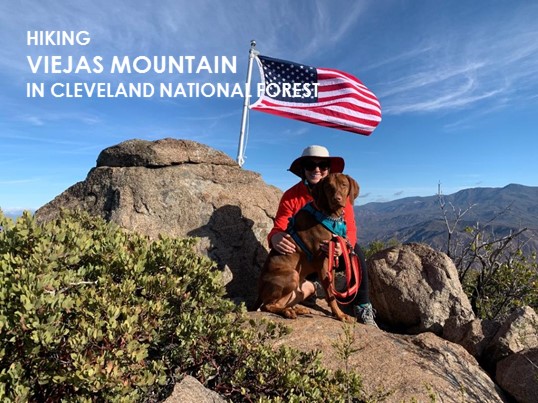
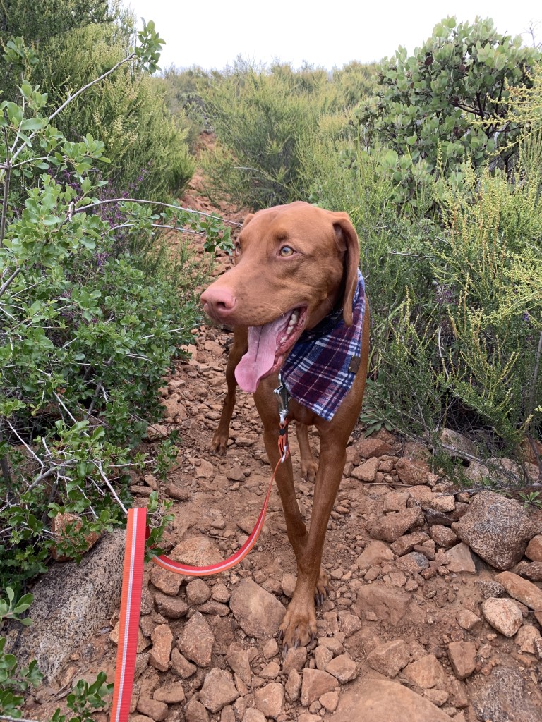
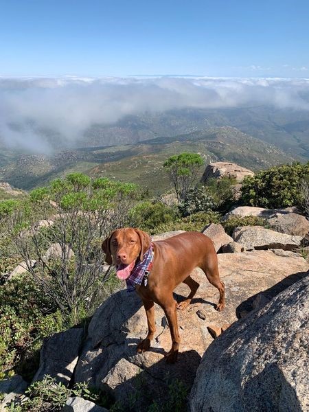
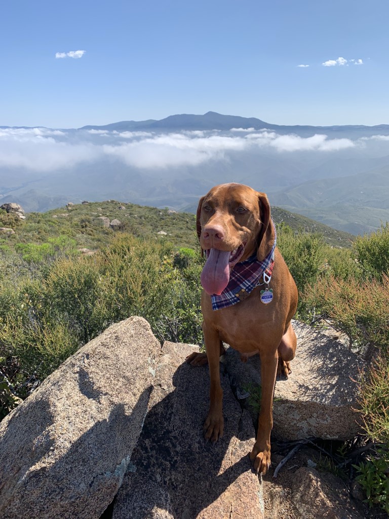
Viejas Mountain
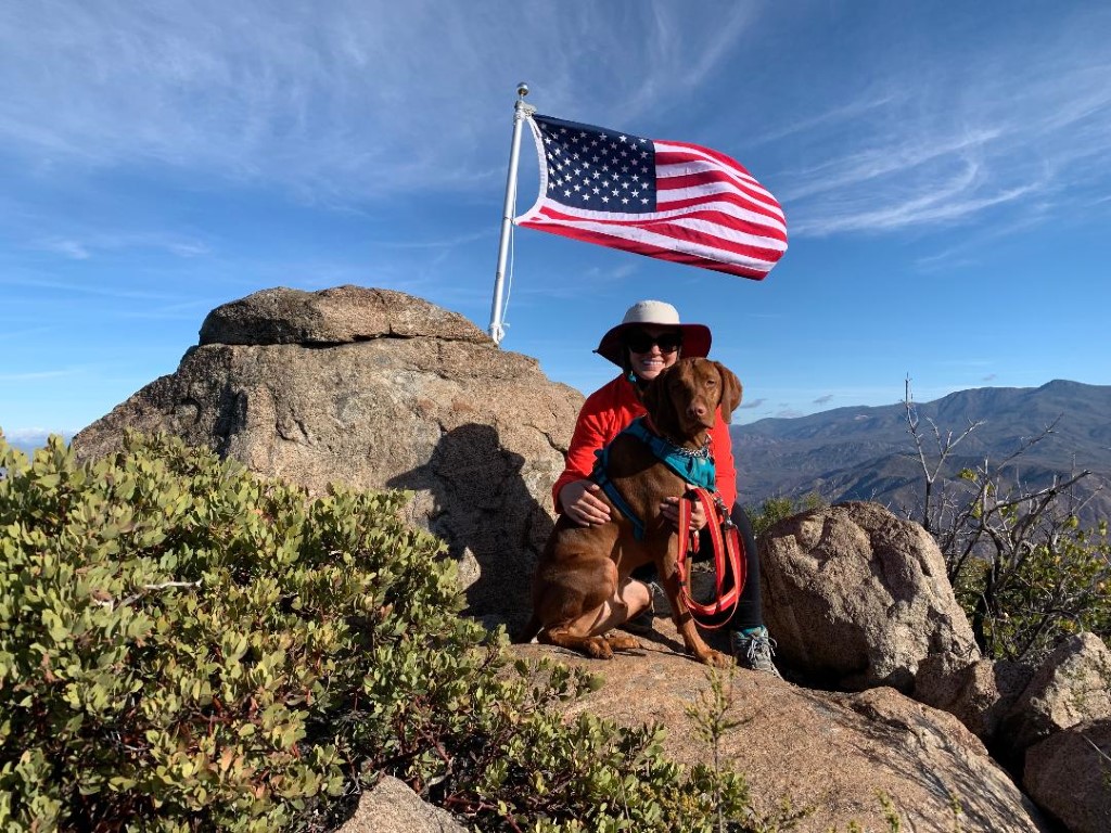
Cappie’s Scoop: When mom and I want a quick hike but a kick in the butt, we go here. In only 1.5 miles, we gain a good amount of elevation. The views at the top are great and there is a nice flat area where we can enjoy some treats before heading back down. Be careful after or during a rain because this train gets slippery AND because the mud is red, you will turn into a red dog like me! But what’s wrong with that I say, nothing! Don’t hesitate to add YOUR scoop in the comments below!
Tips: Can get slippery after it rains.
Directions: From I-8, take the Tavern Road exit in Alpine and head north on Tavern Road. Stay right to turn onto Victoria Park Terrace. Follow Victoria Park Terrace for approximately 0.9 miles, then turn left onto W Victoria Drive. Continue for 1.4 miles, then turn left onto Anderson Road. Follow Anderson Road (passed the water towers on the right) as it transitions to a dirt road and becomes the Boundary Truck Trail West (note: the road’s a little bumpy but fine for low clearance cars). Approximately 0.8 miles after turning onto Anderson Road, you will find a small turn out on the left where you can park. The trail head is on the opposite side of the road. There is a small brown “hiker” sticker on the post.
| Mileage (round trip) | 3 |
| Difficulty | Moderately Strenuous |
| Gain (in feet) | 1474 |
| Trailhead | 32.856670, -116.742239 |
| Hike Time (in hours) | 3-4 |
| Exposure | Sunny |
| Scenery | Mountain Views, Panoramic Views |
| Facilities | None |
| Fees/Permits | None |
| More Info | http://hikingsdcounty.com/viejas-mountain |
| Last Hiked | 3/10/2018, 12/2/2018, 6/2/2019, 4/10/2022 |
Mt. San Antonio aka Mt. Baldy
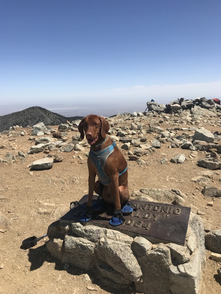
Cappie’s Scoop: The first time I climbed this beast, I threw up my treats. So furiends, make sure you don’t eat too much on the way up to the peak! The second time, I did much better and made sure to have my victory treats at the 10,064 ft peak. There are only a few spots of shade on this trail so it’s better to go when it’s cooler so you can enjoy the warm sun on your face. When I reached what mom called the devil’s backbone, it was a bit scary because I already get nervous on bridges and it looked like a bridge in some spots. But mom said I could do it, we went very slow and I made it! The views are great on this hike because I can see above the trees! Plus at the peak, there are a lot of spots to sit and eat my treats. I liked that part a lot. Don’t hesitate to add YOUR scoop in the comments below!
Tips: If you have time and energy, there is another peak you can bag on your way to Mt. Baldy called Mt. Harwood. Check the weather at the peak before you go in case there is snow in the forecast.
Directions: Trailhead coordinates bring you to the Mt. Baldy ski lift parking lot. The lot has three levels (lower, mid, and upper). Park at the upper level at the far end of the road. You can pick up the trail/fire road in that spot and at the first intersection, make a left towards the ski lift and then ultimately head towards the restaurant. This route connects with the Devil’s Backbone trail to the peak and you can return the same way you came.
| Mileage (round trip) | 10.2 |
| Difficulty | Strenuous |
| Gain (in feet) | 3900 |
| Trailhead | 34.269449, -117.624532 |
| Hike Time (in hours) | 7-8 |
| Exposure | Mostly Sunny |
| Scenery | Mountain Views, Forest, Panoramic Views |
| Facilities | None at the trailhead. Top of the Notch restaurant has restrooms and water. |
| Fees/Permits | California Adventure Pass or Interagency Annual Pass/America the Beautiful Pass (National Parks Pass). |
| More Info | https://sixpackofpeaks.com/socal; https://socalhiker.net/a-six-pack-of-peaks |
| Last Hiked | 5/20/2018, 6/1/2019, 6/7/2020 |


O’Leary Peak
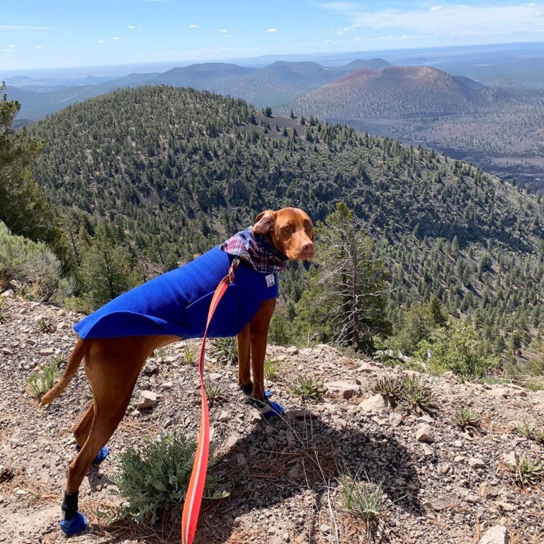
Cappie’s Scoop: Mom is so smart! She did her research and remembered to bring the booties because of the crushed volcanic rock on the trail. Gotta love mom! On this day, we had sunshine and blue skies but also wind. So.much.wind. By the time we reached the top (I won’t even mention another lookout tower I can’t go inside) we had to hide behind this small shed to dodge the wind. I had some water and my treats while the wind rattled the metal shed scaring me a bit! On the count of three, mom and I jumped out and started down quickly to escape some of that strong wind pushing us around. We almost forgot to enjoy the views of the San Francisco Peaks and nearby cinder cones! I looked, mom took a picture and we got out of there! Whew, what a windy hike! It was still a lot of fun! Don’t hesitate to add YOUR scoop in the comments below!
Tips: There are a lot of cinder cones in the area but this is actually a lava-dome volcano. There is limited parking at the trailhead so plan to arrive early to get a spot. The trail is mostly crushed volcanic rock so if your pup’s pads are sensitive, recommend you bring along some booties for them. If the lookout tower at the top is attended and open, you may be able to go inside. Unfortunately, no dogs allowed.
Directions: From Flagstaff, head North on Hwy 89. Eleven miles passed the Flagstaff KOA, turn right following the sign for Sunset Crater Volcano Wupatki National Monument. Continue straight on Fire Road 545 for 1.8 miles, then turn Left at the sign for O’Leary Group Campground onto Fire Road 545A.
| Mileage (round trip) | 10 |
| Difficulty | Moderately Strenuous |
| Gain (in feet) | 2014 |
| Trailhead | 35.371801, -111.541367 |
| Hike Time (in hours) | 5-6 |
| Exposure | Sunny and Shady |
| Scenery | Mountain Views, Forest, Wildlife, Wildflowers |
| Facilities | None |
| Fees/Permits | None |
| More Info | https://socalhiker.net/hiking-oleary-peak; https://www.arizonahighways.com/explore/hiking/oleary-peak-trail |
| Last Hiked | 5/26/2019, 2/13/2021 |
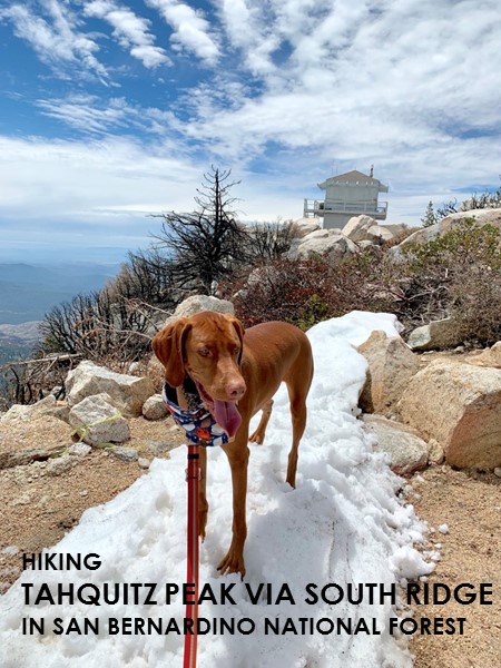
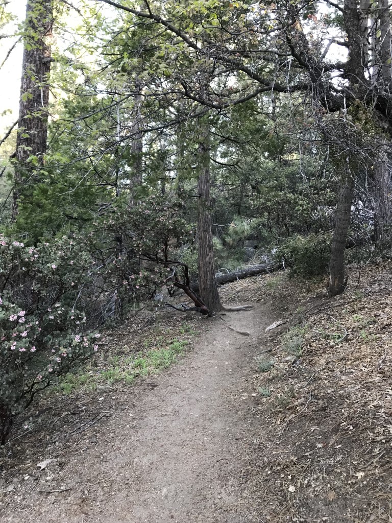
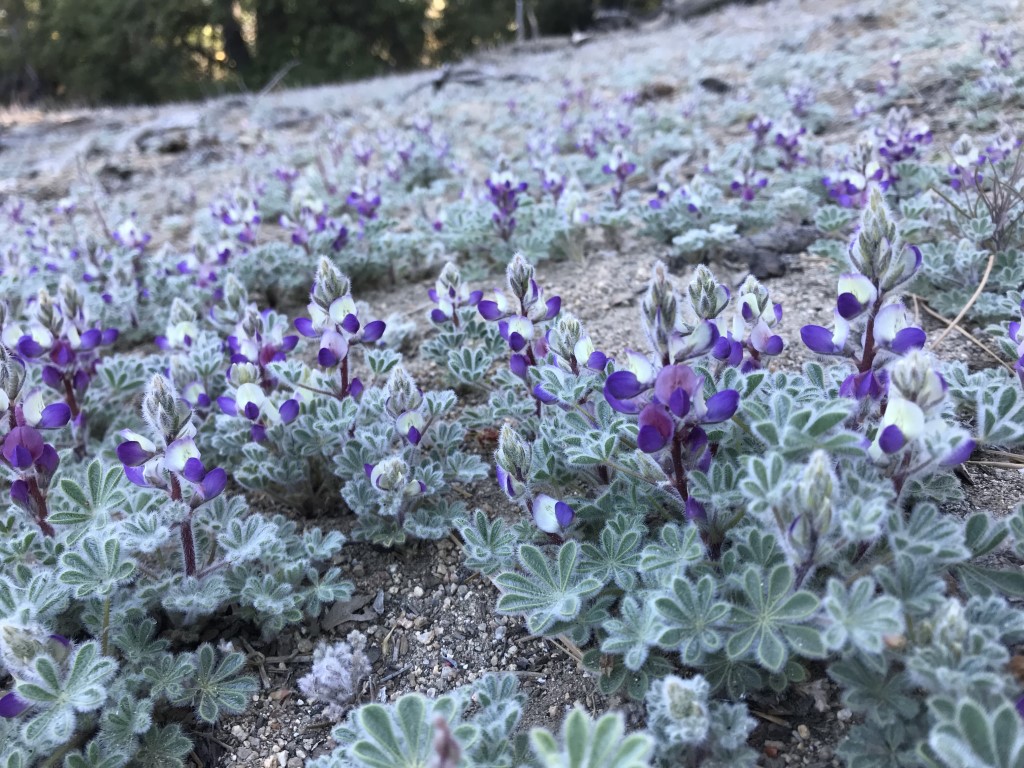
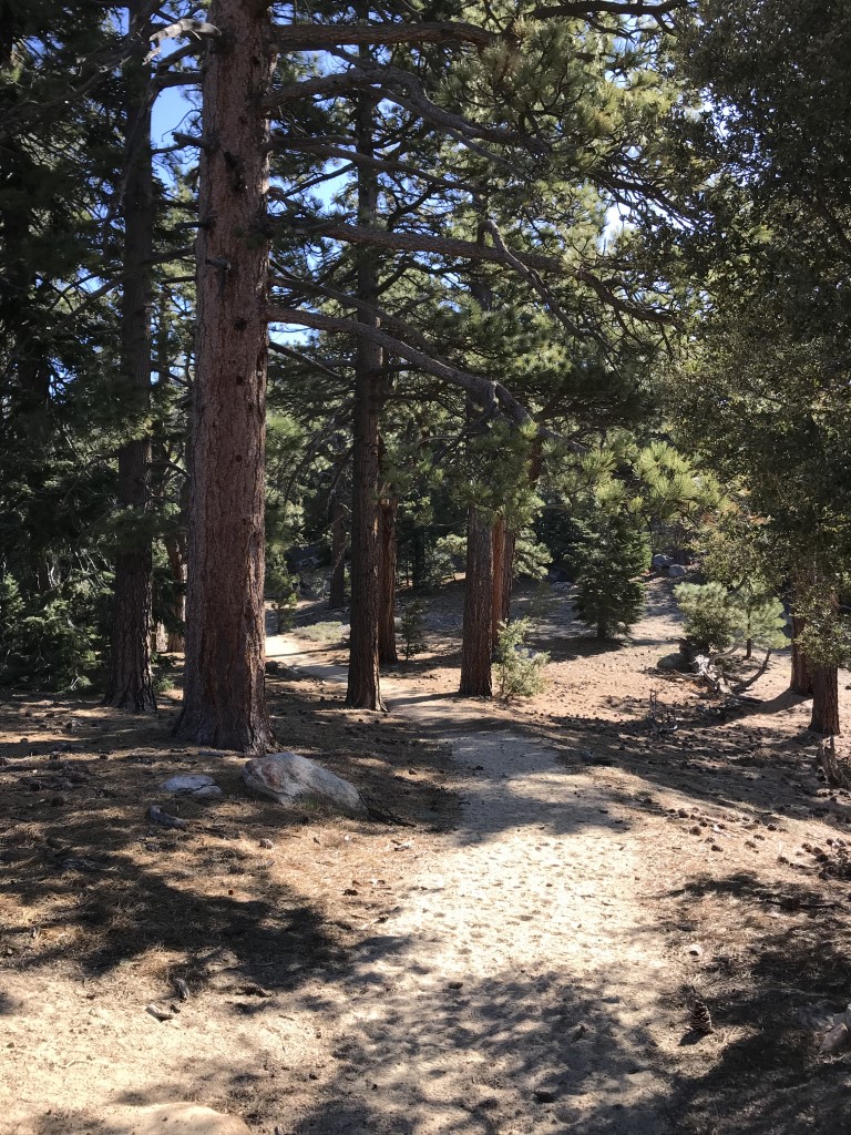
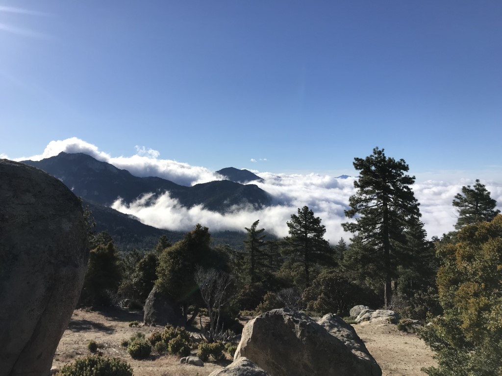
Tahquitz Peak via South Ridge Trail
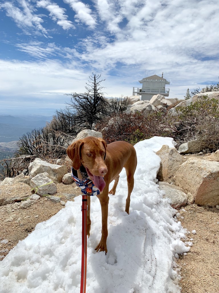
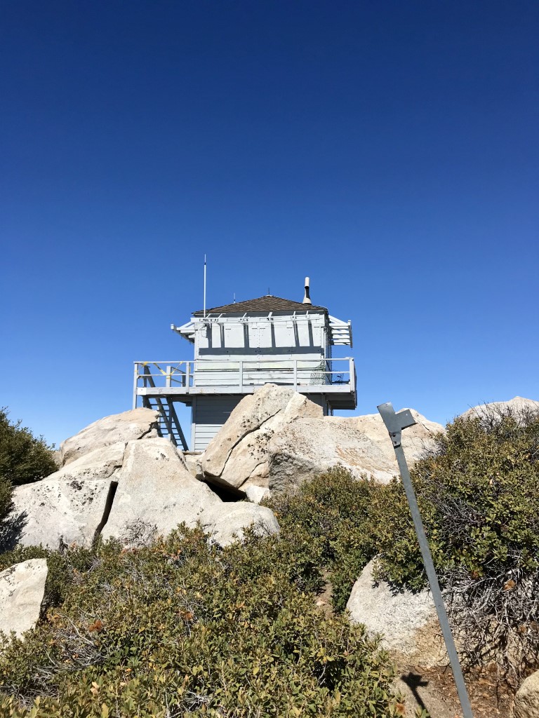
Cappie’s Scoop: This is one of my favorite hikes! There are two ways to reach the top, from the South Ridge trail and from the Devil’s Slide trail. The South Ridge trail is less crowded and has a really cool rock window. Look at my pictures below! At the top, a historic fire lookout at 8,846 ft. It’s another lookout that I can’t go inside BUT if you hike over some rocks behind it, you’ll find a really great flat area where you can rest and have a picnic. Don’t hesitate to add YOUR scoop in the comments below!
Tips: The historic fire lookout is the forests longest continuously operated station, serving some 77 years, and is the only lookout located inside a Wilderness area. Its been under renovation for some time but if it’s open, the volunteer on duty may let you take a look inside (but I don’t think dogs are allowed inside). The last mile gains nearly 1,000 ft of elevation but the views are worth it!
Directions: Located in the San Jacinto Mountains south of Idyllwild. Depending on which direction you come from, you will end up on Pine Ave where there should be a sign for the South Ridge Trail. Go 0.1 miles and turn right on Tahquitz View Dr. Go 0.3 miles and turn right on Forest Route 5S11, a dirt road. Follow the road a mile, staying left at the only major junction and park at the end. It’s a bit bumpy but if conditions are good (no recent heavy rains), a 2WD passenger car should be able to make it. The road is narrow, steep and twisting, so exercise caution. You can also call the Ranger Station (San Jacinto Ranger District, 54270 Pine Crest, Idyllwild, CA 92549; (909) 382-2921; hours are 8-4pm, closed noon to 1pm, closed Wed and Thurs and most federal holidays) and ask about road conditions. If the road is in bad shape, there are a few parking spots at the bottom of the bumpy road. To get to the trailhead is 1 mile up the road.
| Mileage (round trip) | 6.6 |
| Difficulty | Strenuous |
| Gain (in feet) | 2400 |
| Trailhead | 33.735309, -116.696079 |
| Hike Time (in hours) | 4-5 |
| Exposure | Mostly Shady |
| Scenery | Mountain Views, Forest |
| Facilities | None |
| Fees/Permits | California Adventure Pass or Interagency Annual Pass/America the Beautiful Pass (National Parks Pass). Day hike permit required. They are free, self-serve, outside of the San Jacinto/Idyllwild Ranger Station. |
| More Info | https://nobodyhikesinla.com/2013/08/16/tahquitz-peak-via-south-ridge-trail |
| Last Hiked | 5/26/2018, 4/28/2019, 4/29/2023 |


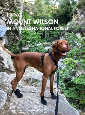
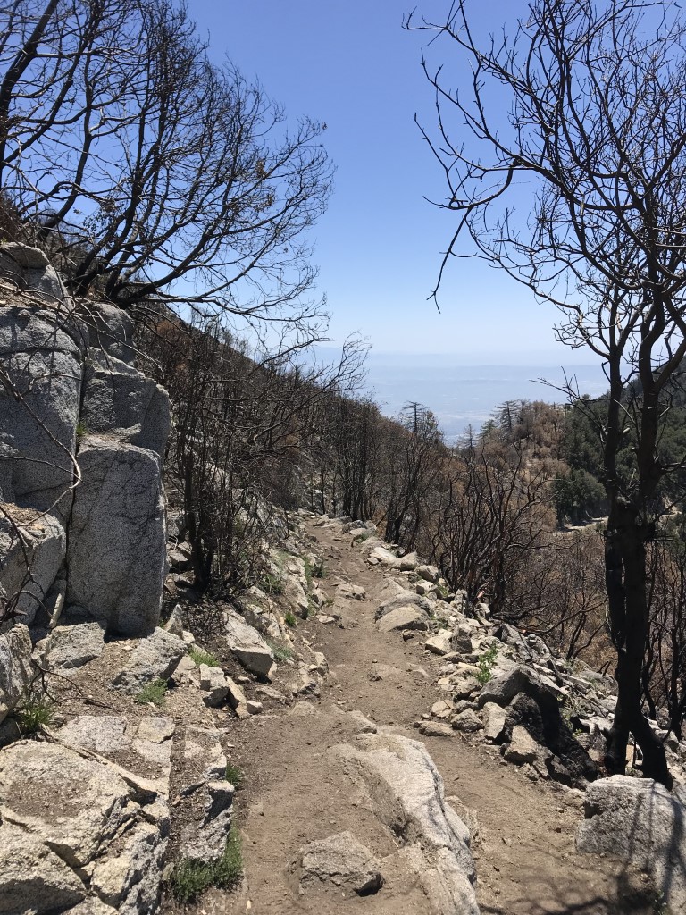
Mt. Wilson Peak Loop w/Sturtevant Falls [ROAD TO TRAILHEAD STILL CLOSED AS OF MAY 2023]

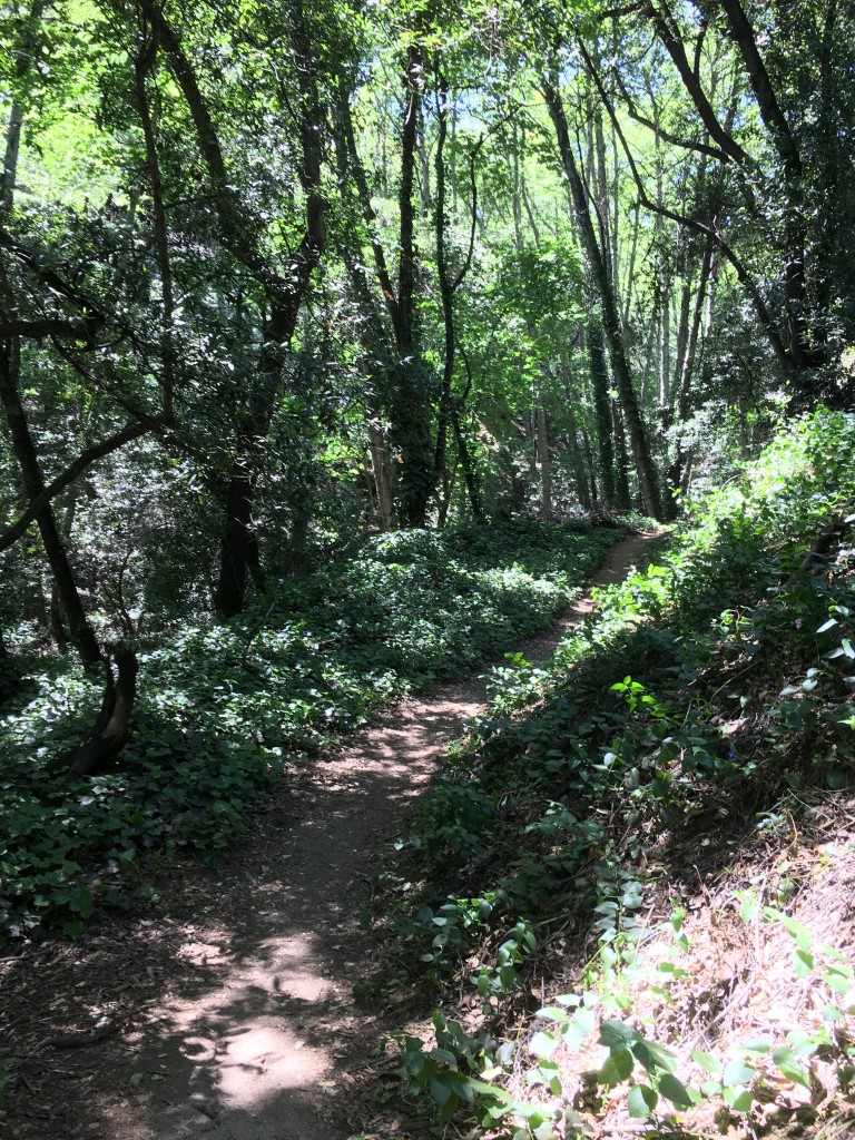
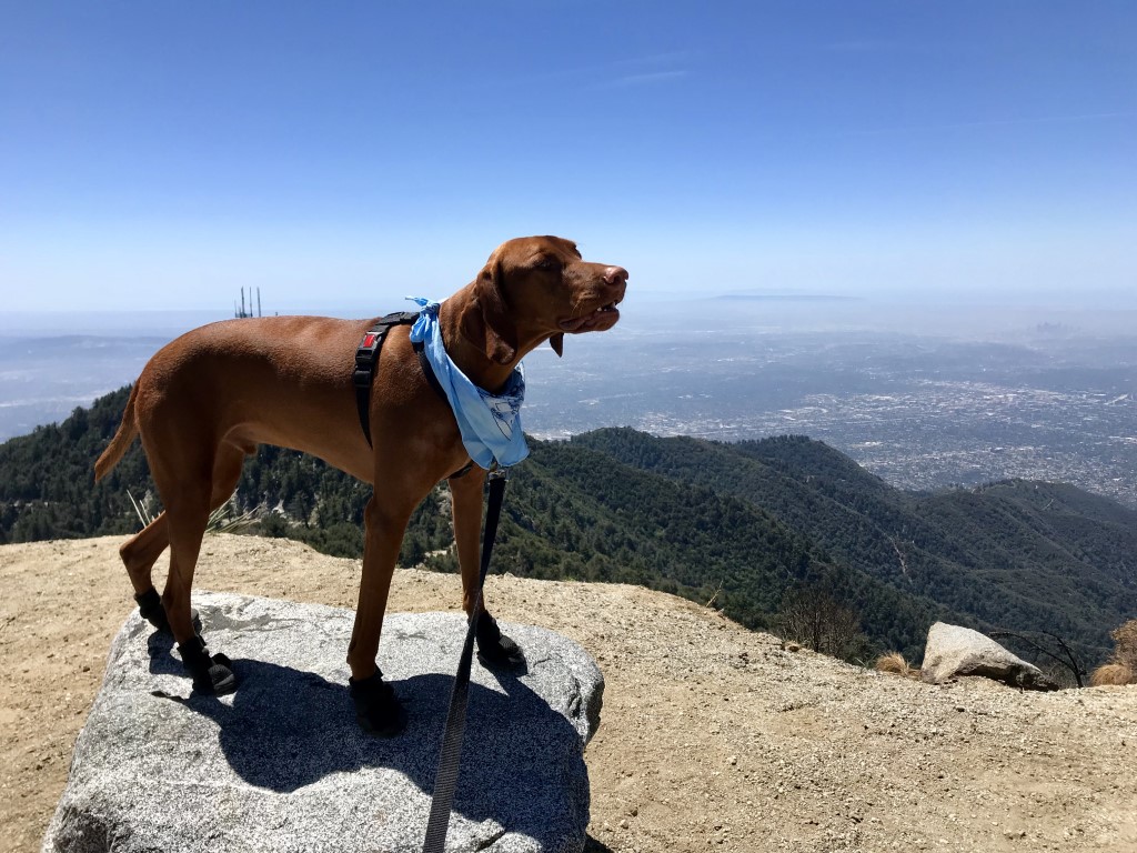
Cappie’s Scoop: This is a long hike furiends so get here early! Plus if you do, you may have some uncrowded fun time at the waterfall! This is our first stop on our big loop hike. Over a bridge, through the woods, and a few hops over the creek leads you to the falls in just a couple miles. Once I’m a wet dog, it’s time to keep hiking. This trail has a lot of trees, shade, and sometimes bugs. I told mom, I can only eat so many bugs so we need to get to the top quickly. At the top is a café, picnic tables, water, restrooms, and cars! My first thought was, we could’ve drove up here mom! My second thought was, does the café have puppuccino’s?! After a good rest at the 5,710ft summit, we headed down the old Toll Road to the Winter Creek trail and Hogee’s Camp. This was very confusing so make sure you have a map with you! Don’t hesitate to add YOUR scoop in the comments below!
Tips: Mileage includes a 1 mile detour to the 50 ft waterfall. The majority of this trail is shaded and follows a creek. Expect lots of bugs when the weather warms up.
Directions: From the 210 freeway, take Santa Anita Ave north (toward the mountain). After a few miles, it becomes Chantry Flat Road. Follow this windy road up the mountain for a few more miles and you’ll reach Chantry Flats. Parking (IMPORTANT): The road to Chantry Flats apparently opens at 6am (and closes at 8pm) but some people have said it opens earlier. Recommend getting there as close to 6am as you can to get a parking spot. If the lower lot is full, you have two options 1) park down the road on the side – you’ll see others doing it too OR 2) according to Adams Pack Station website now, if the Pack Station is closed, you’re welcome to park in the Pack Station lot and put $5.00 (since last hiked) in the Pack Station’s Honor Box.
| Mileage (round trip) | 14 |
| Difficulty | Strenuous |
| Gain (in feet) | 4200 |
| Trailhead | 34.195768, -118.022464 |
| Hike Time (in hours) | 7-8 |
| Exposure | Mostly Shady |
| Scenery | Mountain Views, Creek, Forest |
| Facilities | Toilets at trailhead and summit. Cosmic Café at summit, open Saturday’s and Sunday’s 10am – 5pm until they close for the season after Dec 2nd. |
| Fees/Permits | California Adventure Pass or Interagency Annual Pass/America the Beautiful Pass (National Parks Pass). |
| More Info | https://sixpackofpeaks.com/socal; https://socalhiker.net/a-six-pack-of-peaks; https://www.mtwilson.edu/cosmic-cafe |
| Last Hiked | 4/22/2018, 4/20/2019 |


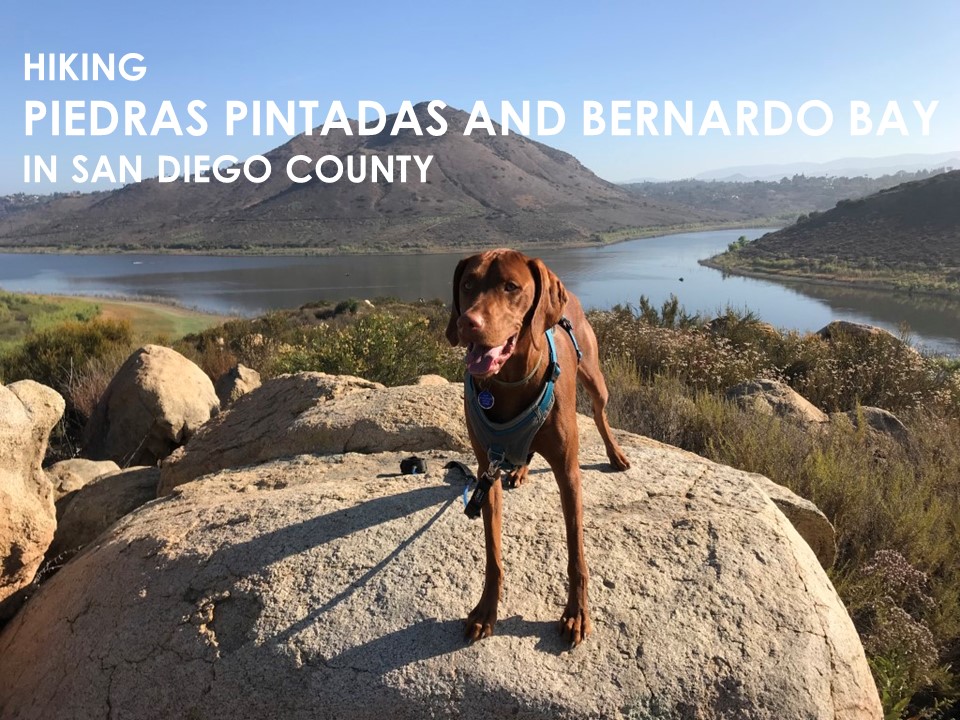
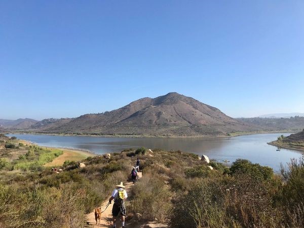
Piedras Pintadas and Bernardo Bay
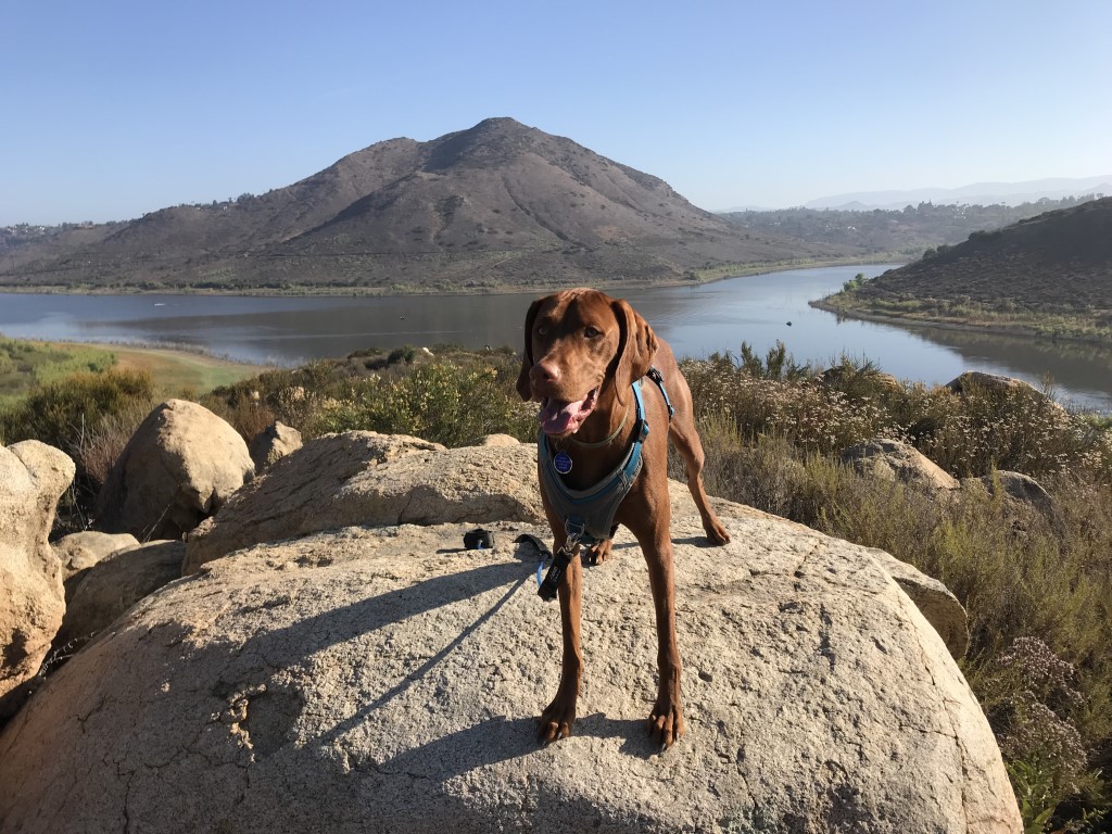
Cappie’s Scoop: There are a lot of trails around Lake Hodges and I’ve been on a mission to explore all of them! This time we headed to the Piedras Pintadas trail which has a great view of the lake. I can see lots of birds out there, hello birdies! Then I return back the way I came and do a loop so I can see Bernardo Bay, more water and more birdies. Be careful on this trail because it’s popular with mountain bikers too. The loop finishes on the paved bike path. Take a right and you head to the car, but take a left and you can take a walk over a cool bridge. It leads to another trail that follows Lake Hodges if you take a left at the end of the bridge. Wow, that’s a lot of directions huh. It gets very hot here so be sure to go early if you want to avoid lots of sun. Don’t hesitate to add YOUR scoop in the comments below!
Tips: The Piedras Pintadas trail is a marked interpretive trail filled with exhibits that describes the life and culture of the Kumeyaay people. The David Kreitzer Lake Hodges Bicycle Pedestrian Bridge is nearby and worth walking over. It’s the world’s longest stress ribbon bridge.
Directions: Can use address 19140 W Bernardo Drive. From I-15, take the W Bernardo Dr/Pomerado Rd exit and head west on West Bernardo Drive. Follow West Bernardo Drive for approximately .5 miles. The parking lot will be on your right.
| Mileage (round trip) | 5.15 |
| Difficulty | Moderate |
| Gain (in feet) | 500 |
| Trailhead | 33.052025, -117.076414 |
| Hike Time (in hours) | 3-4 |
| Exposure | Mostly Sunny |
| Scenery | Lake Views, Bay Views, Wildlife, Birds, Wildflowers |
| Facilities | Toilets in the parking lot. |
| Fees/Permits | None |
| More Info | http://hikingsdcounty.com/piedras-pintadas-bernardo-bay; https://modernhiker.com/hike/piedras-pintadas-and-bernardo-bay |
| Last Hiked | 6/9/2018, 1/27/2019, 4/14/2019 |

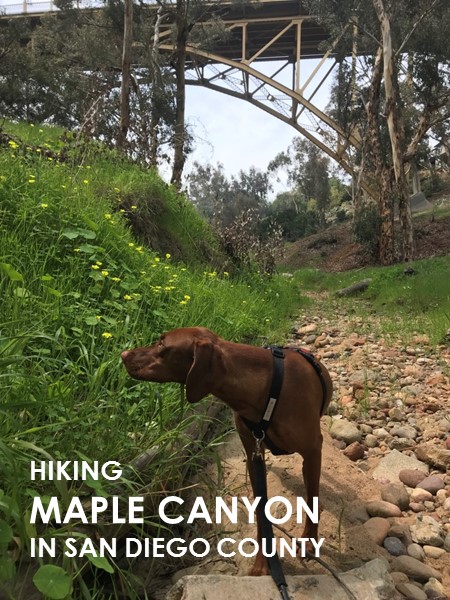
Maple Canyon
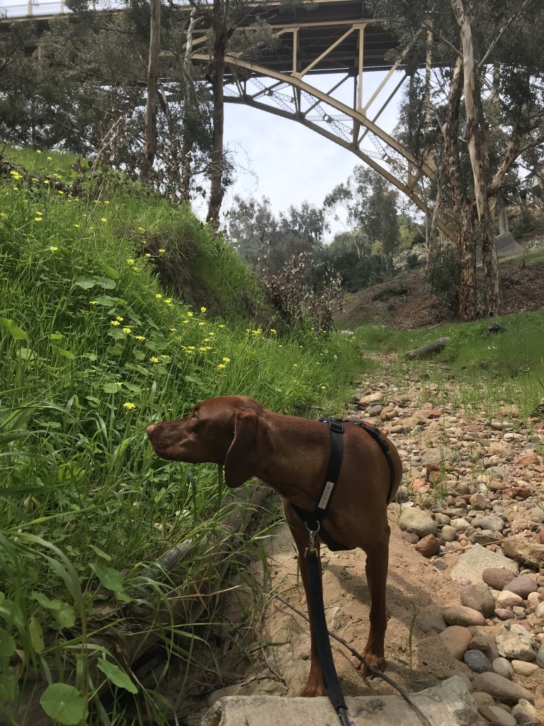
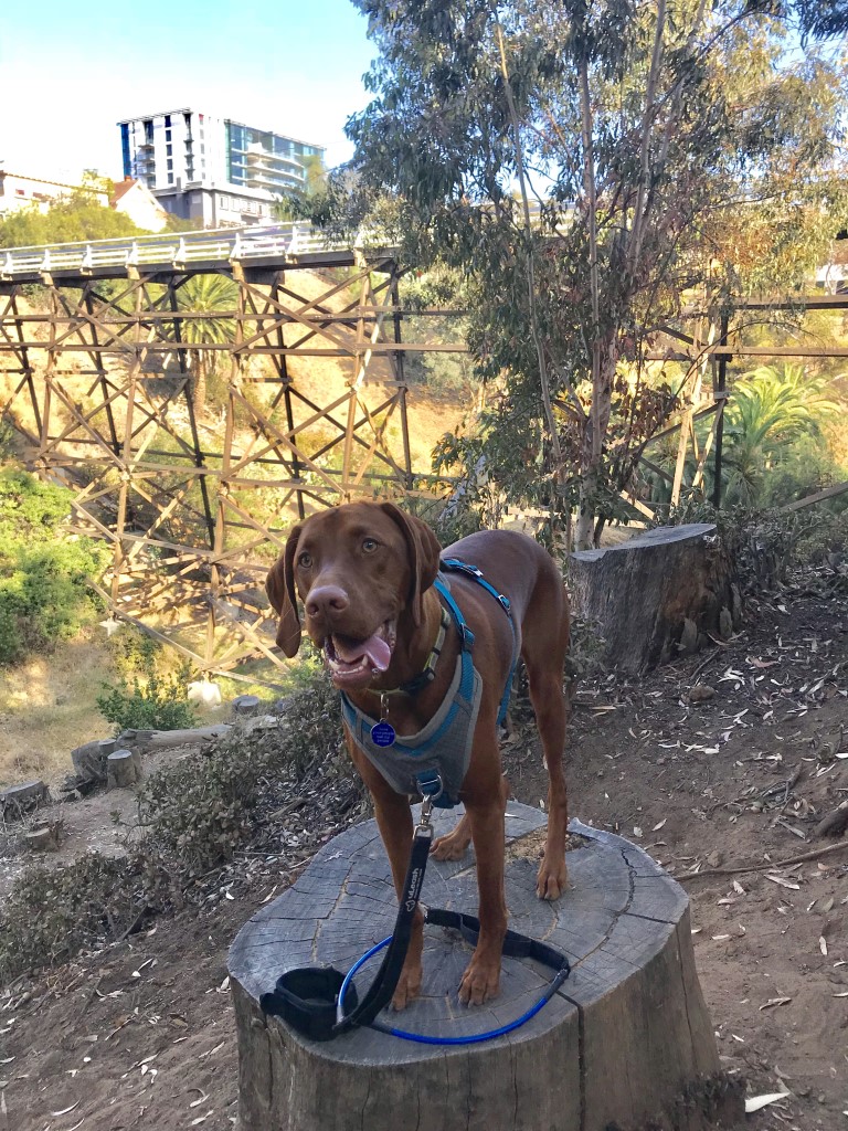
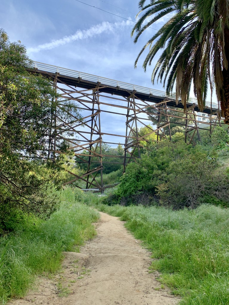
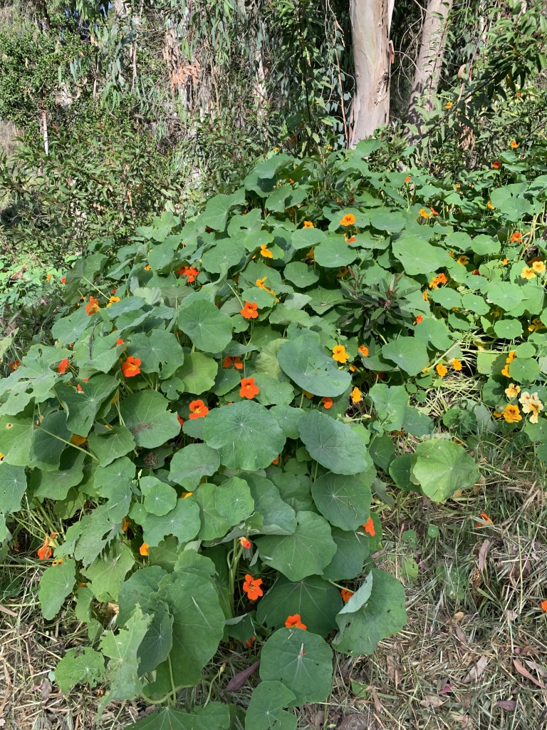
Cappie’s Scoop: I’m very lucky because this canyon is down the street from where I live! So mom and I can go anytime which means we see a lot of the changes in the canyon from lots of crunchy sticks to colorful (and sometimes edible) flowers. It’s a very short hike but with so many things to smell and bridges to walk under, I can spend a lot of time hanging out there. Sometimes I bring my furiends and after we finish hiking in the canyon, we might checkout a nearby restaurant that has a dog friendly patio for us! Don’t hesitate to add YOUR scoop in the comments below!
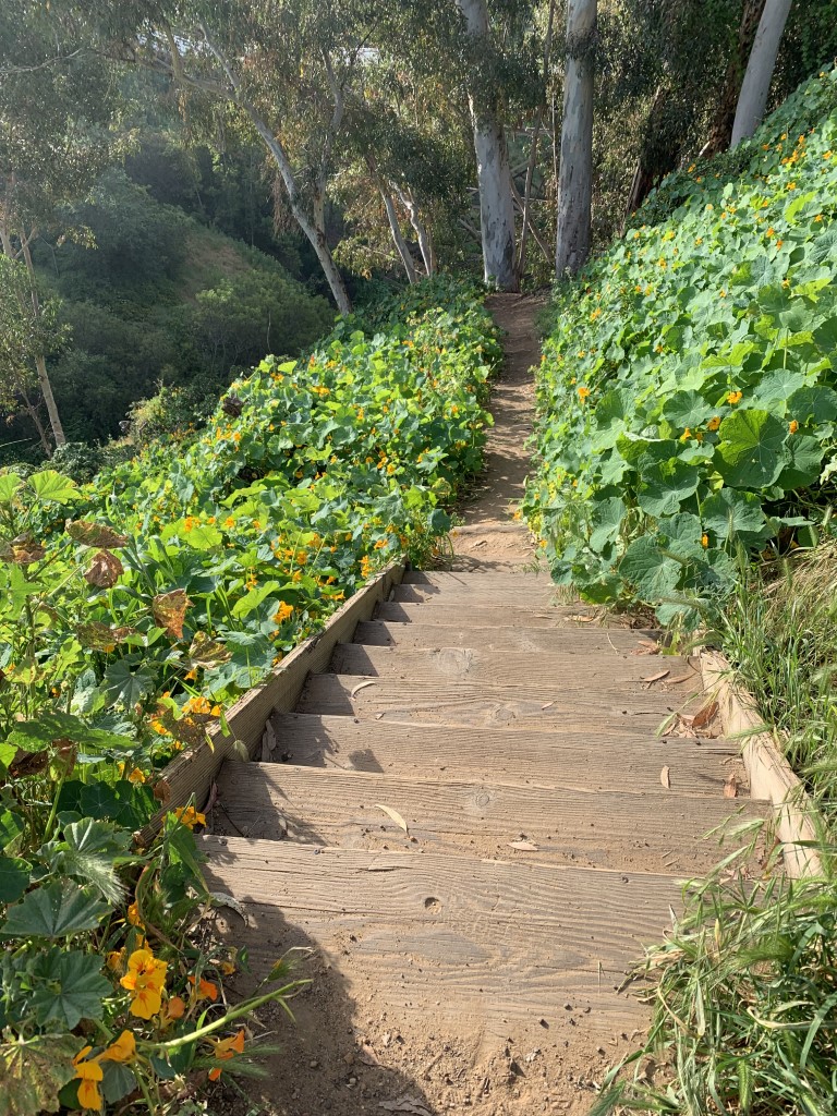
Tips: There are beautiful wildflowers here in the spring including the Nasturtium Flowers which are edible and have a peppery taste.
Directions: You can access the canyon from either a) Third Ave between Redwood St and Quince St, b) walking across the Quince St wooden bridge starting on Fourth Ave and Quince and then making a right on Third Ave or c) the end of W Maple St where it dead ends going away from State St. Parking is on the street.
| Mileage (round trip) | 2 |
| Difficulty | Easy |
| Gain (in feet) | 185 |
| Trailhead | 32.737150, -117.162201 |
| Hike Time (in hours) | 1-2 |
| Exposure | Mostly Shady |
| Scenery | Canyon Views, Trees, Wildflowers |
| Facilities | None |
| Fees/Permits | None |
| More Info | https://hiddensandiego.net/maple-canyon.php; https://www.sandiegoreader.com/news/2016/nov/30/roam-down-maple-canyon |
| Last Hiked | 3/19/2018, 3/31/2018, 6/22/2018, 7/10/2018, 4/14/2019, 6/6/2020, 3/4/2023, 5/4/2023 |