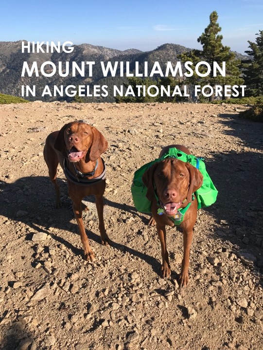
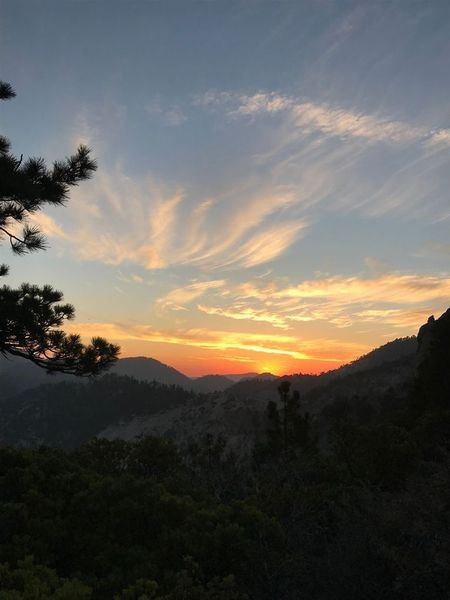
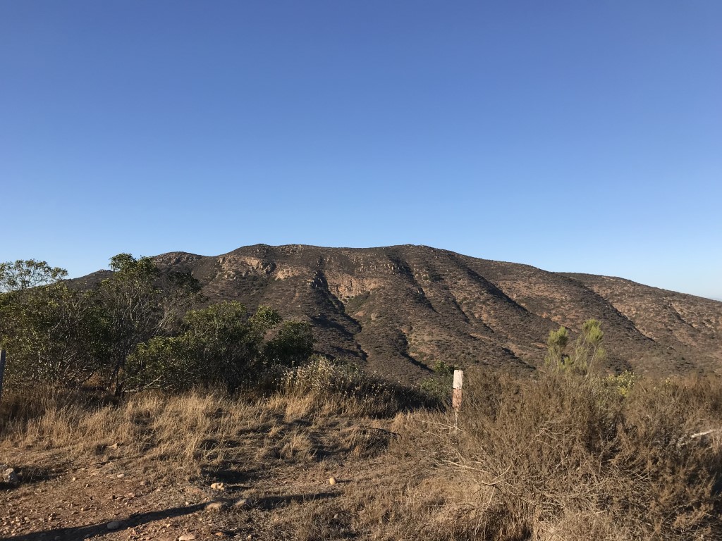
Mt. Williamson via Islip Saddle [CLOSED UNTIL 12/31/2023 DUE TO ENDANGERED MTN YELLOW-LEGGED FROG]
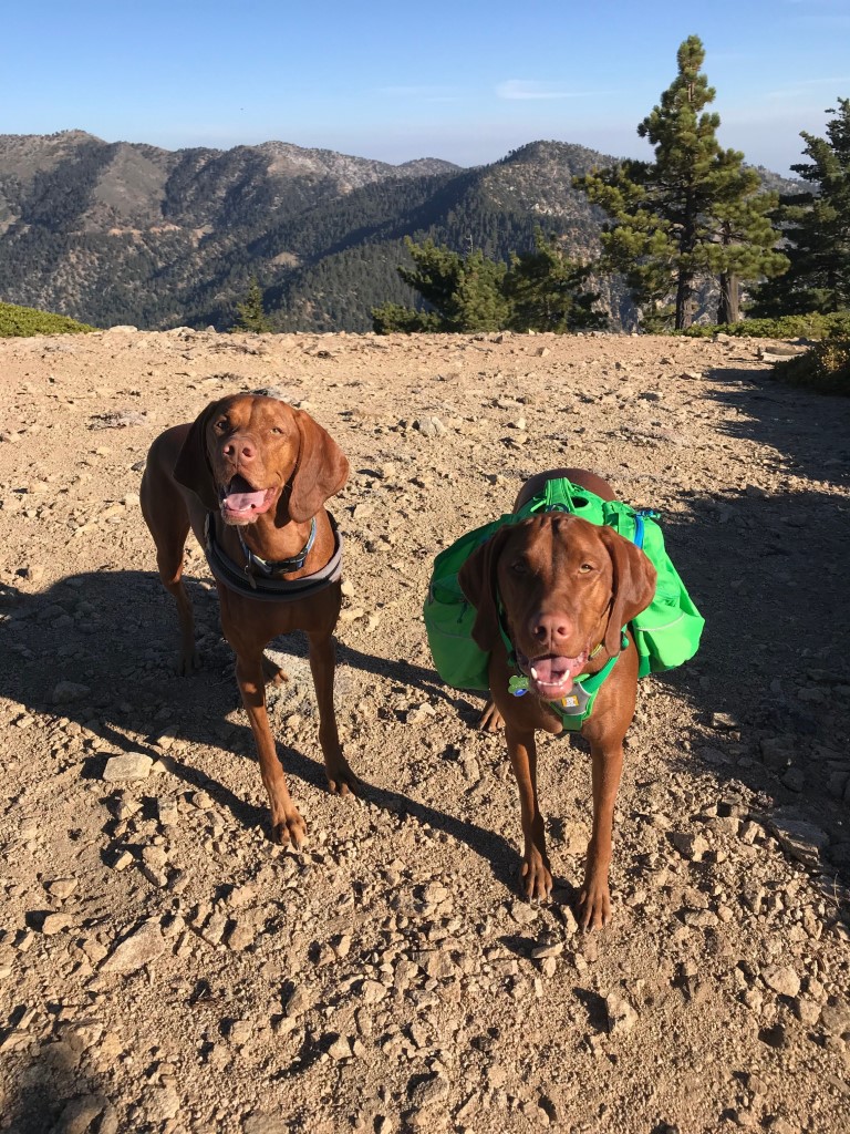
Cappie’s Scoop: Sunset hikes are a lot of fun especially when mom brings watermelon as a treat! Last time we came to this trailhead, we parked, crossed the street and backpacked to Little Jimmy Camp. Now, we’re exploring the other trail near the parking lot. It heads up to Mt. Williamson with a summit of 8,214 ft. Not to be confused with the other Mt. Williamson at 14,379 ft, which is the second highest mountain in both the Sierra Nevada range and the state of California. Whew, that’s tall! Once we reached the summit, we looked north to see if we could find views of the Devil’s Punchbowl, San Andreas Rift Zone, and the Mojave Desert. But really, all I was looking for was the watermelon. I had some dinner, some treats and headed back down the mountain with my night gear on. My best buddy and brother Mickey joined me on this hike! Don’t hesitate to add YOUR scoop in the comments below!
Tips: None
Directions: Trailhead coordinates take you to the Islip Saddle parking lot where you will leave your car.
| Mileage (round trip) | 5 |
| Difficulty | Moderately Strenuous |
| Gain (in feet) | 1575 |
| Trailhead | 34.357097, -117.850878 |
| Hike Time (in hours) | 4 |
| Exposure | Mostly Sunny |
| Scenery | Mountain Views, Forest |
| Facilities | Toilets at Islip Saddle trailhead. |
| Fees/Permits | California Adventure Pass or Interagency Annual Pass/America the Beautiful Pass (National Parks Pass). |
| More Info | https://modernhiker.com/hike/mount-williamson; https://calitrails.com/2015/07/19/a-sunset-hike-on-mount-williamson |
| Last Hiked | 9/1/2018 |
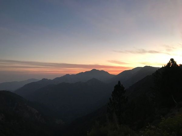
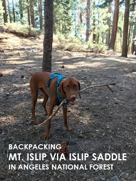
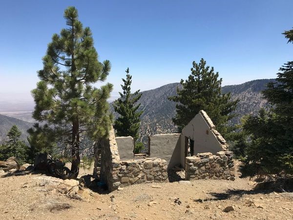
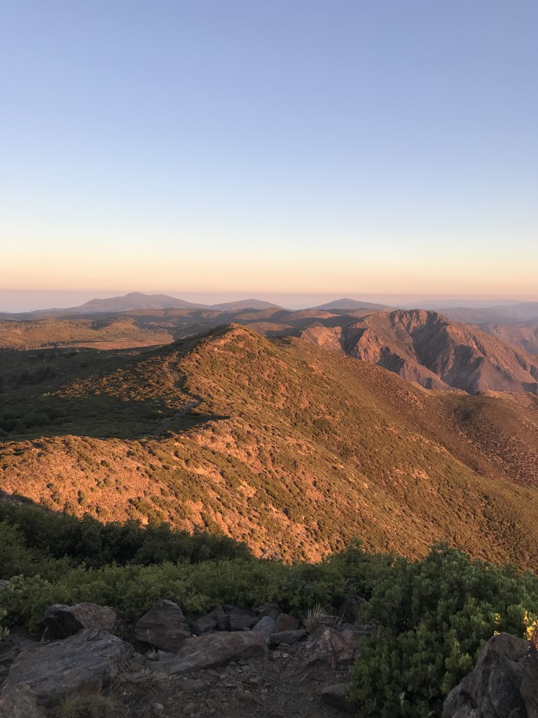
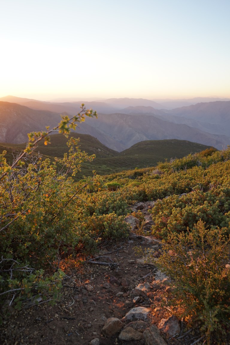
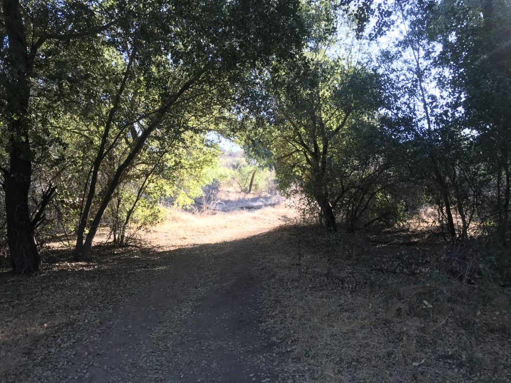
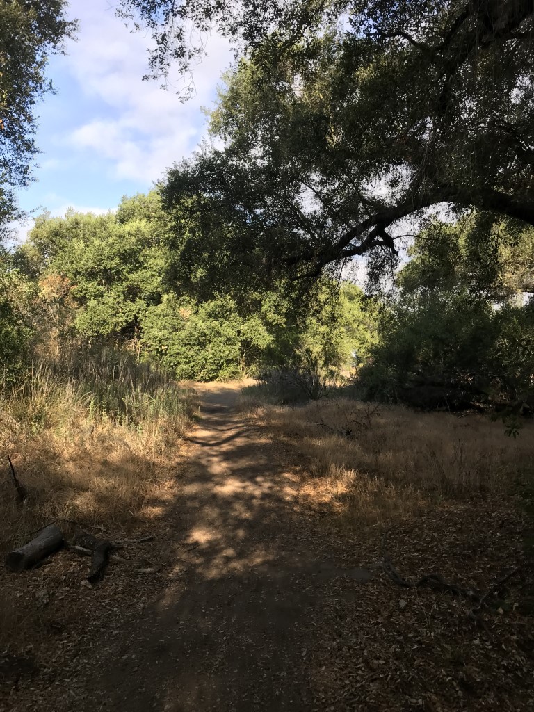
Mt. Islip via Islip Saddle
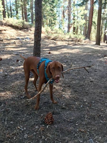
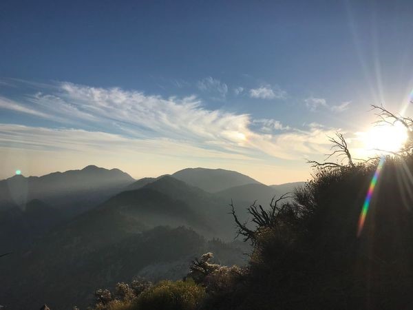
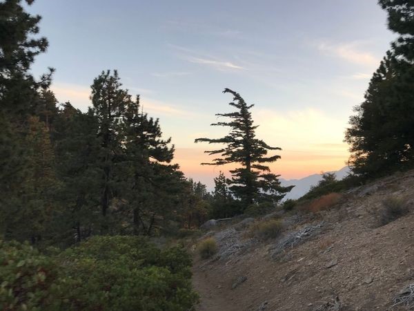
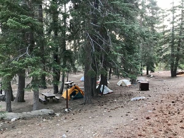
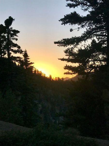
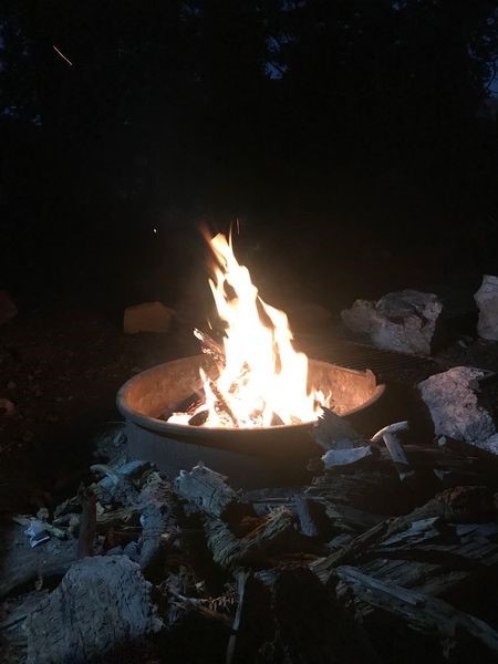
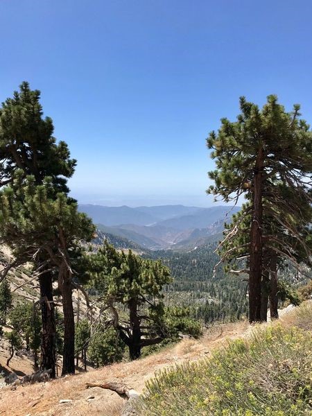
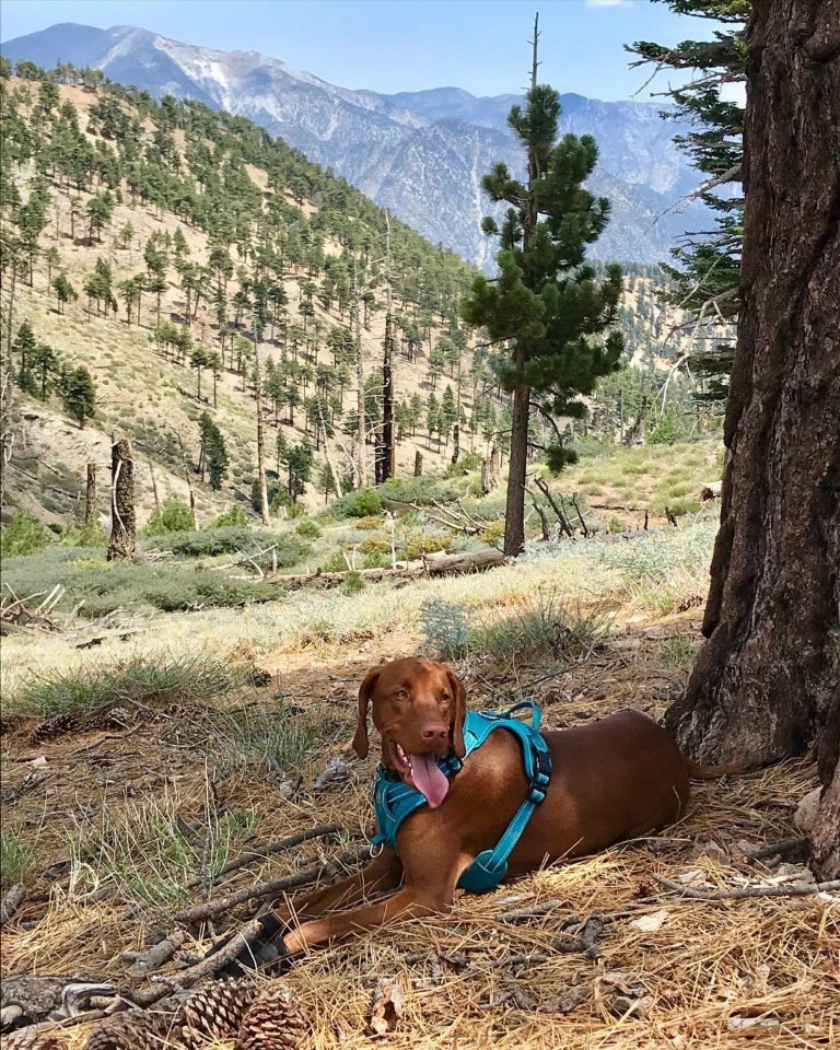
Cappie’s Scoop: Mom planned this at the last minute and now it’s one of our favorite backpacking spots! Originally, we wanted to backpack San Bernardino Peak but it was closed due to a terrible fire. I told mom I still wanted to camp so she did some research (mom is really goooood at this) and she found a short trail to a campground in the middle of the Angeles National Forest. We invited a bunch of our furiends to join us because the more the merrier! We backpacked to camp and picked out a great spot where we could build a fire at night. We setup our tents under some shady trees, well mom setup the tent and I told her I’d help by gathering sticks for the fire. Of course, I would have to sample a few of those sticks to see if they were campfire worthy. I hid my favorites behind the tent for later. Then we decided to hike to Mt. Islip at 8,250 ft and is 2.8 miles RT from camp. There were remains of an old fire lookout and a view of Crystal Lake. From here you can also pick up a few more trails to hike down to Crystal Lake or also to Baden-Powell if you wanted to! But we decided to head back to camp, have dinner, enjoy a cozy campfire and then off to the tent for a nice snooze. The next morning Mom and I got up early to try and find a nearby spot to watch the sunrise but were so many trees that we couldn’t see too much. We had some breakfast, packed up camp, and headed back down the trail to the car. I can’t wait to come back here again! Don’t hesitate to add YOUR scoop in the comments below!
Tips: Make sure you put your food and smelly items in the provided bear boxes at the campground. Bears are known to roam the area!
Directions: Coordinates take you to the Islip Saddle trailhead parking lot where you will leave your car. You can leave your car parked here overnight with your California Adventure Pass displayed in the window. Be sure to keep any valuables out of sight. The trail to Little Jimmy Campground starts across the street and follows the PCT for 2.1 miles. If you have any questions on what gear to pack for a trip like this, don’t hesitate to contact us!
Planning a Backpack – April 2021 Newsletter Special Issue
| Mileage (round trip) | 7 |
| Difficulty | Moderate |
| Gain (in feet) | 1627 |
| Trailhead | 34.357097, -117.850878 |
| Time | 2 nights |
| Exposure | Sunny and Shady |
| Scenery | Mountain Views, Forest |
| Facilities | Vault toilets at Islip Saddle trailhead and Little Jimmy campground. There is a spring (water source) about ¼ of a mile by trail southeast of the campground. Depending on rainfall, the spring could be flowing or just a trickle. Be sure to filter the water from this spring. |
| Fees/Permits | California adventure pass is required to park. You can also use your Interagency Annual Pass also known as the America the Beautiful Pass (National Parks Pass). Campfire rings are provided. A CA campfire permit is required to operate backpack stove or equivalent heating device. There is NO fee to camp at Little Jimmy. There are 16 first-come, first-serve sites with fire rings, picnic tables, vault toilets, and vintage backcountry ovens. There are also bear boxes if you don’t want to bring a bear canister. Woohoo, save on that and bring more water! |
| More Info | https://modernhiker.com/hike/hiking-mount-islip |
| Last Hiked | 7/14/2018 |


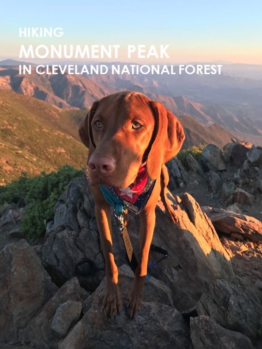
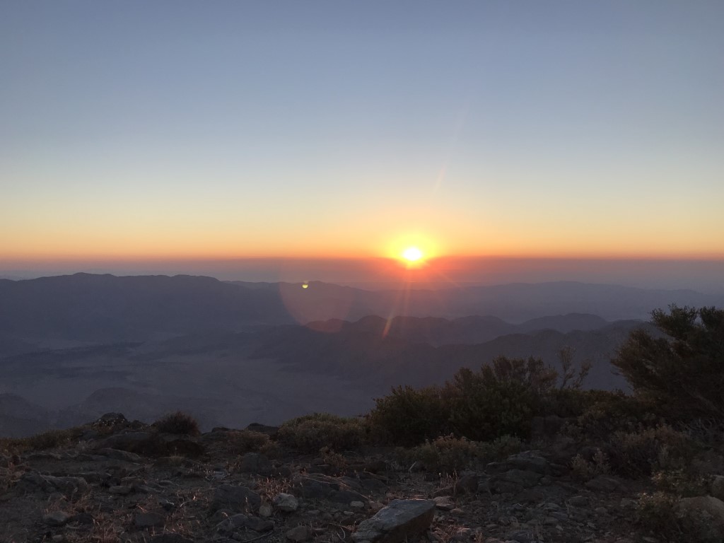
Monument Peak via Big Laguna Trail
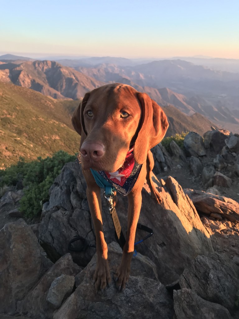
Cappie’s Scoop: When I go camping in Mount Laguna, there are two hikes I like to do, Monument Peak and Garnet Peak! It’s a tradition now to hike Monument Peak to see the sunrise. We start early and I get to use my lighted collar and blinking light while we start hiking up as fast as we can so we can get there in time to see the sunrise over the desert. The peak itself isn’t too attractive because there are tall metal sticks there. Mom says they are antennas and we shouldn’t stand near them for too long. Once the sun rises, we slowly hike back so the sun can warm us up after a cool morning. Don’t hesitate to add YOUR scoop in the comments below!
Tips: This is a great hike to do at sunrise when you can watch the sun coming up over the desert.
Directions: From I-8 E take the Sunrise Highway exit and turn left onto Sunrise Highway (S1). Follow Sunrise Highway for approximately 11.6 miles to the Big Laguna trailhead on your right.
| Mileage (round trip) | 2.9 |
| Difficulty | Moderate |
| Gain (in feet) | 600 |
| Trailhead | 32.885598, -116.432655 |
| Hike Time (in hours) | 2-3 |
| Exposure | Mostly Sunny |
| Scenery | Mountain Views, Desert Views |
| Facilities | None |
| Fees/Permits | California Adventure Pass or Interagency Annual Pass/America the Beautiful Pass (National Parks Pass). |
| More Info | http://hikingsdcounty.com/monument-peak |
| Last Hiked | 10/10/2017, 7/4/2018 |


Rim Trail
Cappie’s Scoop: On the Rim Trail, you’re supposed to be able to see all 5 Mission Trail Peaks but I always forget to bring a map. So furiends, have a map handy if you want to try and pick them out. This is a good one, the Mission Trails Regional Park Trail Map. Don’t hesitate to add YOUR scoop in the comments below!
Tips: None
Directions: Can use address 4198 Colina Dorada Dr, San Diego, CA 92124. Or from I-15 take the Tierrasanta Blvd exit. Head east on Tierrasanta Blvd for approximately 2.9 miles (almost to the end of the road), then turn left onto Colina Dorada Dr. Follow Colina Dorada for approximately 1 mile to the trailhead at the intersection of Colina Dorada Drive and Calle De Vida. Park on the street.
| Mileage (round trip) | 4.1 |
| Difficulty | Moderate |
| Gain (in feet) | 568 |
| Trailhead | 32.820744, -117.077229 |
| Hike Time (in hours) | 3 |
| Exposure | Sunny |
| Scenery | Mountain Views |
| Facilities | None |
| Fees/Permits | None |
| More Info | http://hikingsdcounty.com/rim-trail-mission-trails-regional-park; https://mtrp.org |
| Last Hiked | 6/27/2018 |
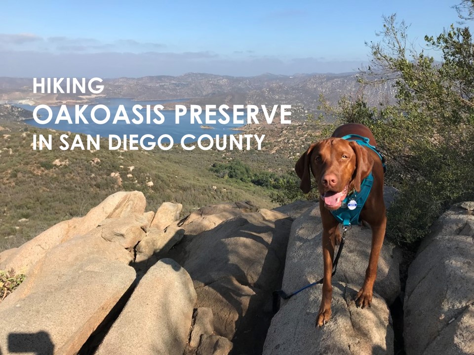
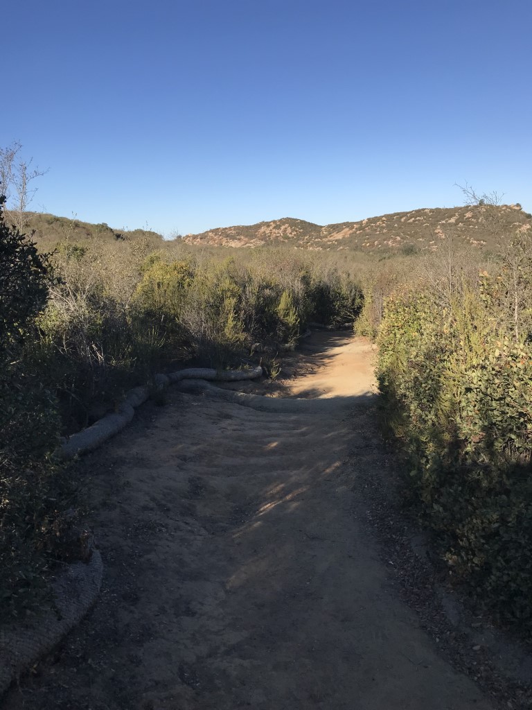
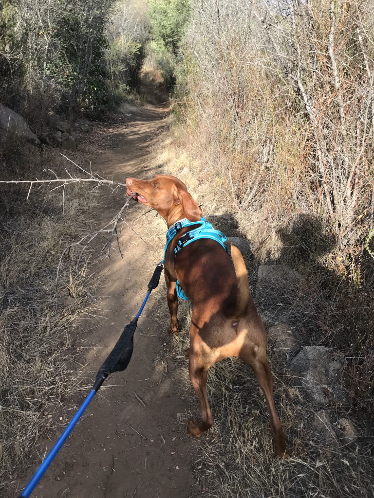
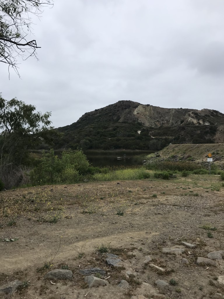
Oakoasis Preserve
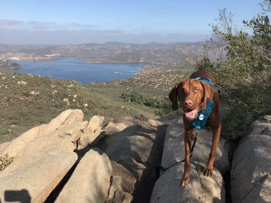
Cappie’s Scoop: Do you need a short hike with a great water view, check this out! It’s an easy hike to get out and stretch your paws. There is a nice view of the San Vicente Reservoir and some really good sticks along the way. Wish I could swim in it but I don’t think I can. Don’t hesitate to add YOUR scoop in the comments below!
Tips: None
Directions: From I- 8, take Highway 67 N (toward Ramona) until the freeway portion ends and turn right on Mapleview Street. Then turn left on Ashwood Street, which will turn into Wildcat Canyon Road. Go a little over 4 miles, as you get to the top of the hill turn left at the entrance to Oakoasis Open Space Preserve. Proceed about 1/10 of a mile up this road and the parking lot will be on your right. Oakoasis Preserve is directly across the street from El Capitan Open Space Preserve.
| Mileage (round trip) | 2.5 |
| Difficulty | Easy |
| Gain (in feet) | 600 |
| Trailhead | 32.912691, -116.887126 |
| Hike Time (in hours) | 2 |
| Exposure | Sunny and Shady |
| Scenery | Trees, Wildlife, Lake Views |
| Facilities | Toilets in the parking lot. |
| Fees/Permits | None |
| More Info | http://hikingsdcounty.com/oakoasis-preserve-trail |
| Last Hiked | 2/24/2018, 6/24/2018 |

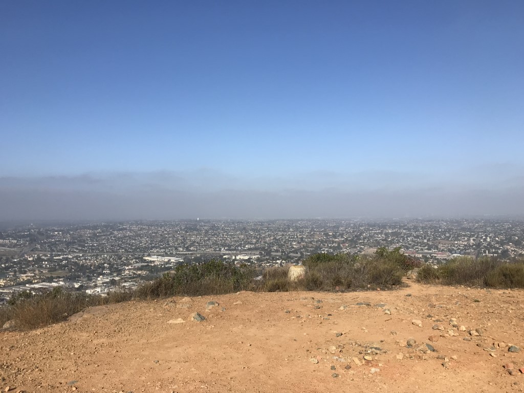
Dictionary Hill Open Space Preserve

Cappie’s Scoop: This might be a short hike and there are some hills to climb but once we got to the top, we had some really good views of the area! I saw LOTS of water. The Sweetwater Reservoir to the south, the Silver Strand, Point Loma, Coronado Bridge and Coronado Islands off the coast of Mexico to the west, and Cowles Mountain to the north. This would be a good spot to watch the sunset with your furiends. After we hiked, we drove about 15 minutes to grab breakfast at Sheldon’s Service Station (c1920), 8401 La Mesa Blvd, La Mesa, CA 91942. Dogs are allowed on the patio! Don’t hesitate to add YOUR scoop in the comments below!
Tips: None
Directions: From 94 E take the Sweetwater Springs Blvd. Head south on Sweetwater Springs Blvd for approximately 0.9 mile. Turn right onto Austin Drive and continue for approximately 0.7 mile. Turn left onto S Barcelona St and proceed about 0.3 mile to the end of the road where you will find the trailhead – and the end of the road. Park along the street.
| Mileage (round trip) | 2.1 |
| Difficulty | Moderate |
| Gain (in feet) | 565 |
| Trailhead | 32.726823, -116.983425 |
| Hike Time (in hours) | 2 |
| Exposure | Sunny and Shady |
| Scenery | Rolling Hills, Bay Views, Lake Views |
| Facilities | None |
| Fees/Permits | None |
| More Info | http://hikingsdcounty.com/dictionary-hill-open-space-preserve |
| Last Hiked | 6/10/2018 |


San Clemente Canyon via Marian Bear Memorial Park

Cappie’s Scoop: The name of this place is very long. So Mom had to tell me the story. In 1971, San Clemente Canyon became San Diego’s first officially dedicated natural park. It was rededicated as Marian R. Bear Memorial Park in 1979 for her role in preventing Highway 52 from being built in the San Clemente creek bed. She also helped in preserving Tecolote Canyon and passage of Proposition C, a $65 million open-space preservation plan for the acquisition of major parcels of park preserves within the City of San Diego. Mrs. Marian Bear was one of the city’s most active and persistent defenders of open-space preservation. Big thank you to Mrs. Bear for having a great last name and preserving spots for me to hike! From your furiend Cappie Bear. Don’t hesitate to add YOUR scoop in the comments below!
Tips: None
Directions: From Highway 52, take the Regents Road exit. Head south on Regents Road a short distance to the entrance to Marian Bear Memorial Park on your right. Follow the driveway UNDER Regents Road to park in the eastern parking lot.
| Mileage (round trip) | 4.6 |
| Difficulty | Easy |
| Gain (in feet) | 223 |
| Trailhead | 32.841958, -117.213476 |
| Hike Time (in hours) | 3 |
| Exposure | Mostly Shady |
| Scenery | Trees, Canyon Views |
| Facilities | Restrooms and drinking fountains at trailhead. |
| Fees/Permits | None |
| More Info | http://hikingsdcounty.com/san-clemente-canyon; https://www.sandiegoreader.com/news/2012/sep/12/roam-san-clemente-east |
| Last Hiked | 5/28/2018 |
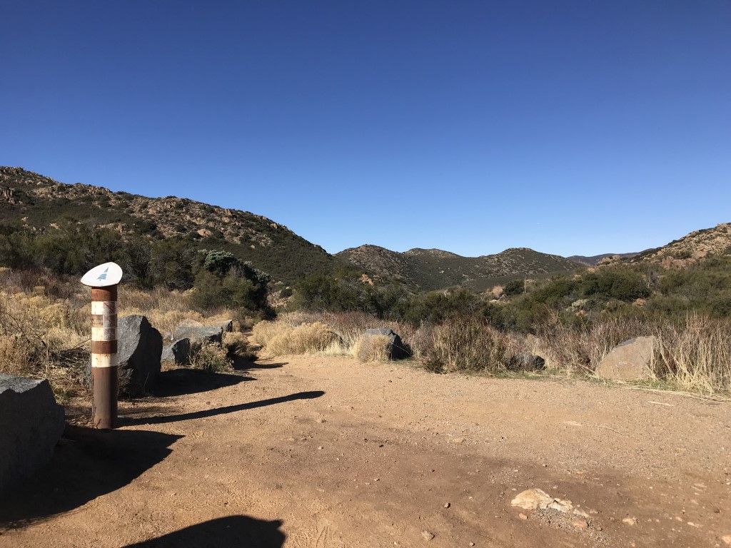
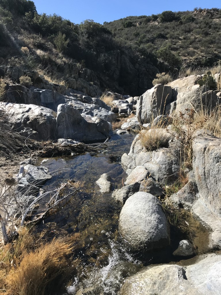
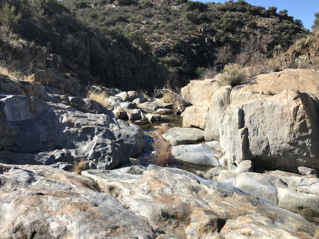
Kitchen Creek Falls via Kitchen Creek Rd
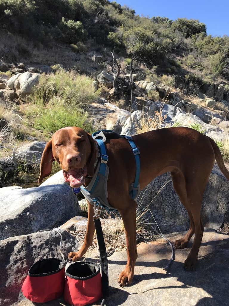
Cappie’s Scoop: I really like hiking to a waterfall! Especially when I can dip my paws in the water for a bit and then have breakfast. You know what’s cool about this hike (besides the falls of course) is that it’s on the PCT. Mom and I like to come in April just when the PCTers are starting their big hike from Mexico to Canada. I like to hand out treats like oranges and they give really good butt scratches in return! I also like to ask them if they have a trail name and I tell them I have one too! Mine is Stick Hunter and they think that’s really cool! Don’t hesitate to add YOUR scoop in the comments below!
Tips: You can hike to Kitchen Creek Falls from either Kitchen Creek Rd which is described here or you can start at a trailhead near Boulder Oaks Campground which is 4.7 miles RT and described at this link http://hikingsdcounty.com/kitchen-creek-falls.
Directions: Take I-8 E to the Cameron Station/Kitchen Creek Road exit and turn left onto Kitchen Creek Road. Follow Kitchen Creek Road for approximately 2.5 miles to a wide turnout on the left where you can park. The trailhead was marked by a PCT blaze mounted on a metal post.
| Mileage (round trip) | 3.6 |
| Difficulty | Easy |
| Gain (in feet) | 620 |
| Trailhead | 32.747847, -116.451212 |
| Hike Time (in hours) | 3 |
| Exposure | Mostly Sunny |
| Scenery | Mountain Views, Creek |
| Facilities | None |
| Fees/Permits | None |
| More Info | http://hikingsdcounty.com/kitchen-creek-falls-via-kitchen-creek-road |
| Last Hiked | 4/8/2018, 5/27/2018 |


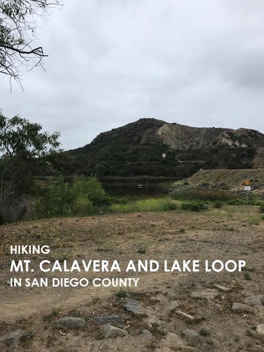
Mt. Calavera and Lake Loop
Cappie’s Scoop: Lake Calavera Open Space Preserve has many trails but we took the route up to Mount Calavera and then did a loop around the lake. When we got to the mountain, I looked at mom and she knew what I was thinking … that’s a big hole, where’s the mountain. Then she explained, Mount Calavera is not actually a mountain but a volcanic plug formed by the cooled and hardened lava that flowed from the volcano’s opening. I stopped listening after she said plug and wondered when we might see the lake. I wanted to see if I could jump in! Seems like all we ever do is walk next to the water but we never get in it. This time was no different, view of the lake from the trail, a few pictures and some treats. I guess I can forgive mom this time since she brought treats. Don’t hesitate to add YOUR scoop in the comments below!
Tips: This route starts at the Oak Riparian Park.
Directions: From Highway 78 take the Emerald Drive exit. Head south on Emerald Drive and continue as it turns into Sunset Drive. Approximately .6 mile after exiting the freeway, turn right onto Emerald Drive again. Turn left onto Lake Blvd, and the park will be on your right in about 0.3 mile. If the parking lot is full, you can find street parking in the nearby residential area.
| Mileage (round trip) | 3.4 |
| Difficulty | Easy |
| Gain (in feet) | 459 |
| Trailhead | 33.176856, -117.270026 |
| Hike Time (in hours) | 2-3 |
| Exposure | Sunny |
| Scenery | Lake Views, Wildlife |
| Facilities | Restrooms and drinking fountains at park. |
| Fees/Permits | None |
| More Info | http://hikingsdcounty.com/mount-calavera |
| Last Hiked | 5/19/2018 |


Canyon Oak to Desert View Trail Loop

Cappie’s Scoop: It was a really sunny day when I visited this county park. The trail starts near the campground and I was hoping we might stay the night too. But we were only there to hike for the day. We started in Canyon Oak and then found the Desert View Trail. From there, we took a quick side trip all the way up to some view called Glens. I wonder if I can get my own view on a sign, Cappie’s view. Hmmm… Well there was a really cool view finder and mom said she could see Granite Mountain, El Cajon Mountain, the Salton Sea, and Anza-Borrego. I hope one day we visit the Salton Sea. Some of my furiends say there’s a good fish smell there. Sounds great right! After our hike, mom and I stopped in downtown Julian to get apple pie and hang out. Don’t hesitate to add YOUR scoop in the comments below!
Tips: None
Directions: Can also use address for William Heise County Park address is 4945 Heise Park Rd, Julian, CA 92036. Park opens at 9:30am. Pay your day use fee at the entrance station, and then drive into the campground. Follow the main road through the campground until you find a small parking area on the right labeled “Canyon Oak Trail Parking Day Use” and park there. The start of the Canyon Oak trailhead is across the road.
| Mileage (round trip) | 3.25 |
| Difficulty | Moderate |
| Gain (in feet) | 900 |
| Trailhead | 33.040433, -116.587984 |
| Hike Time (in hours) | 3-4 |
| Exposure | Mostly Sunny |
| Scenery | Desert Views, Mountain Views, Wildlife |
| Facilities | Restrooms and water in the park. |
| Fees/Permits | $3 day use parking fee paid at the gate entrance. |
| More Info | http://hikingsdcounty.com/canyon-oak-desert-view-loop; http://www.sdparks.org/content/sdparks/en/park-pages/WilliamHeise.html |
| Last Hiked | 5/5/2018 |