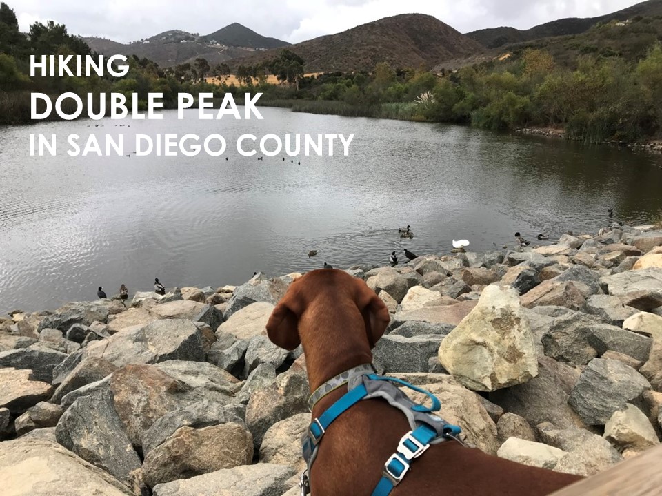
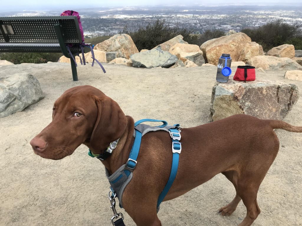
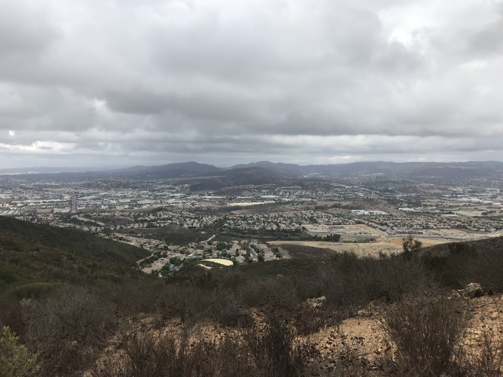
Double Peak
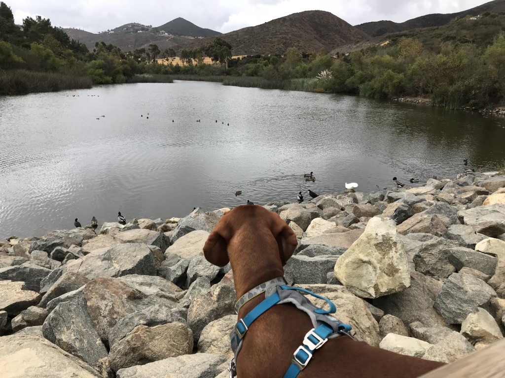
Cappie’s Scoop: I almost forgot we were hiking to a peak because as soon as we started hiking, I saw this big lake with tons of ducks swimming and wanted to stay there. Mom said I could watch the ducks for a little bit but that I couldn’t go swimming with them. What a bummer! So I said bye to the duckies and we started up the dirt trail. It was a bit steep at certain times but then we reached a road. Again, a road! I looked at mom, we could’ve drove here?! But there is no fun in that and if we did, I would’ve missed the ducks. At the top, there are comfy benches to relax and a nice view of the area. I got my victory treats and we returned the same way we came … stopping to see the ducks again of course. Don’t hesitate to add YOUR scoop in the comments below!
Tips: You’ll pass Discovery Lake on your way to the peak. There is a trail that circles the lake if you wanted to add that to your hike.
Directions: Take I-15 to 78 West. Take the Twin Oaks Valley Road exit. Turn left onto N Twin Oaks Valley Road and continue for approximately 0.8 miles. Turn right onto Craven Road and continue for approximately 0.6 miles. Turn left onto Foxhall Dr and continue for approximately 0.2 miles. The entrance to Lakeview Park will be on your right.
| Mileage (round trip) | 4.25 |
| Difficulty | Moderate |
| Gain (in feet) | 1023 |
| Trailhead | 33.124582, -117.178944 |
| Hike Time (in hours) | 3-4 |
| Exposure | Sunny |
| Scenery | Lake Views, Trees, Wildlife |
| Facilities | Restrooms and drinking fountains at Double Peak Park. |
| Fees/Permits | None |
| More Info | http://hikingsdcounty.com/double-peak |
| Last Hiked | 10/20/2017 |
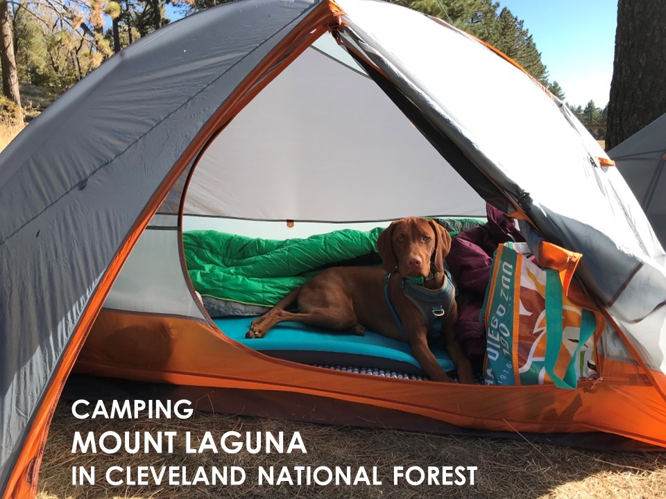
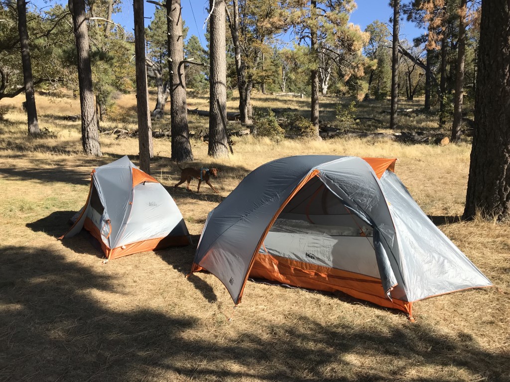
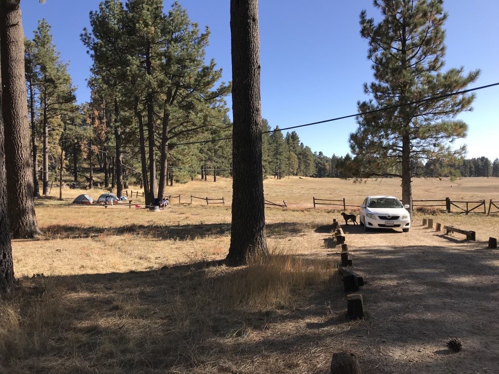
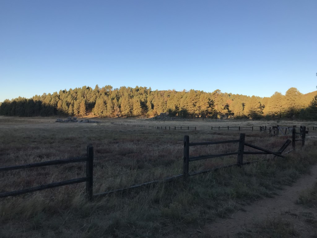
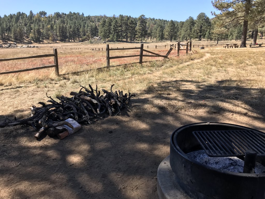
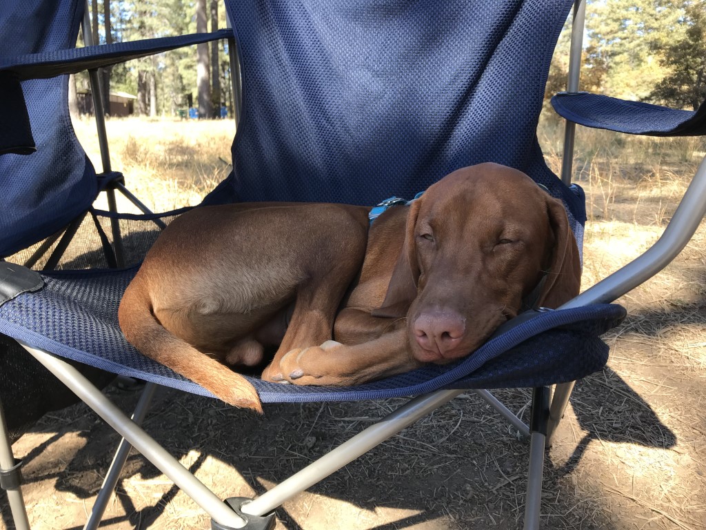
Mount Laguna Campground
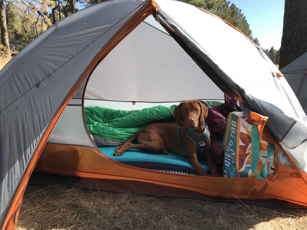
Cappie’s Scoop: This has been our go-to campground for Mom and I. We really like this spot. It’s close to the trails and a very big meadow where I can zoooom through it. If we ever need to get away, this is our spot. It’s not too far from our home in San Diego and its fun to get into the mountains when we were just at the beach! Don’t hesitate to add YOUR scoop in the comments below!
Tips: Camp sites have a picnic table and a fire ring. You can also collect firewood in the area to use for a fire. Our favorite site is #15 because it is huge and is next to the meadow which has a couple hiking trails. Nearby hikes include Pine Mountain Loop, Garnet Peak, Monument Peak via Big Laguna Trail, Agua Dulce Loop and Wooded Hill.
Directions: From I-8 E take the Sunrise Highway exit and turn left onto Sunrise Highway (S1). Head north on Sunrise Highway for approximately 13 miles. Then turn left onto Laguna Meadow Rd. and follow signs for the Mount Laguna Campground. The El Prado Group Campground is also located in the same spot.
| Location | 32.890195, -116.449112 |
| Time | 2 nights |
| Exposure | Shady |
| Scenery | Mountain Views, Forest, Wildlife |
| Facilities | Bathrooms and water available in one of the campground loops. There are also coin-operated showers but we haven’t used them and are unsure of the cost. |
| Fees/Permits | Sites are $29/night at the time of writing this post. |
| More Info | https://www.recreation.gov/camping/campgrounds/232279?start=10; https://www.fs.usda.gov/recarea/cleveland/recreation/camping-cabins/recarea/?recid=47476&actid=31 |
| Last Camped | 10/9/2017-10/11/2017 |

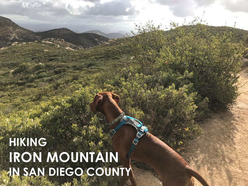
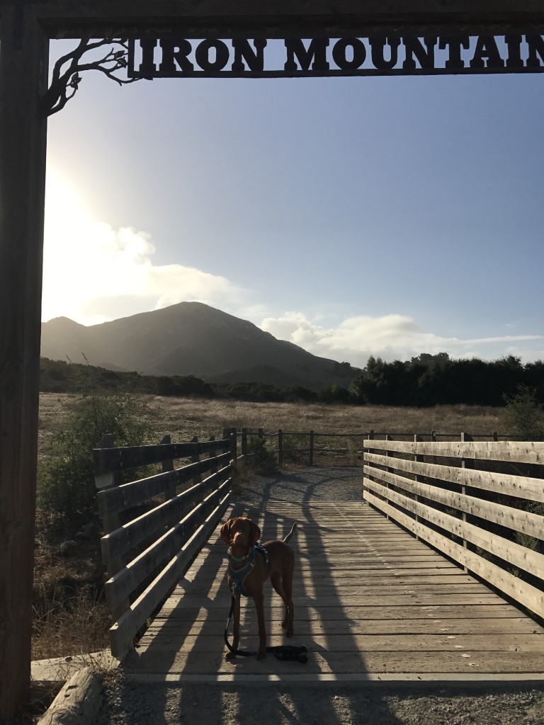
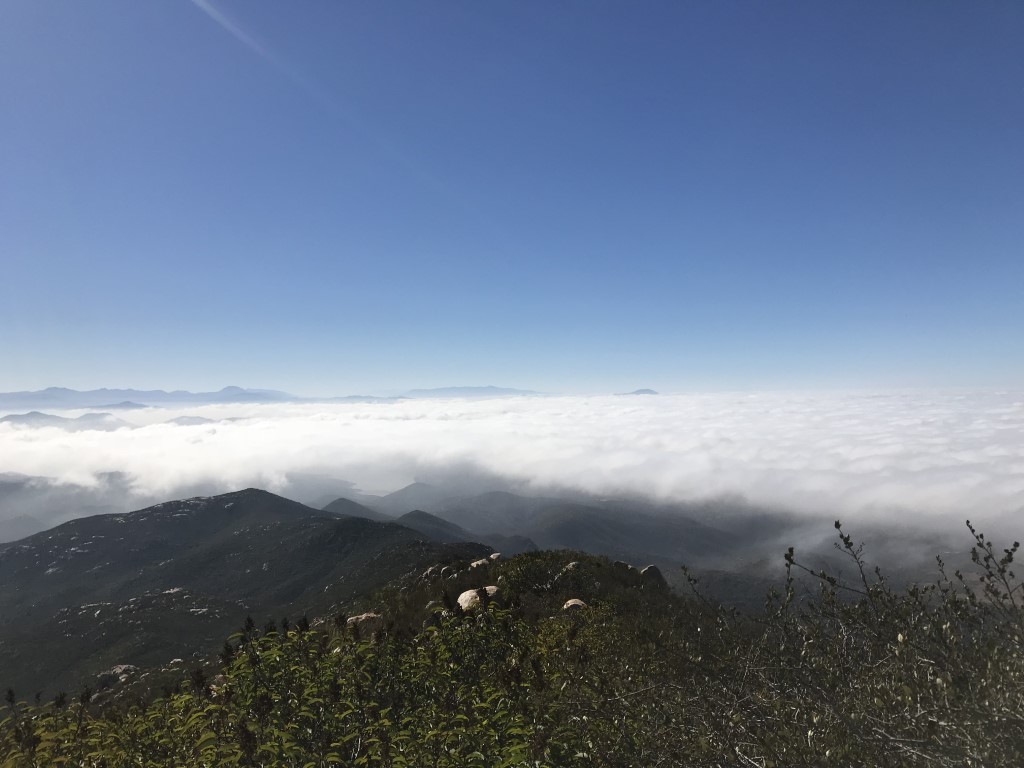
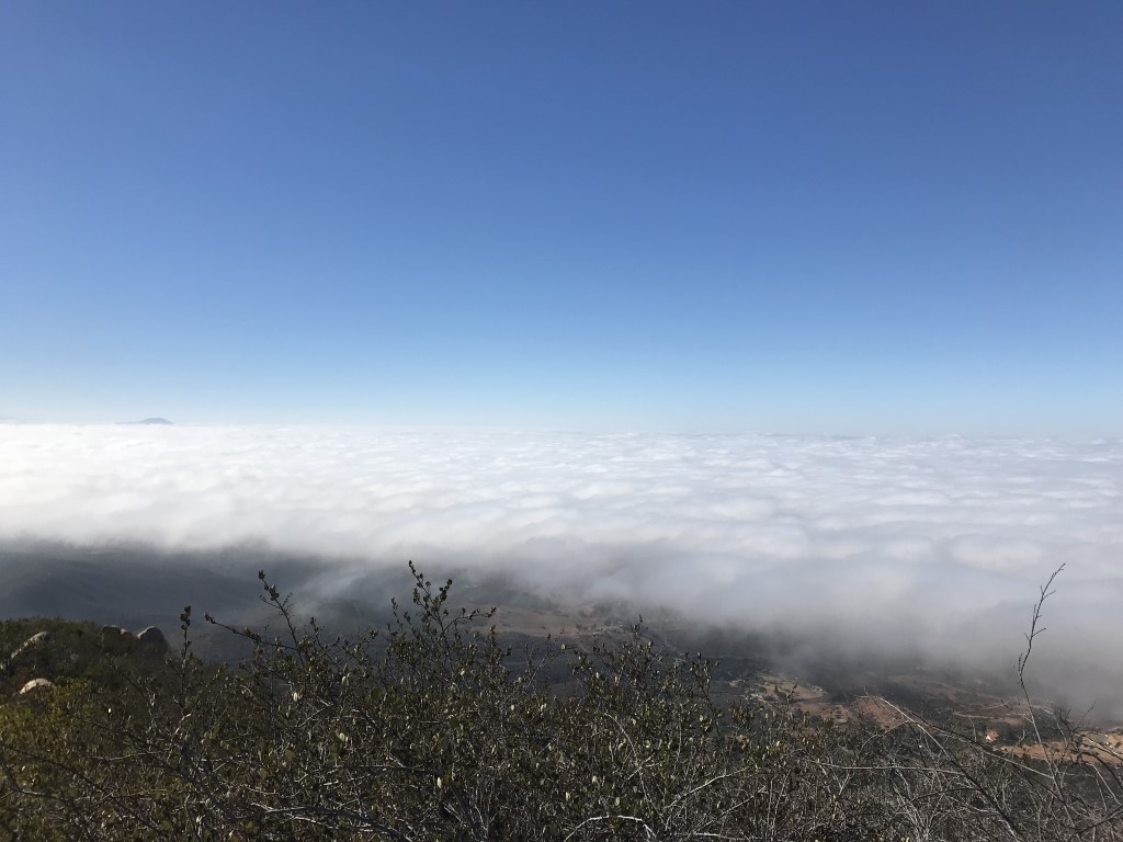
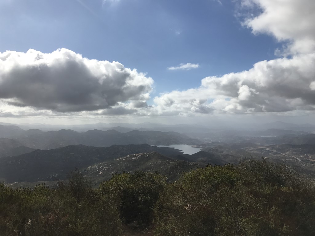
Iron Mountain

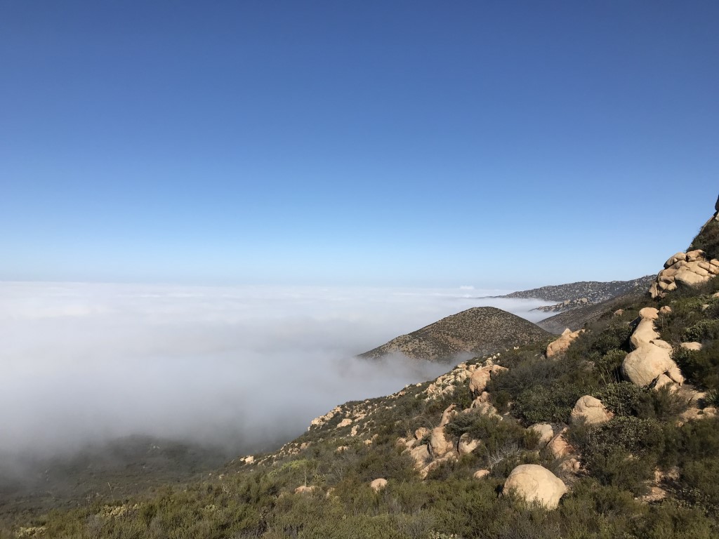
Cappie’s Scoop: I like hiking this trail very early morning or during sunset! Just be careful at night because there are a lot of rocks to jump over. Don’t forget your night gear! This is a very popular hike too so expect a lot of people to be there. Don’t hesitate to add YOUR scoop in the comments below!
Tips: Sometimes if you go early in the morning and it’s overcast, you may find yourselves above the clouds at the peak.
Directions: From I-15, take the Scripps Poway Pkwy exit. Head east on Scripps Poway Parkway for approximately 8.5 miles to Highway 67. Turn left (north) on Highway 67, the parking area will be on your right approximately 1.7 miles up Highway 67, right before the intersection with Poway Road.
| Mileage (round trip) | 6 |
| Difficulty | Moderate |
| Gain (in feet) | 1530 |
| Trailhead | 32.978441, -116.972752 |
| Hike Time (in hours) | 3-4 |
| Exposure | Sunny |
| Scenery | Mountain Views, Wildlife, Wildflowers |
| Facilities | Toilets in the parking lot. |
| Fees/Permits | None |
| More Info | http://hikingsdcounty.com/iron-mountain |
| Last Hiked | 9/22/2017, 10/13/2017, 6/18/2019 |
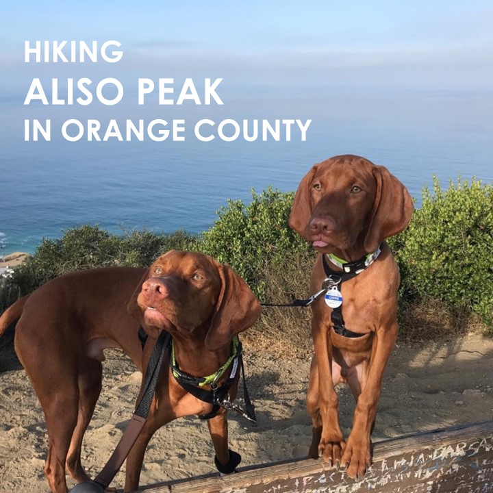
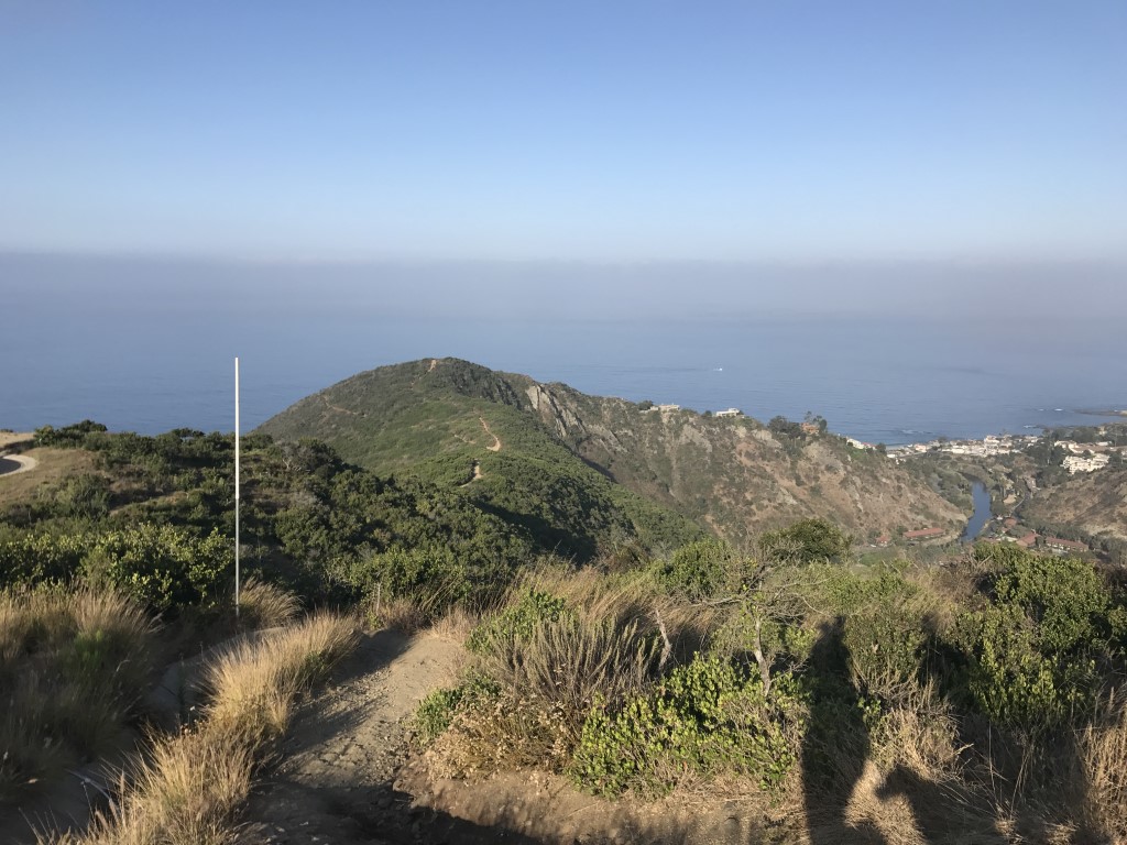
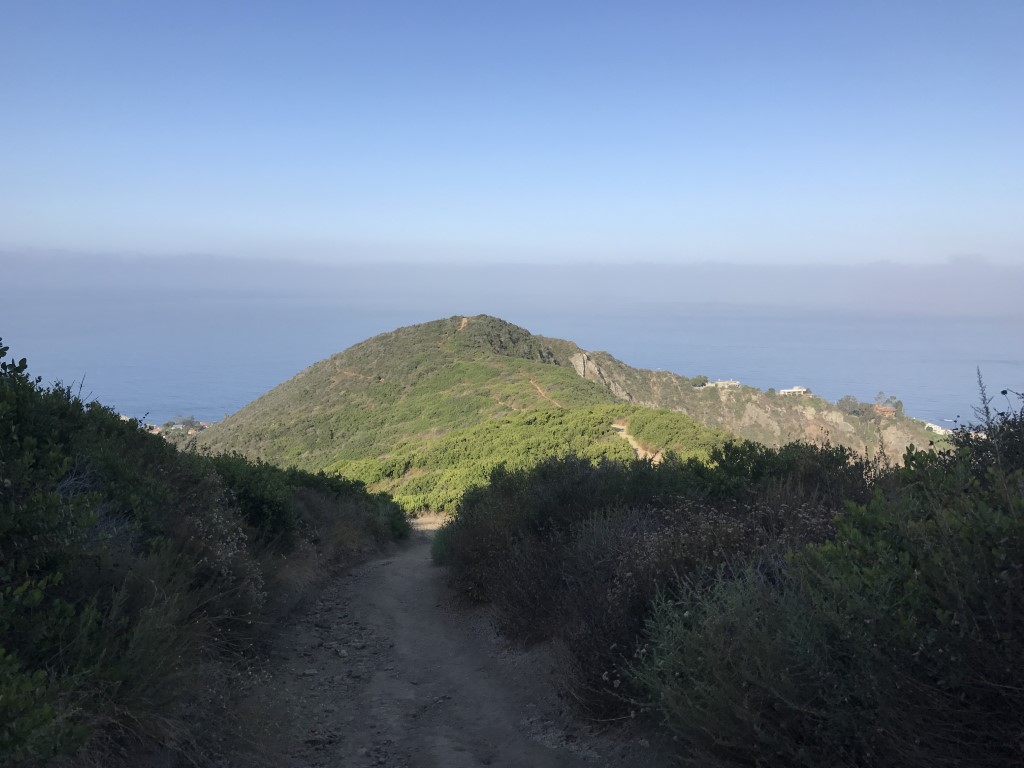
Aliso Peak
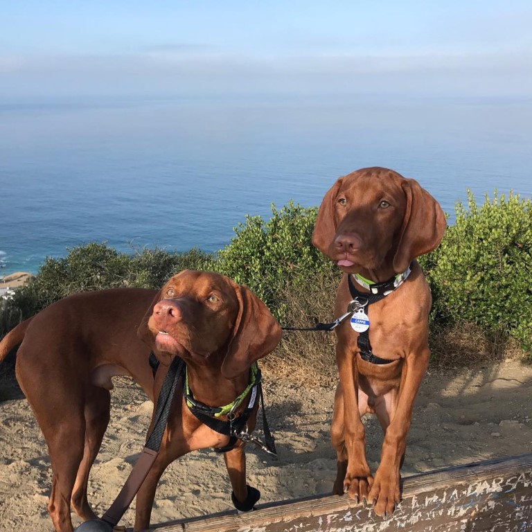
Cappie’s Scoop: This is one of the first hikes I ever did and I got to do it with my brother Mickey! I was only 4 months old when we found this short hike to an amazing view of the ocean! There were a couple of steep hills along the way but I showed mom that I could do it! After our hike, we stopped at Champagne French Bakery Café where I sat outside to have some victory treats with my brother. Don’t hesitate to add YOUR scoop in the comments below!
Tips: The Aliso Peak Trail is part of Aliso and Woods Canyon Wilderness Park. The park’s hours (since last hiked) are 7am-9pm March 1 through October 31, and 7am-6pm November 1 through February 28.
Directions: Can also use address 22739 Talavera Dr, Laguna Niguel, CA 92677. The entrance is at the west end of Seaview Park in Laguna Niguel. There is free street parking along Talavera Drive.
| Mileage (round trip) | 1.6 |
| Difficulty | Easy |
| Gain (in feet) | 533 |
| Trailhead | 33.512948, -117.732669 |
| Hike Time (in hours) | 1-2 |
| Exposure | Sunny |
| Scenery | Ocean Views |
| Facilities | Drinking fountains at the start of the trail. |
| Fees/Permits | None |
| More Info | https://socalhiker.net/hiking-to-aliso-peak; http://www.ocparks.com/parks/aliso |
| Last Hiked | 7/23/2017 |
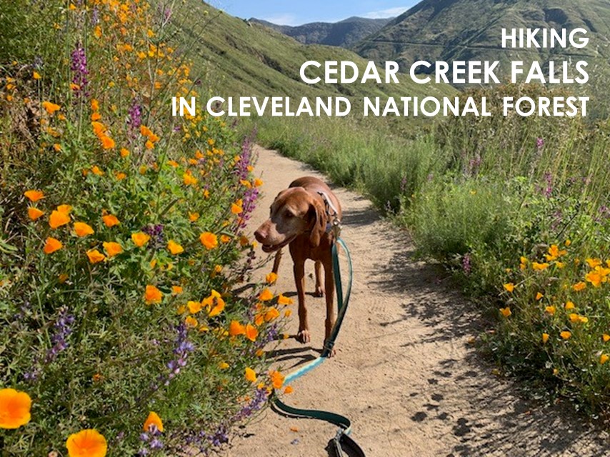
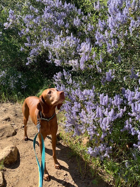
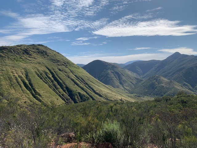
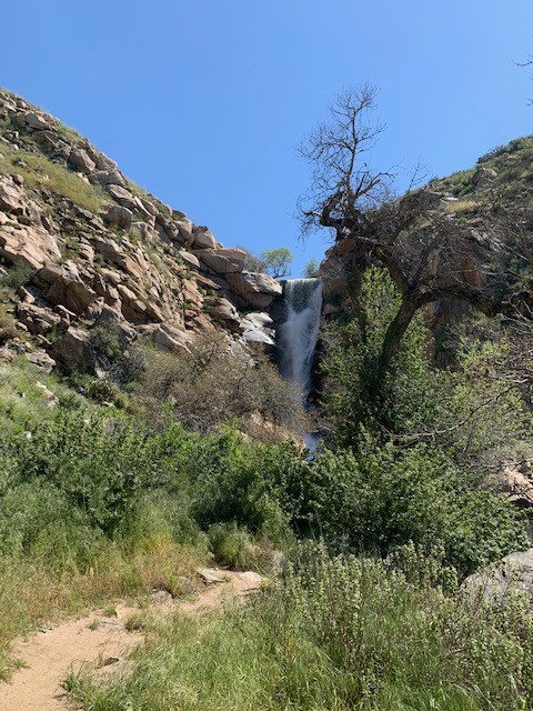
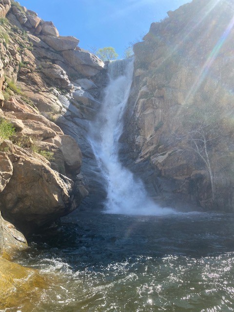
Cedar Creek Falls – Ramona
Cappie’s Scoop: The best time to do this hike is when it’s cool outside and maybe the clouds are out! If it’s hot, remember that you have to hike up the hill to get back to your car and that could be tough. Bring lots of water too and extra snacks for energy! Don’t hesitate to add YOUR scoop in the comments below!
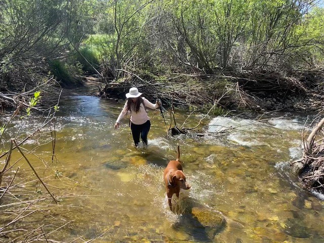
Tips: This hike can be a challenge when it’s hot because it’s all downhill to the falls and then all uphill on the way back. Be cautious if you go while it’s raining though because the trail can get a bit muddy and slippery. You can access the trail from either Julian or Ramona (described here) trailheads. In 2023, Southern California received an unprecedented amount of rain which created 4 water crossings on this trail to reach the falls. Always proceed with caution and if crossing appears unsafe, turn around and visit another time when the water levels are low enough that it’s safe to cross.
Directions: From Main St. in Ramona, take 10th Street to San Vicente Road. Follow San Vicente Road for approximately 6.5 miles, then turn left onto Ramona Oaks Road. Turn right onto Thornbrush Road, the trailhead will be at the end of the road.
| Mileage (round trip) | 6 |
| Difficulty | Moderate |
| Gain (in feet) | 1100 |
| Trailhead | 32.995748, -116.756218 |
| Hike Time (in hours) | 3-4 |
| Exposure | Mostly Sunny |
| Scenery | Waterfall, Mountain Views, Wildflowers |
| Facilities | Vault toilets and water faucet at trailhead. |
| Fees/Permits | Permit is $6.00. Each permit allows a maximum group of 5 people and they allow a total of 75 groups to enter each day. To get your permit, visit https://www.recreation.gov/permits/234735. You must bring a printed copy of your permit; digital copies on your cell phone will not be accepted. At times, they have been checking for it at the trailhead. |
| More Info | http://hikingsdcounty.com/cedar-creek-falls-via-ramona; http://hikingsdcounty.com/cedar-creek-falls-via-julian; https://www.fs.usda.gov/recarea/cleveland/recarea/?recid=80293 |
| Last Hiked | 5/30/2016, 4/7/2023 |