Bridge to Nowhere Trail
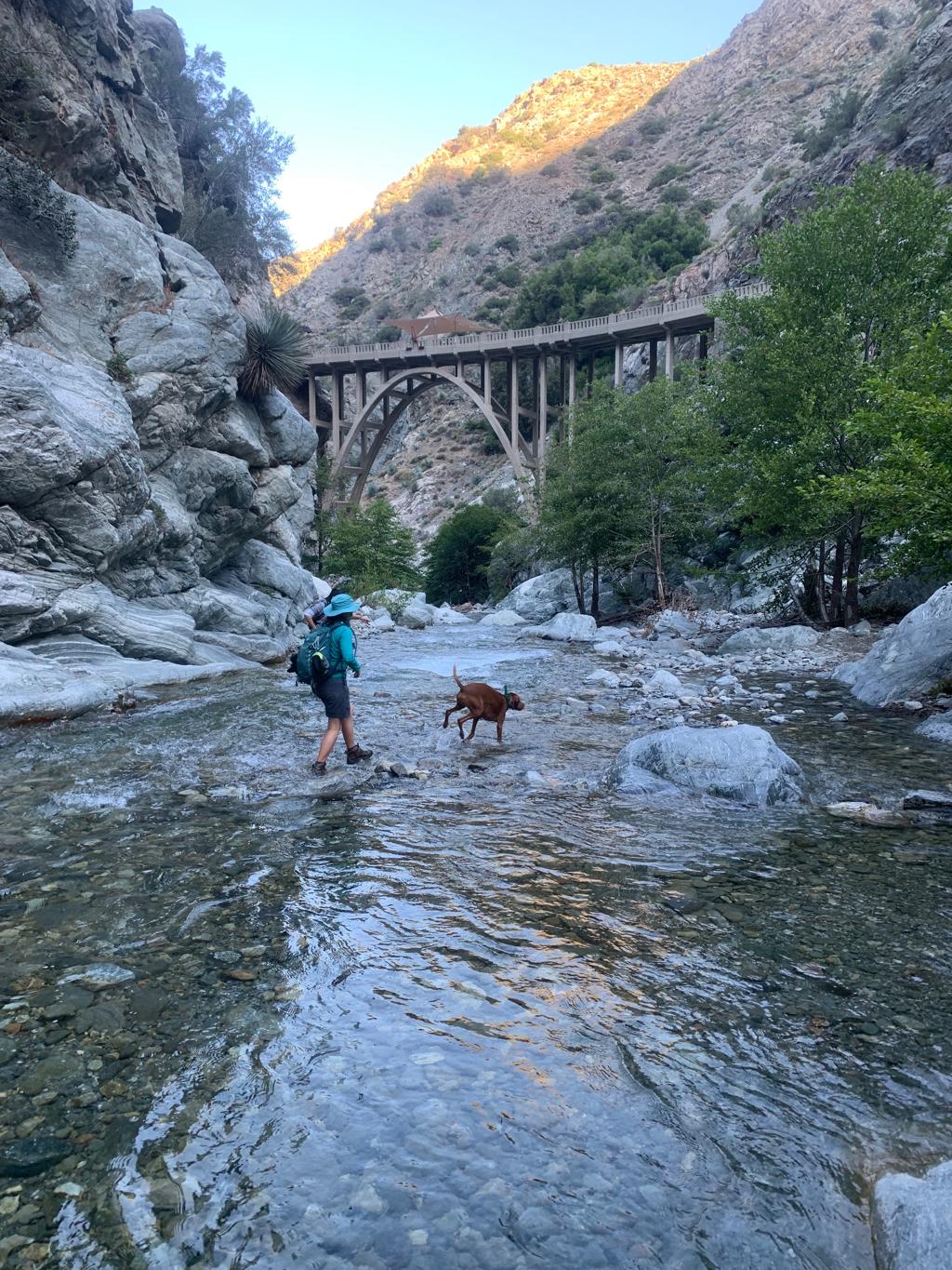
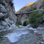
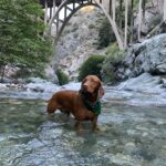
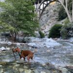
Cappie’s Scoop: I love the water and this hike had so much water, it was amazing! There are a bunch of creek crossings that we have to hike through to stay on the trail. Then we got to a bridge and we crossed it and hiked down to the water again. I saw lots of sticks floating in the water so I jumped in to save them! It was a lot of fun! Don’t hesitate to add YOUR scoop in the comments below!
Tips: There are lots of creek crossings, at least 7 of them. We wore our non-waterproof hiking boots and walked through every creek crossing with them on. Non-waterproof hiking boots will allow the water to drain out and dry faster than waterproof boots. You’re walking through the creek bed with rocks and so we don’t recommend going barefoot. For your dogs, if they have sensitive paws, you may want to put on some booties for the creek crossings but we wouldn’t recommend leaving them on for the entire hike because your dogs paws will get wet, soggy and rubbing/blisters could happen inside the booties. If your dog can go without them, that’s a better plan. Cappie didn’t wear booties and he did great.
Directions: From the 210, head towards State Rte 39 N/N Azusa Ave and continue driving north for about 11.6 miles. This road becomes San Gabriel Canyon Road. Then turn right onto E Fork Road and drive for 5.2 miles. E Fork Road turns into Camp Bonita Road and ends at the trailhead in about 0.9 miles.
| Mileage (round trip) | 10-11 |
| Difficulty | Moderate (Technical) |
| Gain (in feet) | 913 |
| Trailhead | 34.237108, -117.764981 |
| Hike Time (in hours) | 5 |
| Exposure | Mostly Sunny |
| Scenery | Mountain Views, Forest, Creek |
| Facilities | Toilets in the parking lot. |
| Fees/Permits | California Adventure Pass or Interagency Annual Pass/America the Beautiful Pass (National Parks Pass). |
| More Info | https://www.visitcalifornia.com/experience/bridge-nowhere; https://californiathroughmylens.com/2011/08/bridge-to-nowhere-azua-ca-photo; https://www.bungeeamerica.com |
| Last Hiked | 6/27/2020 |
