Eagle Rock

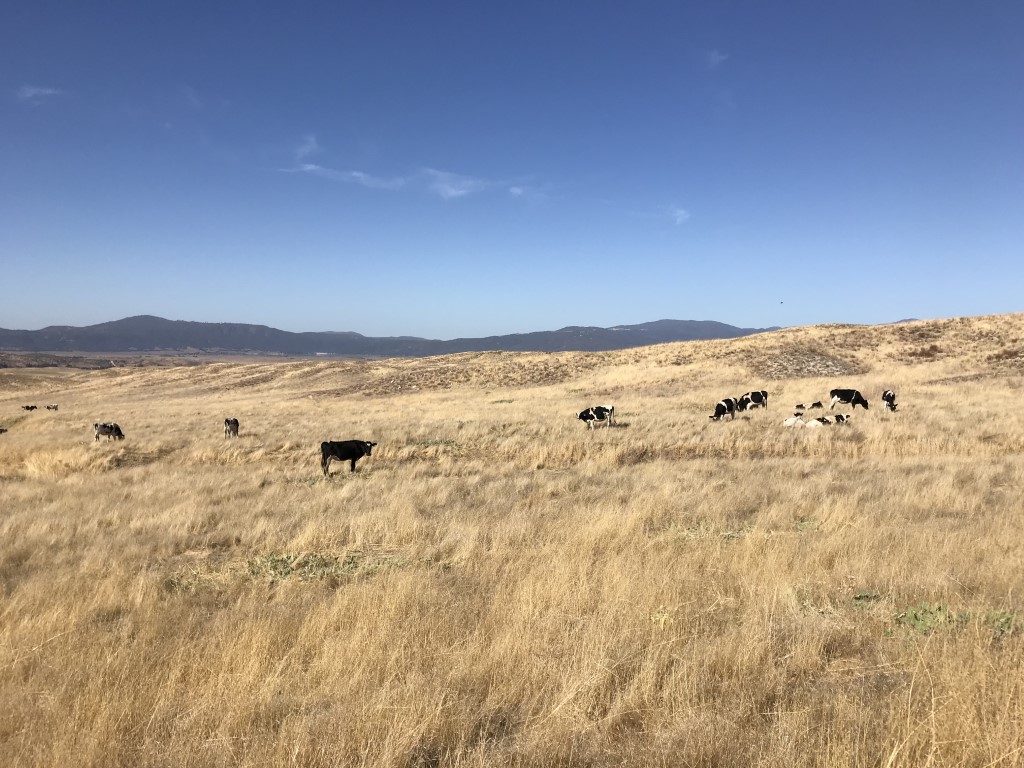
Cappie’s Scoop: I once hiked another trail called Eagle Peak and the whole time, I’m looking around for an eagle. No eagle. This time I was surprised to see some huge rocks on the trail that looked like an eagle! Finally, a bird dog on a hike to see a big bird! It’s really a surprise because you hike through some wooded areas, the trail then opens up to a big meadow with cows roaming around (they have big poops by the way), and then we get to a pile of rocks. But you have to walk around the rocks and stand in front of them to see the bird. We had our lunch on one of the rocks and then I told mom to get a good picture of me with the eagle. She did. Don’t hesitate to add YOUR scoop in the comments below!
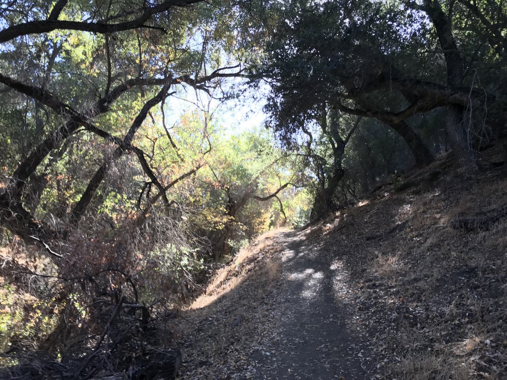
Tips: This hike travels along the PCT through oaks and rolling hills.
Directions: Can use address CAL FIRE Warner Springs Fire Station, 31049 CA-79, Warner Springs, CA 92086. OR take 67 N to downtown Ramona where it turns into Main Street and then 78 E. Continue on 78 E for approximately 14 miles, then turn left onto 79 N. Follow 79 N for approximately 13 miles to the Cal Fire Warner Springs Fire Station on the right. Park on the side of the road “opposite” the fire station, where there is a wide gravel shoulder.
| Mileage (round trip) | 6.5 |
| Difficulty | Moderate |
| Gain (in feet) | 988 |
| Trailhead | 33.273584, -116.644926 |
| Hike Time (in hours) | 3-4 |
| Exposure | Sunny |
| Scenery | Rock Formations, Wildlife |
| Facilities | None |
| Fees/Permits | None |
| More Info | http://hikingsdcounty.com/eagle-rock |
| Last Hiked | 12/30/2018 |