Engineer Mountain via Coal Bank Pass Trail

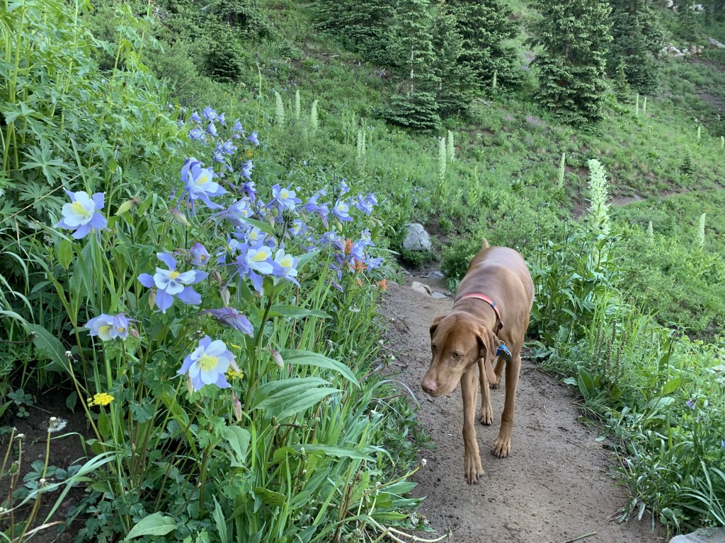
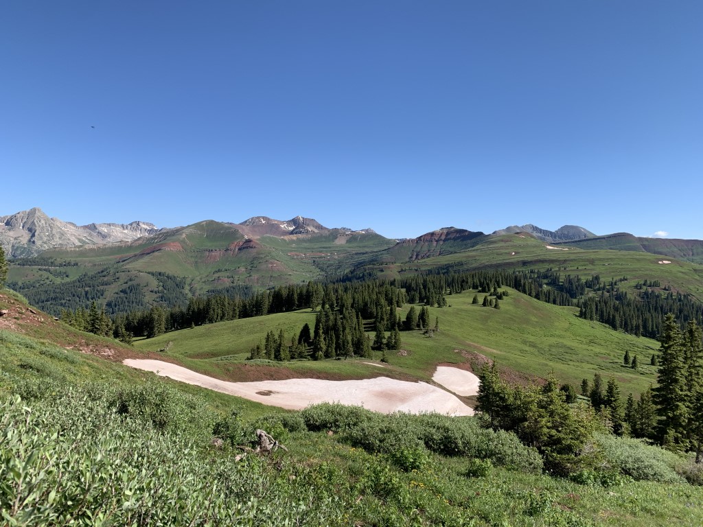
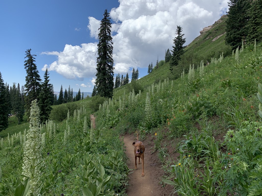
Cappie’s Scoop: You can hike this mountain from two different trails. The time I hiked this trail it was busting with lots of wildflowers. Mom kept stopping to take lots of pictures but I didn’t mind because everything smelled very good. Along the way, we found some streams for me to take a drink and lots of people had dogs so I was saying hello to everyone! We didn’t make it to the top because mom said it was very rocky and she was nervous I would like to stand on the edge which I do like to do – I need to get the best view! But we made it to “social rock” which was a perfect spot for saying hello to hoomans and other furry friends. Don’t hesitate to add YOUR scoop in the comments below!
Tips: There are a couple different trailheads to reach Engineer Mountain! See other post Engineer Mountain for a longer route. This trail is fantastic in the fall and during wildflower season!
Directions: From the town of Durango, head north on US-550 for about 33.8 miles and then turn left at an unmarked dirt road to find the trailhead parking area shortly down the road on your right. The left turn is very soon after you pass the rest area with bathrooms on your right.
| Mileage (round trip) | 7 |
| Difficulty | Strenuous |
| Gain (in feet) | 2300 |
| Trailhead | 37.699167, -107.779030 |
| Hike Time (in hours) | 5-6 |
| Exposure | Sunny and Shady |
| Scenery | Mountain Views, Forest, Wildflowers, Creek |
| Facilities | None at the trailhead but across the street are vault toilets in the parking lot. |
| Fees/Permits | None |
| More Info | https://rootsrated.com/durango-co/hiking/engineer-mountain-hiking; https://www.fs.usda.gov/recarea/sanjuan/recreation/recarea/?recid=42900 |
| Last Hiked | 7/4/2021 |