Falls Creek Archaeological Area

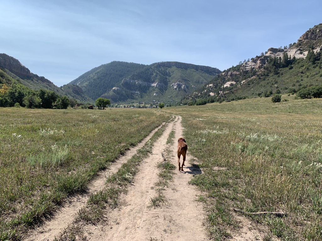
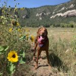
Cappie’s Scoop: So much space to zooom but mom said we had to stay on the trail and for a good reason. There were hoomans on bikes and on horses so it’s good that I stayed close to mom. It was very sunny out and I remember finding a very good tree to stand under for some shade. I think mom and I should come back here when it’s snowing because I could run very far and in big circles in this big area! Don’t hesitate to add YOUR scoop in the comments below!
Tips: This 1,500 acre area was designated to preserve archaeological sites associated with the basketmaker culture. Please leave all artifacts and fossils where you find them, and leave structures intact. Note some of the ruins are closed to the public. There are a number of trails in this area that criss-cross and connect so you can make your own loop. Mountain bikers and horses also use these trails so keep your eyes open especially if your dog is off-leash. We agree with rootsrated.com that this would make a great area to snowshoe or cross-country ski!
Directions: From the town of Durango, head north on Main Street and turn left on W 25th Street which becomes Junction Street. Once Junction Street turns into Junction Creek Rd/CR 204, take it for almost 2 miles and then turn right onto CR 205. After another 2.5 miles, you’ll see a small dirt parking lot next to several large boulders and a sign for the Falls Creek Archaeological Area. You can park here, or continue up the road to several other small parking areas.
| Mileage (round trip) | 6+ |
| Difficulty | Easy |
| Gain (in feet) | Negligible |
| Trailhead | 37.342256, -107.867283 |
| Hike Time (in hours) | 2-3 |
| Exposure | Sunny |
| Scenery | Mountain Views, Forest, Wildflowers, Meadow |
| Facilities | None |
| Fees/Permits | None |
| More Info | https://rootsrated.com/durango-co/hiking/falls-creek-hiking; https://coloradoencyclopedia.org/article/falls-creek-rock-shelters-archaeological-site |
| Last Hiked | 9/6/2021 |


