Lake Sabrina to Emerald Lakes
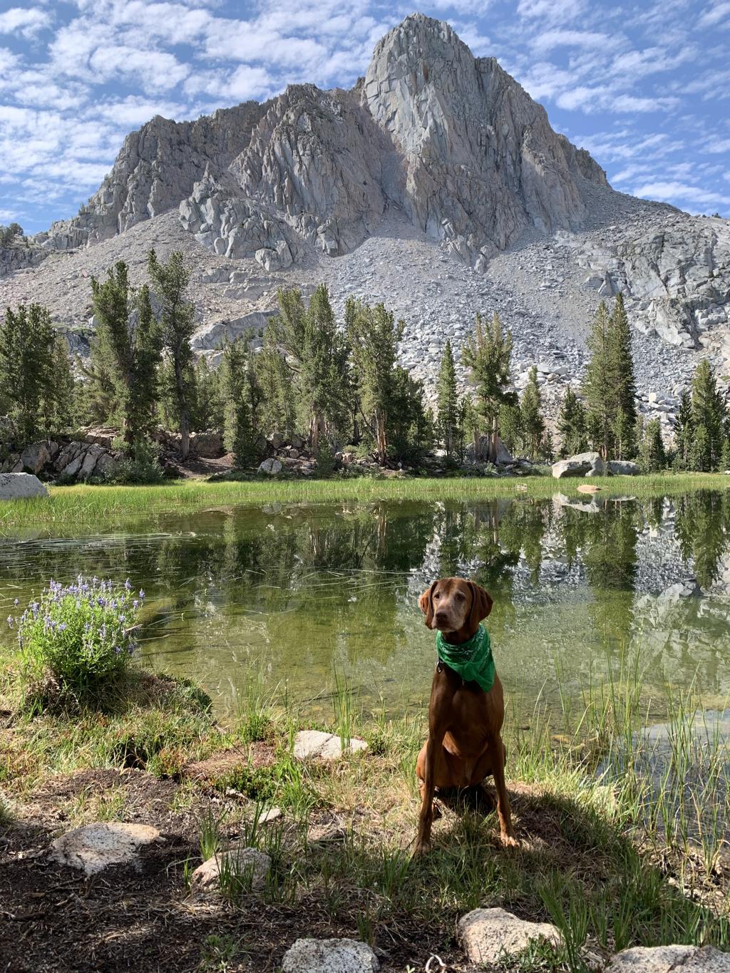
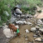
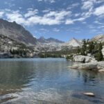
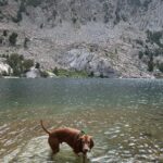
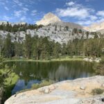
Cappie’s Scoop: This trail has a lot of big rocks that I can climb on to see a view of Lake Sabrina! I wanted to swim in the lake but mom said we’re hiking to another lake and I would be able to swim there. Along the trail, we passed a waterfall that covered the trail. I walked in the water to cross but mom went rock hopping. When we got to Blue Lake, I told mom it was swimming time! It was great! The water was cool and there were even spots to camp. Then we kept going to see more lakes. I can’t wait to come back and stay the night in a tent so I can swim a few times. Don’t hesitate to add YOUR scoop in the comments below!
Tips: We thought Lake Sabrina was beautiful and then you continue hiking and you reach Blue Lake, also equally as gorgeous! About halfway along Blue Lake’s western shore, you will head west on the Dingleberry Lake trail. You will see a junction sign for this turnoff. The other option is to head south to reach Donkey Lake and the Baboon Lakes. There are so many lakes in this area, we can’t wait to see them all but it will have to be a backpacking trip!
Directions: From the town of Bishop, head west on CA-168 for 18 miles. Continue straight for another 0.4 miles on Lake Sabrina Road. The trailhead will be on your left and you can park on the side of the road. This road is closed during the winter.
| Mileage (round trip) | 7.2 |
| Difficulty | Strenuous |
| Gain (in feet) | 1721 |
| Trailhead | 37.213582, -118.610107 |
| Hike Time (in hours) | 4-5 |
| Exposure | Sunny and Shady |
| Scenery | Mountain Views, Forest, Alpine Lake Views, Waterfalls |
| Facilities | None |
| Fees/Permits | None |
| More Info | https://modernhiker.com/hike/hike-sabrina-basin-to-emerald-lakes |
| Last Hiked | 7/30/2022 |
