Rim Trail
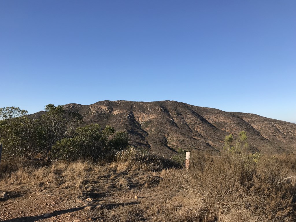
Cappie’s Scoop: On the Rim Trail, you’re supposed to be able to see all 5 Mission Trail Peaks but I always forget to bring a map. So furiends, have a map handy if you want to try and pick them out. This is a good one, the Mission Trails Regional Park Trail Map. Don’t hesitate to add YOUR scoop in the comments below!
Tips: None
Directions: Can use address 4198 Colina Dorada Dr, San Diego, CA 92124. Or from I-15 take the Tierrasanta Blvd exit. Head east on Tierrasanta Blvd for approximately 2.9 miles (almost to the end of the road), then turn left onto Colina Dorada Dr. Follow Colina Dorada for approximately 1 mile to the trailhead at the intersection of Colina Dorada Drive and Calle De Vida. Park on the street.
| Mileage (round trip) | 4.1 |
| Difficulty | Moderate |
| Gain (in feet) | 568 |
| Trailhead | 32.820744, -117.077229 |
| Hike Time (in hours) | 3 |
| Exposure | Sunny |
| Scenery | Mountain Views |
| Facilities | None |
| Fees/Permits | None |
| More Info | http://hikingsdcounty.com/rim-trail-mission-trails-regional-park; https://mtrp.org |
| Last Hiked | 6/27/2018 |