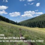
West Baldy Trail #94
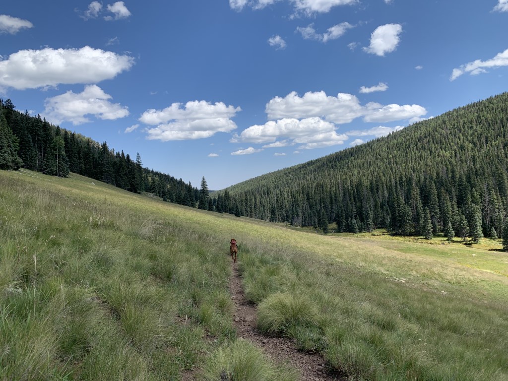
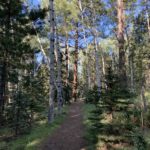
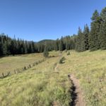
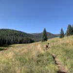
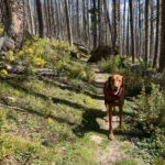
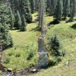
Cappie’s Scoop: We drove for a while and then we arrived on a dirt road with lots of trees and grass. Mom said we’re going to car camp and then wake up to do a fun hike in the morning. It was a very cool hike! Lots of trees, grass, water and hardly any other hoomans. You can also do a loop hike too which means you get to see a lot of different things along the way. Mom says this area gets a lot of snow in the winter. That would be a lot of fun to see and zoom through! Don’t hesitate to add YOUR scoop in the comments below!
Tips: The Mount Baldy Wilderness is one of our nation’s smallest wilderness areas at 7,079 acres but one of the most beautiful too! In addition to hiking this trail, you can also backpack it and camp (limited to a maximum of 6 persons in one group per site). You can do an out and back hike (like we did) OR you can do a loop which is pretty cool. You will reach the East/West Baldy trailhead junction after 8 miles of hiking, continue towards the East Baldy Trailhead but be sure to pick up the crossover/connector trail bringing you back to the West Baldy trail where you’ve probably parked your car. It extends your hike to be about 19 miles RT. Now we haven’t even talked about Mount Baldy yet. You can take this trail all the way to the top of Mount Baldy, the second highest mountain in Arizona with some debate about the highest point – the ridge isn’t Baldy Peak (11,403 feet) but an unnamed area (11,420 feet) on Forest Service land to the north. But here’s the scoop on the peak – once you leave the trail at the East/West Baldy junction sign and starting hiking towards the peak, you’re on a reservation. Yes, Baldy Peak is located on While Mountain Apache Tribal lands and is closed to public entry UNLESS you’ve received permission. We’ve read the way to obtain permission is to write a polite letter declaring the day, the purpose, location of your intended travel, along with your name and other information. We’d recommend calling them and confirming what is needed. We added a link to their site. Until you have permission, please respect their customs and laws and do not travel to the top.
Directions: From the town of Greer, head north on Main Street/Co Rd 1120/AZ-373 and turn left onto Fs 87/Northwoods Rd. In 5.9 miles, turn left onto AZ-273 S. Go about 0.6 miles and turn right into the trailhead parking lot. Keep in mind that AZ-273 is closed in the winter.
| Mileage (round trip) | 16 |
| Difficulty | Moderate |
| Gain (in feet) | 2132 |
| Trailhead | 33.965049, -109.500654 |
| Hike Time (in hours) | 6-7 |
| Exposure | Sunny and Shady |
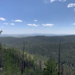
| Scenery | Mountain Views, Forest, Creek, Wildlife, Wildflowers |
| Facilities | Toilets at the trailhead. |
| Fees/Permits | None |
| More Info | https://www.fs.usda.gov/recarea/asnf/recreation/recarea/?recid=45133&actid=51; http://whitemountainapache.org |
| Last Hiked | 9/12/2021 |

