Abineau – Bear Jaw Loop – Winter
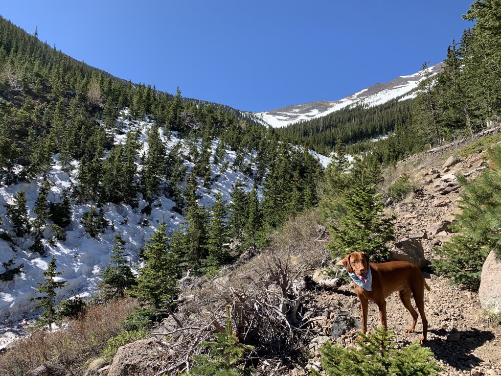
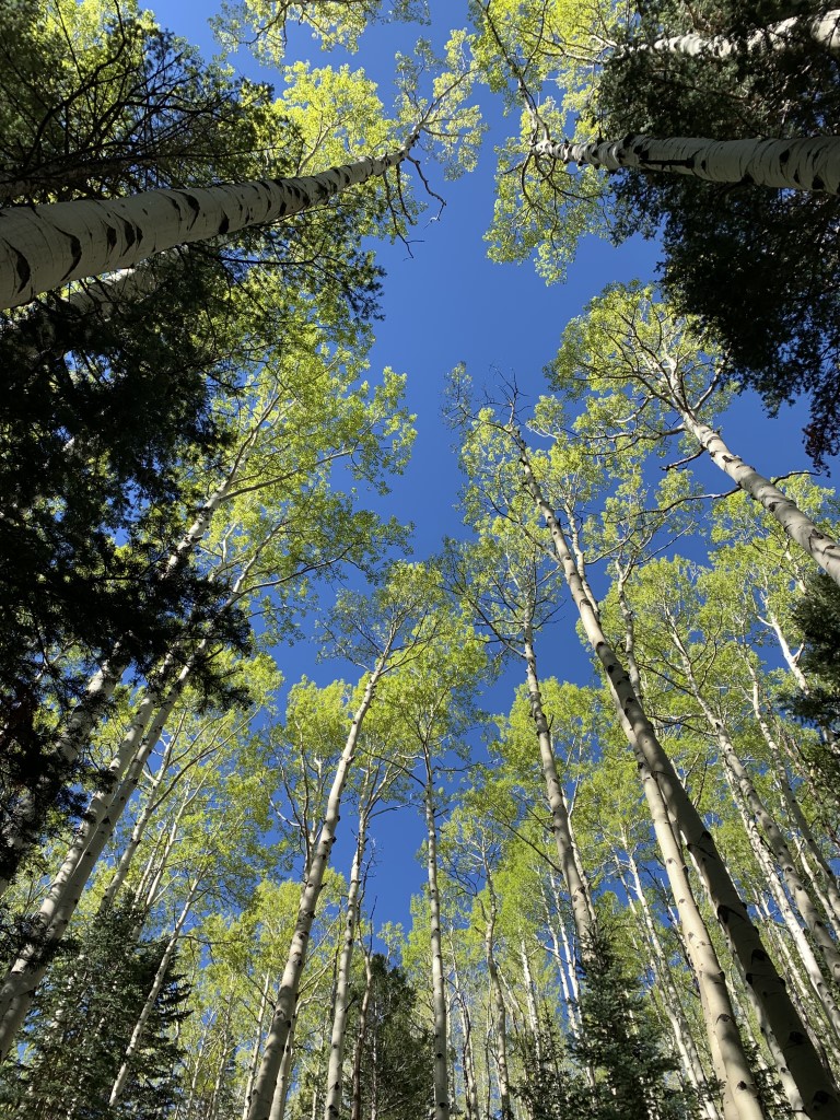
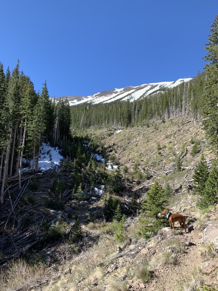
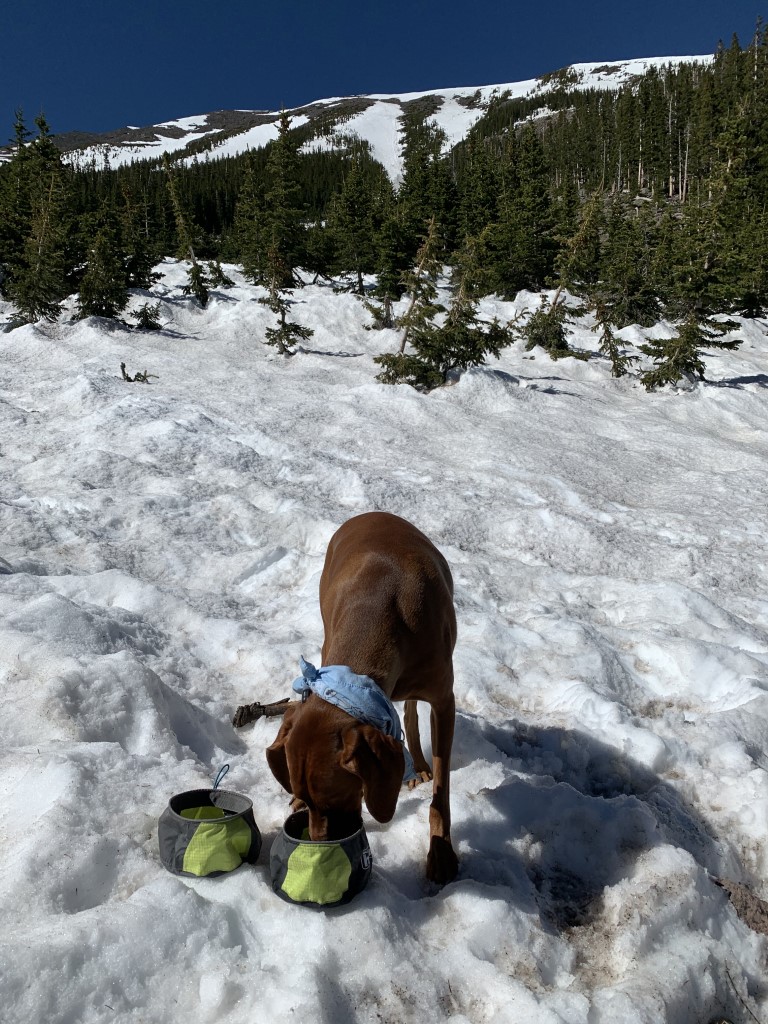
Cappie’s Scoop: Mom read that once we do this hike, it will be our favorite in the area. She was right! I can’t wait to come back again in the fall to see what it looks like. But for now, I had so much fun playing in the snow at 10,300 ft high! There was also no one else on the trail when we hiked it so we had the whole trail to ourselves. Mom and I decided to hike counter-clockwise (Abineau Trail first) and get to the snow quicker. Clockwise takes you on Bear Jaw Trail. It was only a little more than 2 miles and we saw it, the view of the highest peak in Arizona, Humphrey’s! We crossed over towards Bear Jaw Trail and headed down on Waterline Road first before turning left to continue on Bear Jaw. The aspen trees were everywhere! Mom kept stopping to take pictures but they all looked the same to me, big white sticks with green leaves! I’m sure it looks amazing in the fall and we’ll probably be back to see it … if mom has her way! Don’t hesitate to add YOUR scoop in the comments below!
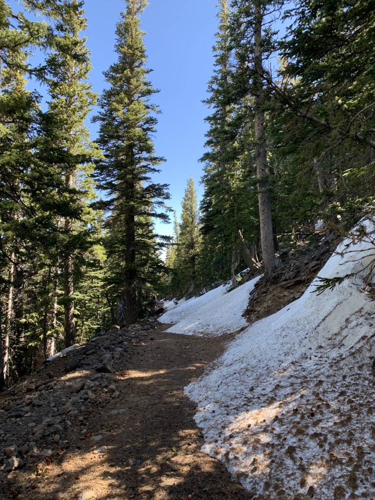
Tips: Since this loop trail reaches an elevation of over 10,000, you may have to wait until the snow clears to be able to safely complete the loop. This is a great hike after the snow clears (or maybe still a little bit of snow to play in) and also a great fall hike too with the tons of aspen trees on the trail.
Directions: From Flagstaff, you can reach this trail from two different highways – either 180N or US-89N. Either way, you’ll be driving on a fire road to get to the trailhead. We didn’t need 4WD or high clearance although high clearance is nice. 1) We chose to take 180N because we wanted the least amount of driving time on the fire road. Take 180N for about 18.7 miles. Turn right onto FR 151. After 1.2 miles, continue straight onto FR 418. In about 3 miles, turn right to take the road to the trailhead. There is a sign for the trail. 2) Or take US-89N for 15.7 miles to Forest Road 420, which is directly across from the turnoff to Sunset Crater Volcano National Monument. Turn left onto FR 420 and continue about a half-mile to Forest Road 552. Turn right onto FR 552 and continue 1 mile to Forest Road 418. Turn right onto FR 418 and continue 8.1 miles to Forest Road 9123J. Turn left onto FR 9123J and continue 0.5 miles to the trailhead.
| Mileage (round trip) | 7 |
| Difficulty | Moderately Strenuous |
| Gain (in feet) | 2100 |
| Trailhead | 35.386737, -111.677171 |
| Hike Time (in hours) | 3-4 |
| Exposure | Mostly Shady |
| Scenery | Mountain Views, Forest, Wildflowers |
| Facilities | None |
| Fees/Permits | None |
| More Info | https://www.fs.usda.gov/recarea/coconino/recarea/?recid=55058; https://www.arizonahighways.com/explore/hiking/abineau-bear-jaw-loop; https://www.azutopia.com/moderate-hikes/bear-jaw-abineau-trail-loop |
| Last Hiked | 5/25/2020 |