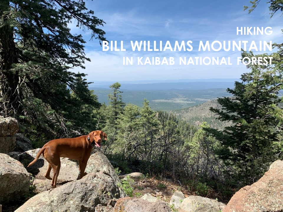
Bill Williams Mountain
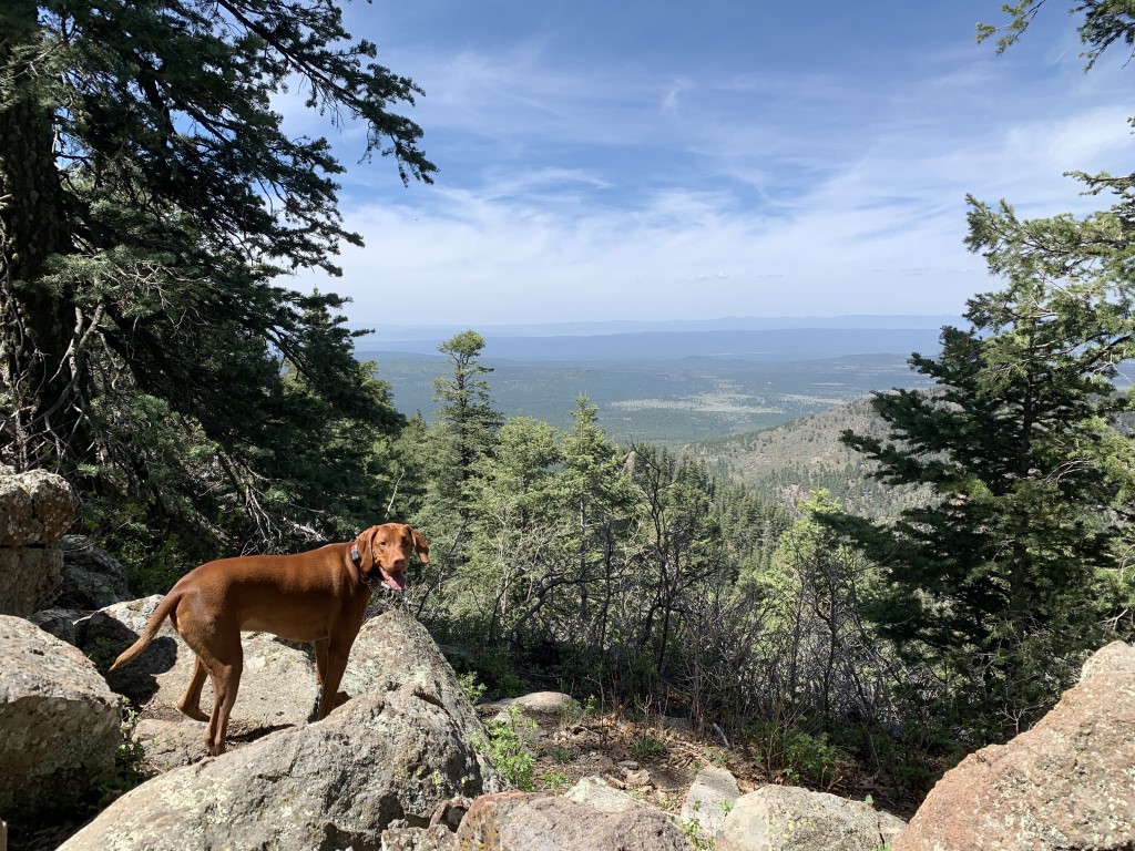
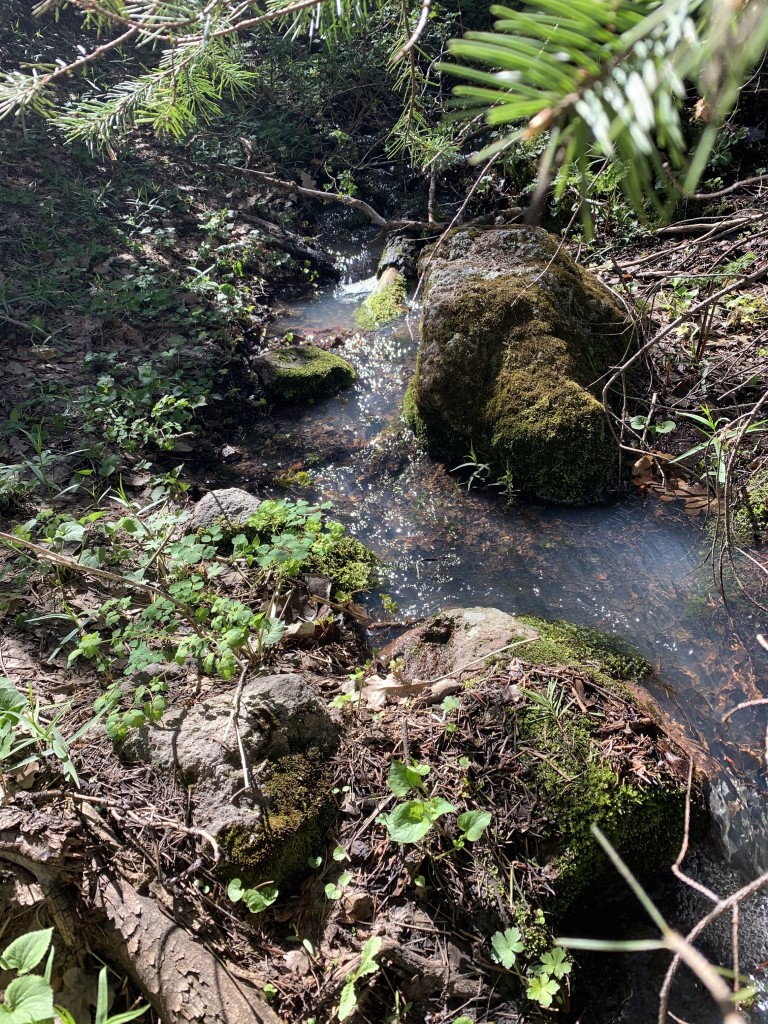
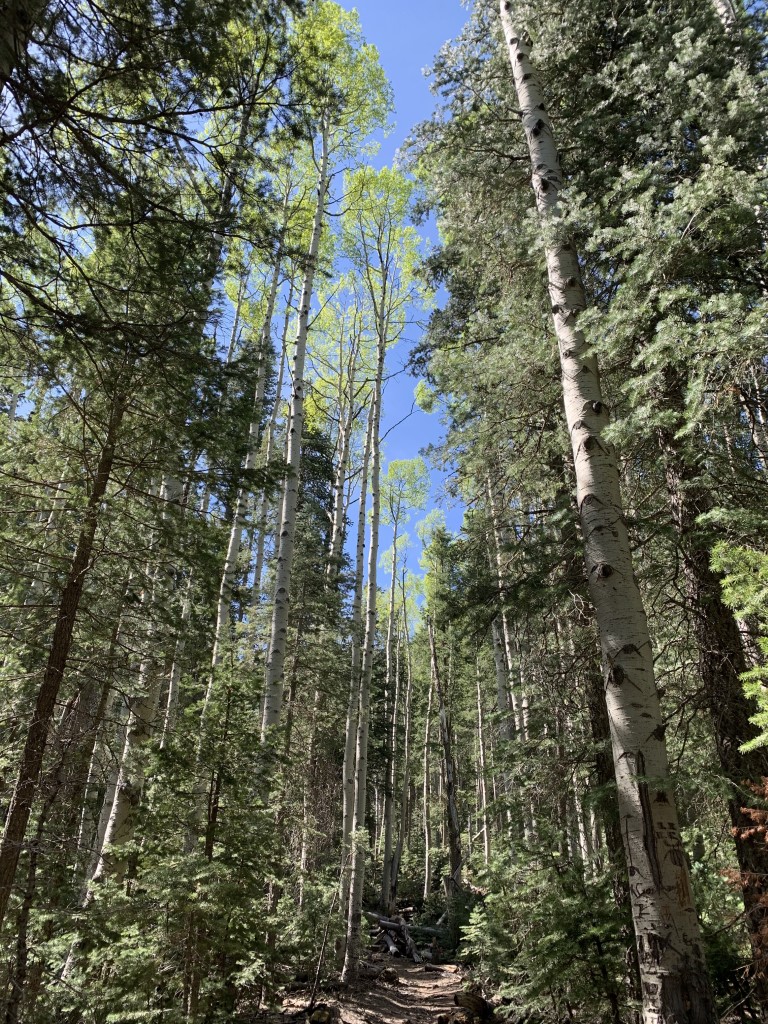
Cappie’s Scoop: Wow, mom finally found a trail with LOTS of shade! I got to do a lot of tree hopping because there were a few trees down blocking the trail. We passed a small creek on the way to the top and I stopped to soak my paws. Ahhh, it felt good! Once we found the top, I let out a huge sigh, another lookout tower that I can’t climb up inside. Mom sure does have a knack for finding lookout towers! Mom read some history on it and then she said that we’re standing on the oldest of the extinct volcanoes in Flagstaff, six million years old. Now she tells me. Well it gave us a great view of the area, thank you hot lava! Don’t hesitate to add YOUR scoop in the comments below!
Tips: None
Directions: From Flagstaff, head west on Rte 66 and take 40 West. Go about 29 miles and take exit 161 for Golf Course Dr., last exit for the town of Williams. At the end of the offramp take a left onto Rte 66, then take your next possible right onto Frontage Road. Go half a mile then make a left onto S Clover Rd. just after the sign with a ranger station icon. Go a quarter mile down this road and as it curves left, the trailhead parking will be on your right side.
| Mileage (round trip) | 7.3 |
| Difficulty | Moderately Strenuous |
| Gain (in feet) | 2250 |
| Trailhead | 35.237591, -112.214848 |
| Hike Time (in hours) | 3-4 |
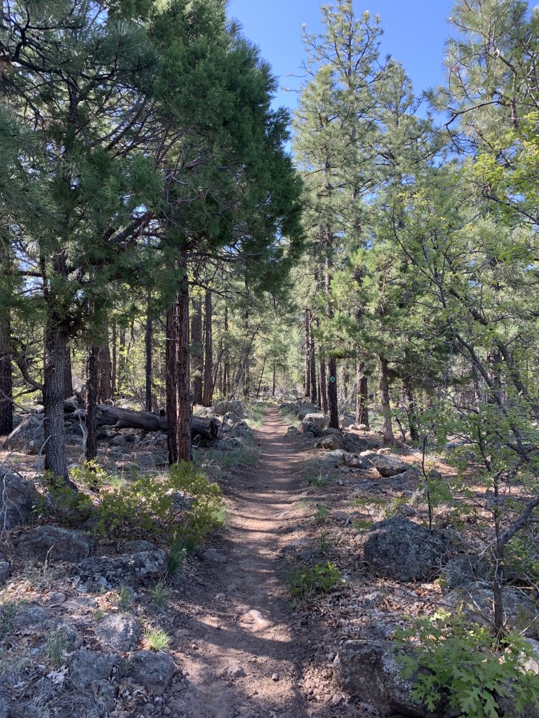
| Exposure | Mostly Shady |
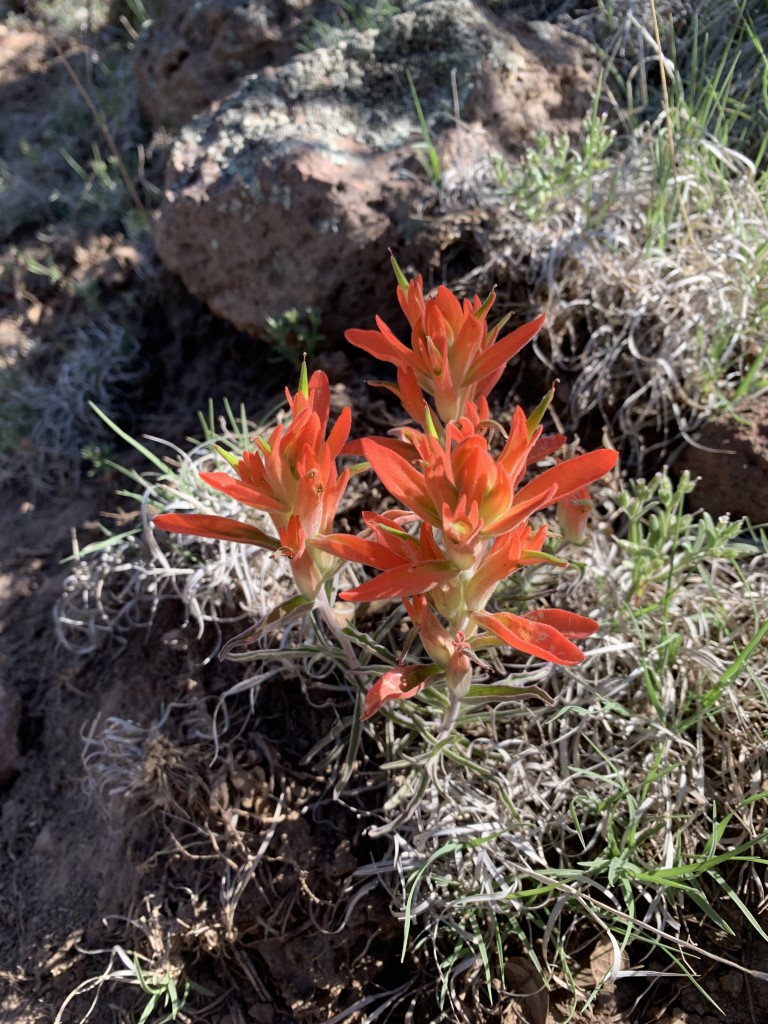
| Scenery | Mountain Views, Forest, Wildflowers |
| Facilities | Toilets in parking area. |
| Fees/Permits | None |
| More Info | https://socalhiker.net/hiking-bill-williams-mountain; https://www.arizonahighways.com/explore/hiking/bill-williams-trail |
| Last Hiked | 5/9/2020 |