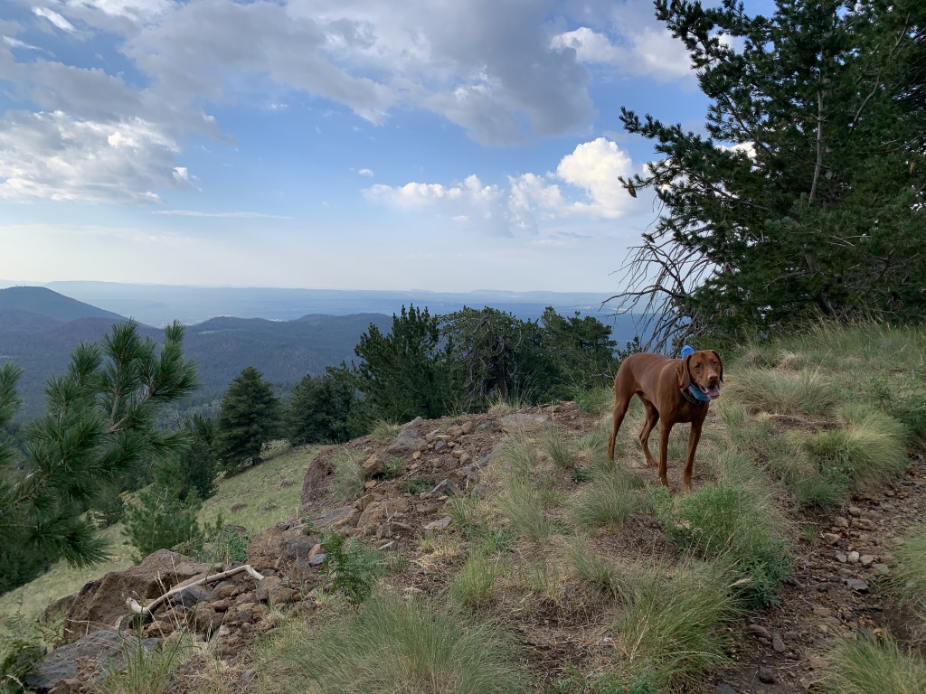
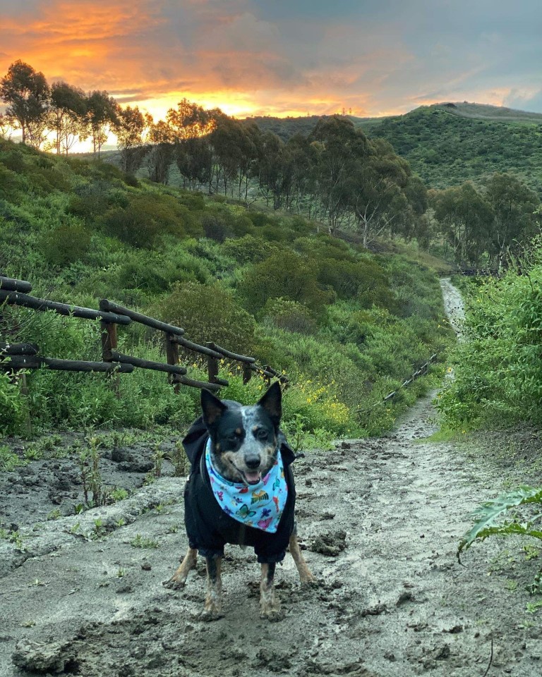
Pa’San Ridge Trail
King & Sam’s Scoop: The area is managed by the Bureau of Land Management. There are many trails around this area to be hiked or mountain biked. That being said, you can make this adventure as short or long as you want. Beware though, since it is at a lower elevation, it can get really hot! Make sure to bring adequate amounts of water for both you and your pup. We have hiked and biked this one numerous times. The terrain can vary from singletrack to fire road to very rocky. There is a bridge that’s not too far from the start that will provide you with nice photo opportunities and good views of the river.
| Difficulty | Moderate |
| Trailhead | 37.082882, -119.554011 |
| Follow Us! | @kingandsamexplore |
Goat Mountain Trail
King & Sam’s Scoop: This trail is located on the Sierra National Forest near Bass Lake, CA. Popular among the mountain bikers and hikers, it can be around a 10 mile round trip depending on the route you take. There is some good elevation gain to be expected from this one. We have mountain biked this trail, and have to say that it was a blast! The trail can vary from fire road to single track, shaded and unshaded, and can also get pretty warm depending on the time of year. Take plenty of water and be prepared to have some fun!
| Mileage (round trip) | 10 |
| Difficulty | Moderate |
| Gain (in feet) | 1620 |
| Trailhead | 37.30942, -119.57787 |
| Follow Us! | @kingandsamexplore |

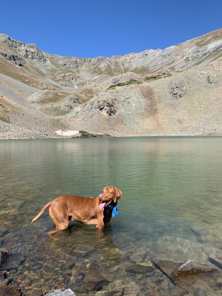
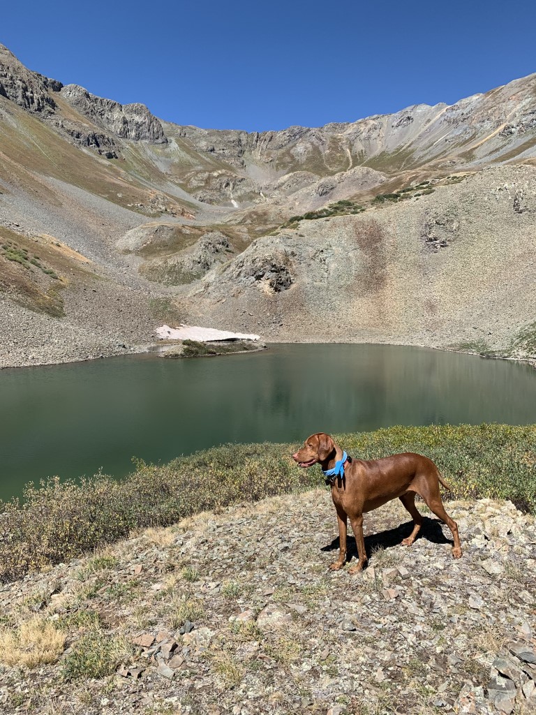
Hematite Lake
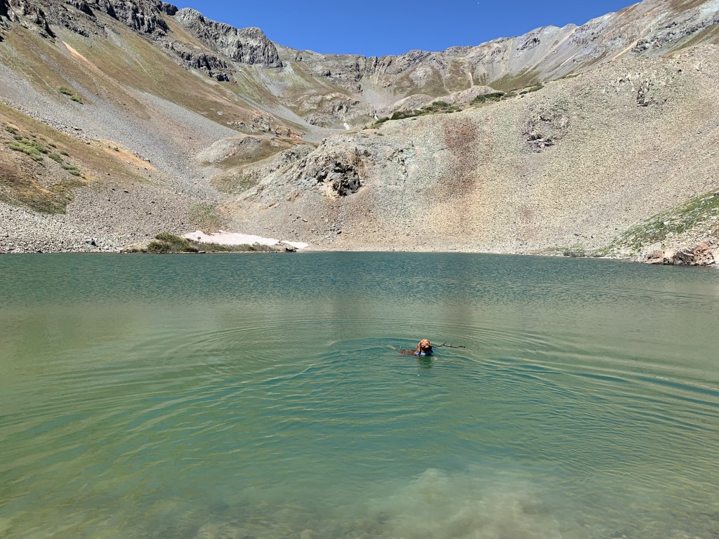
Cappie’s Scoop: One word for this hike – steep! Whew, you go up and up which isn’t the tough part. It’s the going down. I thought mom was going to slide down on her butt which would’ve been fun to watch. If you can make it to the top, it’s worth it. There’s a cool lake and I got to swim around in it! Be careful on the way down and enjoy the view. Don’t hesitate to add YOUR scoop in the comments below!
Tips: Never underestimate a hike based on mileage. This hike kicked our butt! It’s all straight up the mountain gaining a lot of elevation in a short time. But the lake and views are worth it! Take your time going up and take even more time coming down. To be honest, going downhill was harder than going up.
Directions: From the town of Silverton, head towards and turn right onto Co Rd 2. In about 3.7 miles, the trail will be on your left. There is no established trailhead. Park on the side of the dirt road.
| Mileage (round trip) | 4 |
| Difficulty | Strenuous |
| Gain (in feet) | 1942 |
| Trailhead | 37.833418, -107.601137 |
| Hike Time (in hours) | 3-4 |
| Exposure | Sunny |
| Scenery | Mountain Views, Alpine Lake Views |
| Facilities | None |
| Fees/Permits | None |
| More Info | https://www.durangoherald.com/articles/hematite-basin-lake-flowers-and-peaks |
| Last Hiked | 9/4/2020 |


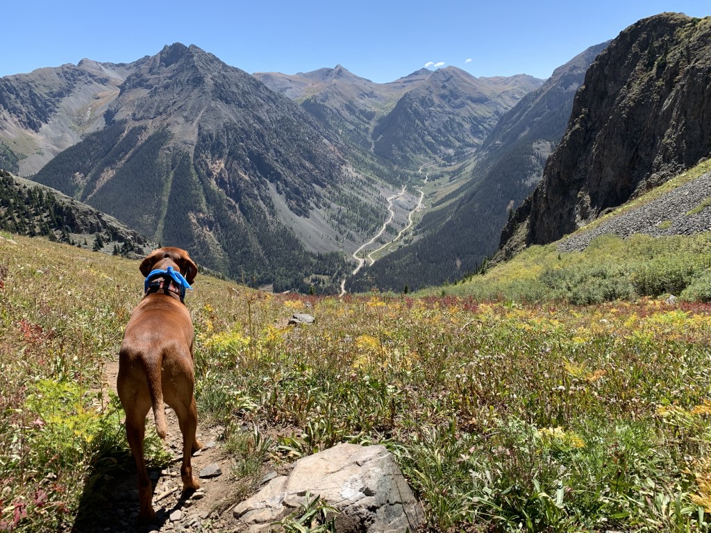
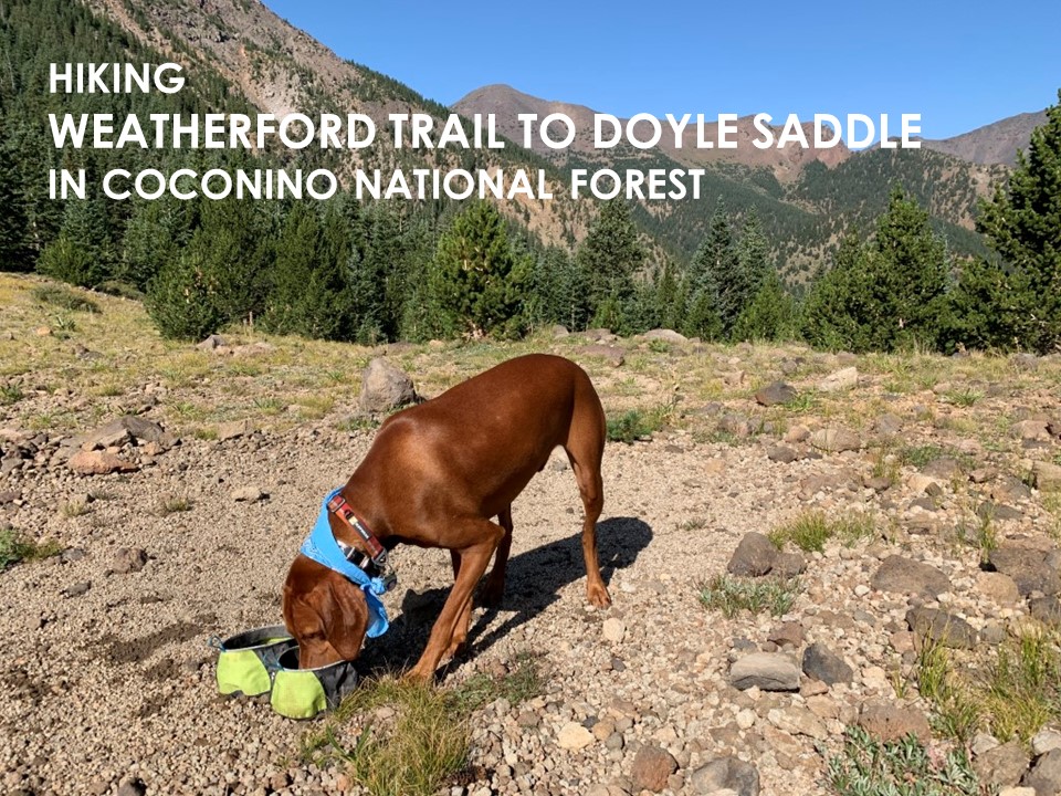
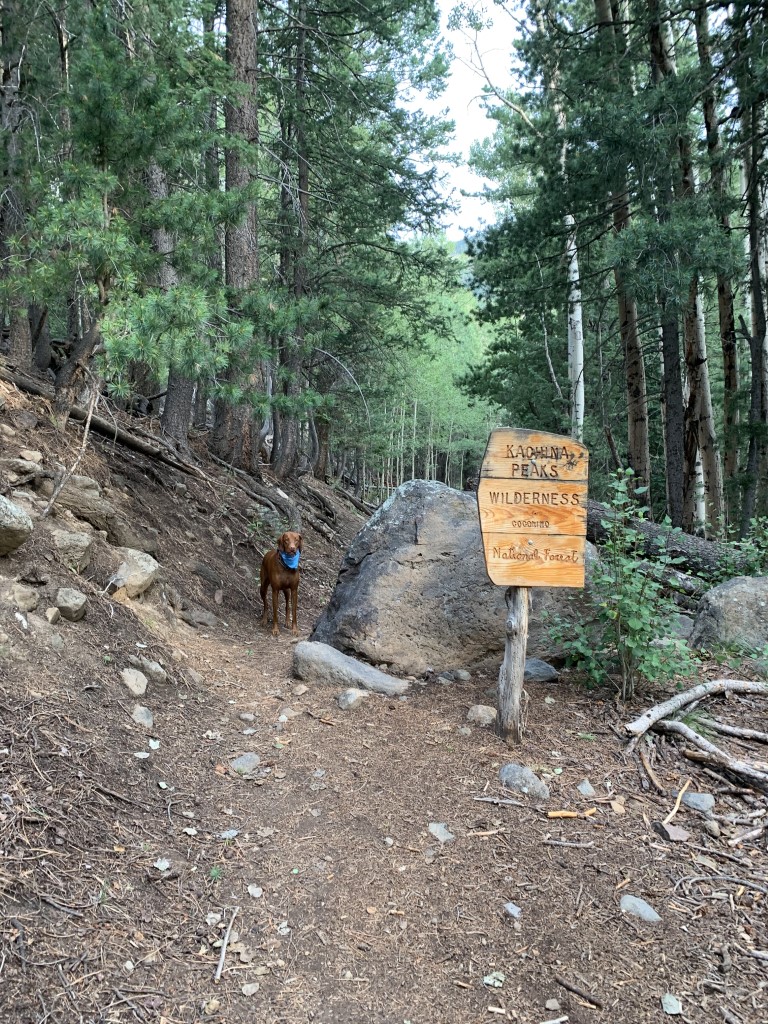
Weatherford Trail to Doyle Saddle
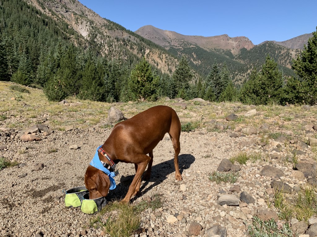
Cappie’s Scoop: There are 3 words to describe this trail – rocks, rocks and rocks. Not even big rocks, there are small rocks and Mom kept sliding on them! If you can ignore the rocks, the view is pretty awesome especially in the fall. Once you get to the saddle, take a break and have some water and treats. You can keep going all the way to Humphrey’s Peak but that’s a long way to go with a lot of miles. I enjoyed the view for a bit and then we headed back down the mountain. Don’t hesitate to add YOUR scoop in the comments below!
Tips: We only went as far as the saddle but the trail can take you all the way to Humphrey’s Peak. You can also backpack and camp at the saddle too. Beginning at Schultz Tank, this trail doesn’t waste time and starts a steady climb all the way to Doyle Saddle. Once at 0.5 miles, keep right on the Weatherford Trail and at about 2 miles you will enter the Kachina Wilderness. You’ll pass through a variety of trees including spruce, fir and green aspen (unless it’s fall, then it’s a gorgeous yellow!). At about 7 miles, you’ll reach the Doyle Saddle at around 10,800 ft. If you have the energy and time, you can continue on up to Humphrey’s Peak (another 3+ miles).
Directions: Take the Highway 180 north of Flagstaff, 3.1 miles to Schultz Pass Road (FR 420). Taking a right, follow road 1/2 mile to the Elden Lookout Road where you will keep left. Once you cross the cattle-guard and road becomes dirt. Follow this dirt road 5 miles up the hill to the Schultz Tank parking lot which is well marked. The trail starts across the road on the other side of parking lot.
| Mileage (round trip) | 14.1 |
| Difficulty | Strenuous |
| Gain (in feet) | 2796 |
| Trailhead | 35.286526, -111.626576 |
| Hike Time (in hours) | 6-8 |
| Exposure | Mostly Shady |
| Scenery | Mountain Views, Forest, Wildflowers |
| Facilities | Toilets in parking area. |
| Fees/Permits | None |
| More Info | http://www.aztrailheads.com/p-210-weatherford-trai-102-to-doyle-saddle.aspx |
| Last Hiked | 8/29/2020 |

O’Melveny Park/Bee Canyon Park – Chasing Green Hills
Hannibal’s Scoop: Several trails to choose from. No shade. I prefer to go early in the morning to avoid the heat and the crowds. Parking is free which is always a plus. I went in March, everything was so green and beautiful.
| Difficulty | Moderate |
| Trailhead | 17300 Sesnon Blvd, Granada Hills, CA 91344 |
| Follow Us! | @ana_adventurer |
Roller Coaster Ridge Trail – Mud, No Problem
Hannibal & Clarice’s Scoop: So I personally love this place after a rainy day because it’s empty! If you don’t mind getting wet and getting some mud on you this is a great place to check out. There is no shade, no restroom but free parking.
| Mileage (round trip) | 4.7 |
| Difficulty | Moderate |
| Gain (in feet) | 1150 |
| Trailhead | 33.478193, -117.628406 |
| Follow Us! | @ana_adventurer |

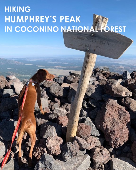
Humphrey’s Peak
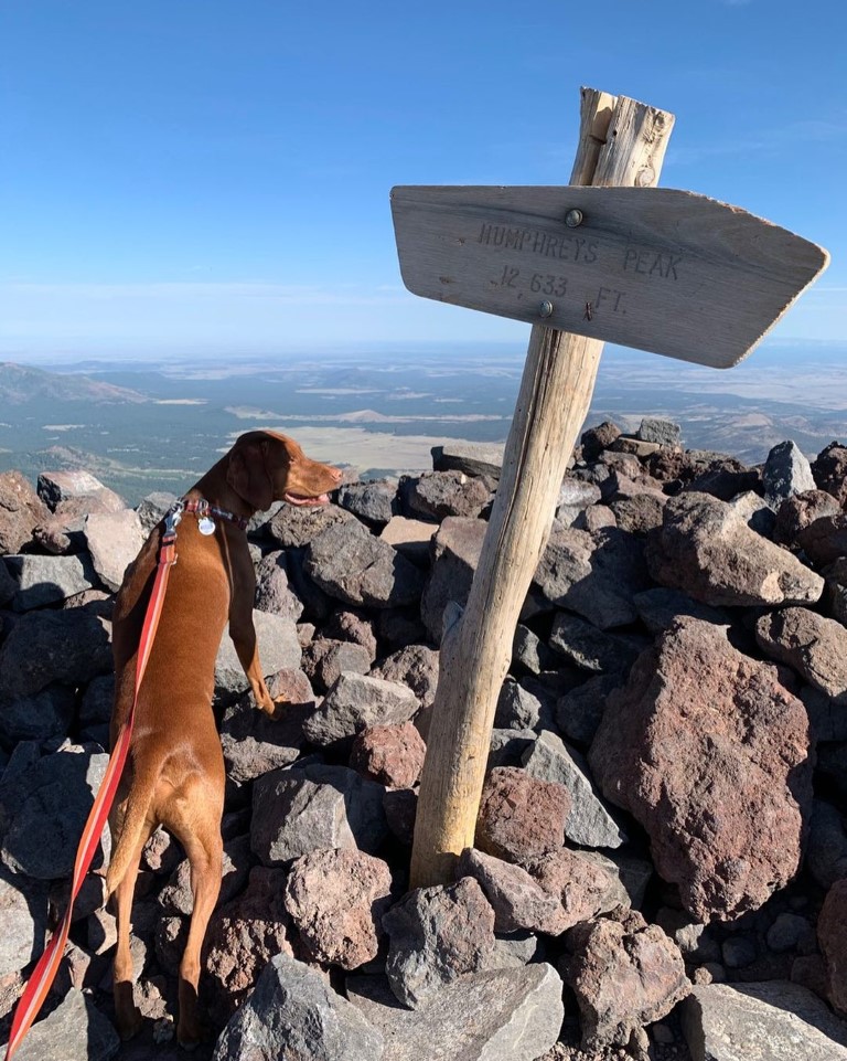
Cappie’s Scoop: I climbed the highest peak in Arizona, woohoo! Mom and I started very early in the morning so we could hike in the cool weather. The first part of the trail up to the saddle has a lot of trees for shade. Then I got up to the saddle and what a view! I sat down and enjoyed some more water and treats before we started the next big section to the peak. It’s very rocky so be careful! I took my time and had breaks when I needed them. The views get better and better so sit on a rock and enjoy them along the way! There are a few false peaks but keep going, you can make it like I did! Don’t hesitate to add YOUR scoop in the comments below!
Tips: This is the highest peak in Arizona! The hike takes you through a beautiful forest until you reach a saddle where the hike follows alongside rocks and boulders to the top. Depending on the time of year, please check the weather for potential storms and if you suspect a storm is coming and/or hear thunder, turn around. The mountain is not going anywhere and you need time to safety return to your car.
Directions: From Flagstaff, head north out of town on Hwy 180. After mile marker 222, turn right onto N Snow Bowl Rd. following the sign for the Arizona Snowbowl. Continue up the windy road for 6.5 miles. You will come to a sign pointing left that says “LOT 1 Base Area Parking Humphrey Trail”. Turn left into that parking area for the trailhead.
| Mileage (round trip) | 10.5 |
| Difficulty | Strenuous |
| Gain (in feet) | 3406 |
| Trailhead | 35.331063, -111.711646 |
| Hike Time (in hours) | 6-8 |
| Exposure | Sunny and Shady |
| Scenery | Mountain Views, Forest, Wildflowers, Boulders, Panoramic Views |
| Facilities | None |
| Fees/Permits | None |
| More Info | https://socalhiker.net/hiking-to-humphreys-peak-in-the-coconino-national-forest-copy |
| Last Hiked | 7/11/2020, 9/9/2021 |


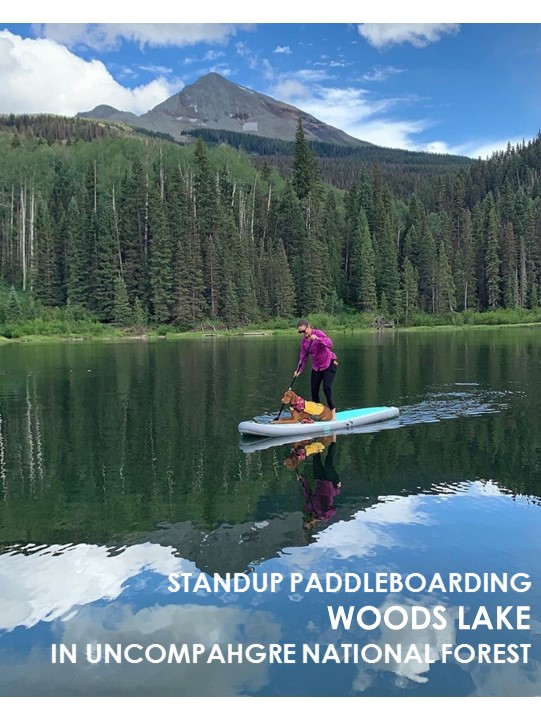
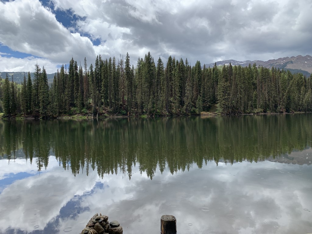
Woods Lake – SUP
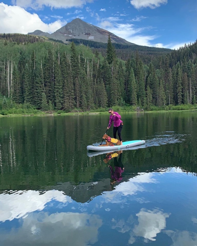
Cappie’s Scoop: I went camping and next to our campground was a lake! It can’t get better than that for a water dog like me. So mom and I went out on the standup paddleboard to check out the lake. I really wanted to jump in and swim around but I was a good boy. I stayed on the board and let mom take me on a tour of the lake. It was a lot of fun! I even saw a beaver swimming across the lake. I don’t know what they are but mom said they like to build dams with lots of sticks. So that means they like sticks just like me! Sounds like they are cool critters. Don’t hesitate to add YOUR scoop in the comments below!
Tips: Timing didn’t work for us but we’d recommend you paddleboard at sunset because it’s beautiful from the lake! The town of Telluride is located 40 minutes from here.
Directions: From the town of Telluride, head west on highway 145 for about 13 miles to County Road 57P, Fall Creek Road. Turn left (heading south) onto CR 57P and continue for about 5.2 miles to the National Forest Boundary where CR 57P becomes Forest Service Road 618. Follow 618 for another 3.3 miles to the Woods Lake Campground and Lake.
| Mileage (round trip) | Up to you! |
| Difficulty | Easy |
| Gain (in feet) | N/A |
| Location | 37.884268, -108.056176 |
| Time (in hours) | 2-3 |
| Exposure | Sunny |
| Scenery | Forest, Wildlife, Wildflowers, Lake Views |
| Facilities | Toilets at the campground. |
| Fees/Permits | There may be a $4 per day for day use. |
| More Info | https://www.fs.usda.gov/recarea/gmug/recarea/?recid=32380 |
| Last SUP’d | 7/6/2020 |

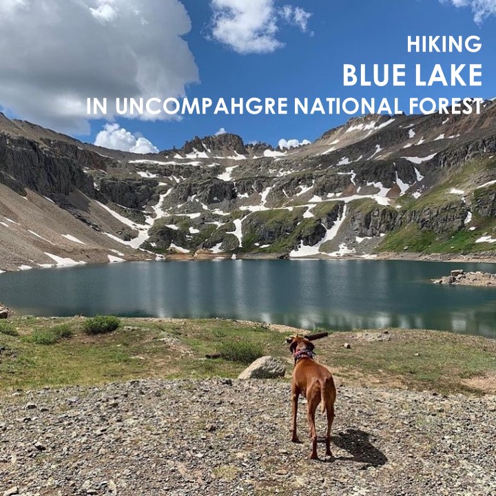
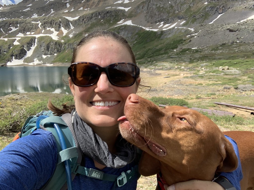
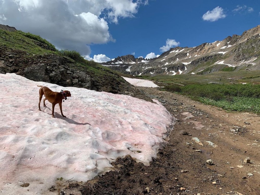
Blue Lake
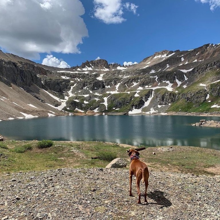
Cappie’s Scoop: Wow, all I can say is wow! I told mom we need to move here so I can hike this trail all the time. There are waterfalls and an alpine lake to jump in! After I hiked for a bit up this trail, I didn’t see a lot of hoomans or dogs. There was also a lot of space for me to zoom and mom didn’t have to worry about being close to the edge of a mountain or anything. I told mom we should bring our tent next time and stay a while! If you want a longer hike, you can keep hiking past Blue Lake to Lewis Lake and Mine. Don’t hesitate to add YOUR scoop in the comments below!
Tips: This is one of the most spectacular trails we’ve hiked so far! The trail up to the lake is busting with wildflowers in July, waterfalls and mountain views! The lake sits at 12,220 ft.
Directions: From the town of Telluride, head east on Colorado Avenue leaving the town behind you for about 2 miles. Colorado Avenue becomes Forest Service Rd 648 and ends at a parking lot. Parking for this hike fills up fast so be sure to go early or on a weekday. Some brave vehicles may even drive up the fire road as far as the power station where the trail continues past the waterfall behind a gate. Watch out for cars if your dog is with you.
| Mileage (round trip) | 10.5 |
| Difficulty | Strenuous |
| Gain (in feet) | 3211 |
| Trailhead | 37.928665, -107.776533 |
| Hike Time (in hours) | 6-8 |
| Exposure | Mostly Sunny |
| Scenery | Mountain Views, Alpine Lake Views, Trees, Waterfalls, Wildflowers |
| Facilities | Port-a-potty at trailhead. |
| Fees/Permits | None |
| More Info | https://www.telluride.com/play/activities/blue-lake (note the start in this write-up is only from Bridal Veil Falls and our post details are round trip from the parking lot) |
| Last Hiked | 7/5/2020 |
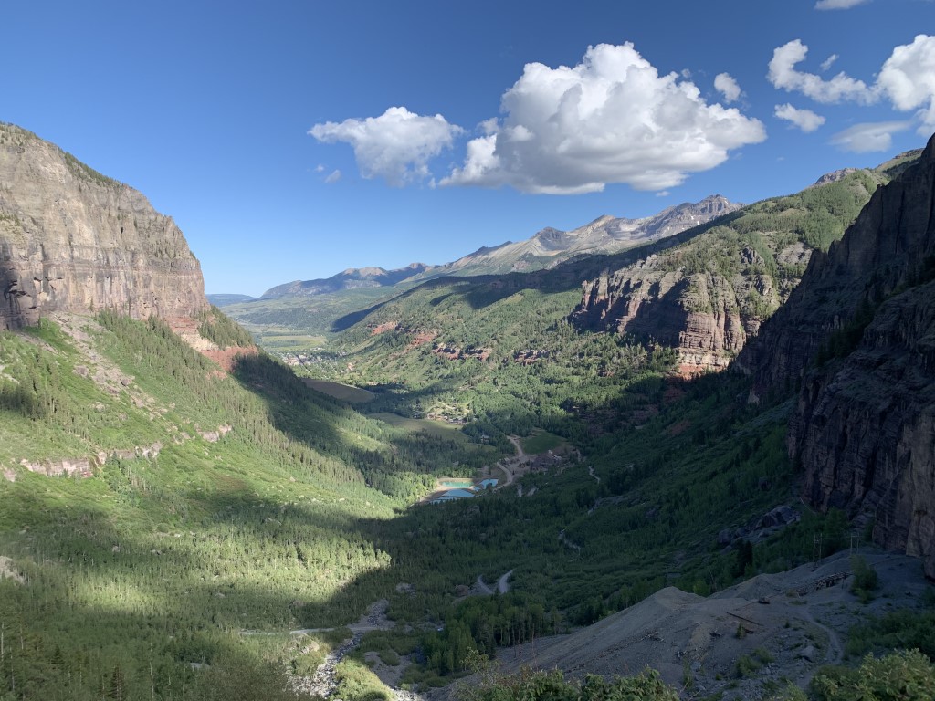

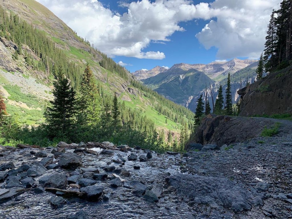
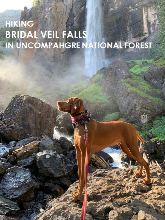
Bridal Veil Falls – Summer
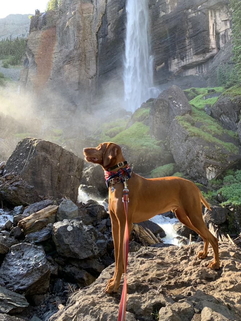
Cappie’s Scoop: I’ve hiked here in the summer and winter. If you want to see pictures of the winter hike, check out Bridal Veil Falls – Winter. I’m a water dog so any trail with water, I’m there! Don’t hesitate to add YOUR scoop in the comments below!
Tips: Located just outside of Telluride, this multi-use trail is great in the summer and winter! We had a chance to do both seeing the waterfall running strong in the summer and frozen in the winter. See other post for winter pictures. Total roundtrip mileage is to the power station (top of the falls). There is also a new trail from the parking lot to the base of the falls and avoids the fire road. We checked this out but the trail is a little rough and uneven so be prepared for it if you take this detour. The trail does connect back to the fire road so you can continue up to the best viewpoint of the waterfall – so close that you feel the mist of the falls on your face! Want a longer hike, see our posts for Blue Lake and Lewis Lake which are on the same trail.
Directions: From the town of Telluride, head east on Colorado Avenue leaving the town behind you for about 2 miles. Colorado Avenue becomes Forest Service Rd 648 and ends at a parking lot. Parking for this hike fills up fast so be sure to go early or on a weekday. Some brave vehicles may even drive up the fire road as far as the power station where the trail continues past the waterfall behind a gate. Watch out for cars if your dog is with you.
| Mileage (round trip) | 4.8 |
| Difficulty | Moderate |
| Gain (in feet) | 1368 |
| Trailhead | 37.928665, -107.776533 |
| Hike Time (in hours) | 3-4 |
| Exposure | Mostly Sunny |
| Scenery | Mountain Views, Trees, Waterfalls |
| Facilities | Port-a-potty at trailhead. |
| Fees/Permits | None |
| More Info | https://www.telluride.com/play/activities/bridal-veil-falls |
| Last Hiked | 7/5/2020, 7/9/2021, 7/9/2023 |