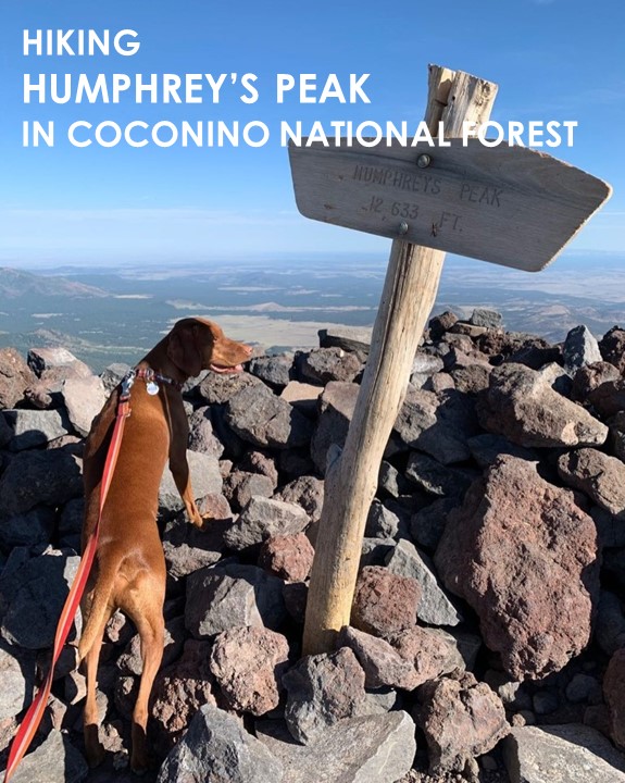
Humphrey’s Peak
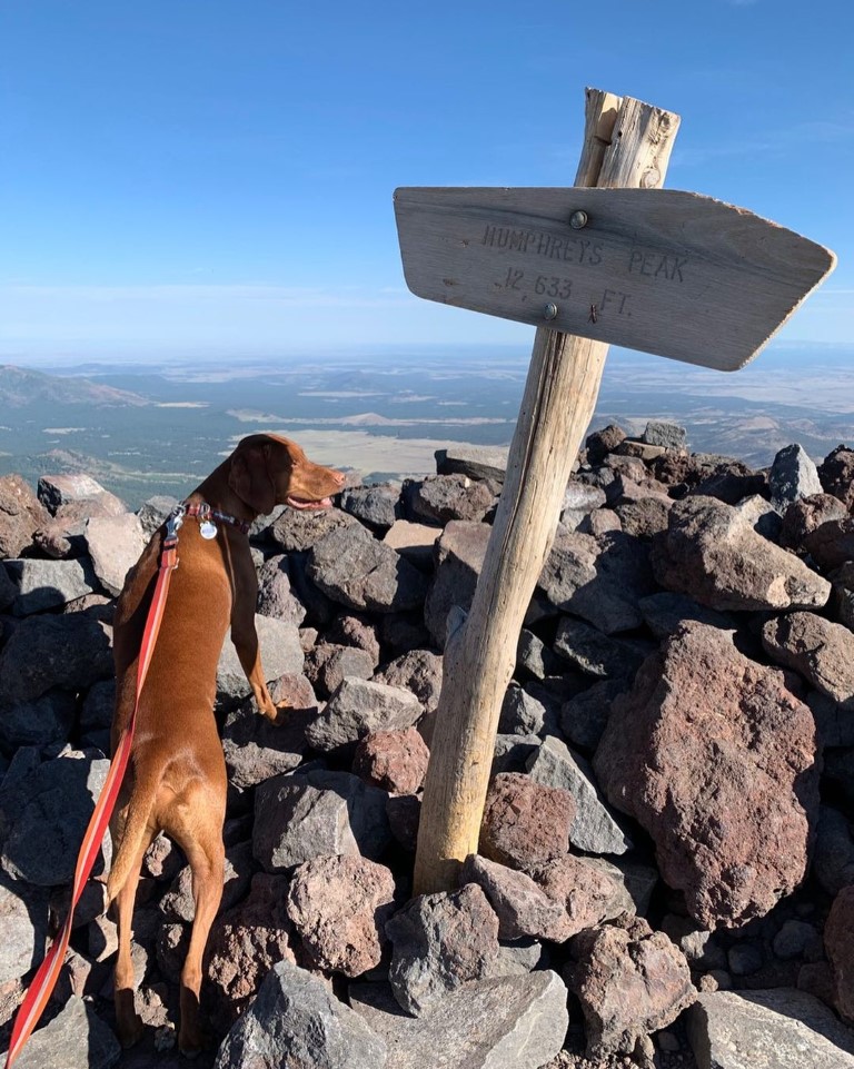
Cappie’s Scoop: I climbed the highest peak in Arizona, woohoo! Mom and I started very early in the morning so we could hike in the cool weather. The first part of the trail up to the saddle has a lot of trees for shade. Then I got up to the saddle and what a view! I sat down and enjoyed some more water and treats before we started the next big section to the peak. It’s very rocky so be careful! I took my time and had breaks when I needed them. The views get better and better so sit on a rock and enjoy them along the way! There are a few false peaks but keep going, you can make it like I did! Don’t hesitate to add YOUR scoop in the comments below!
Tips: This is the highest peak in Arizona! The hike takes you through a beautiful forest until you reach a saddle where the hike follows alongside rocks and boulders to the top. Depending on the time of year, please check the weather for potential storms and if you suspect a storm is coming and/or hear thunder, turn around. The mountain is not going anywhere and you need time to safety return to your car.
Directions: From Flagstaff, head north out of town on Hwy 180. After mile marker 222, turn right onto N Snow Bowl Rd. following the sign for the Arizona Snowbowl. Continue up the windy road for 6.5 miles. You will come to a sign pointing left that says “LOT 1 Base Area Parking Humphrey Trail”. Turn left into that parking area for the trailhead.
| Mileage (round trip) | 10.5 |
| Difficulty | Strenuous |
| Gain (in feet) | 3406 |
| Trailhead | 35.331063, -111.711646 |
| Hike Time (in hours) | 6-8 |
| Exposure | Sunny and Shady |
| Scenery | Mountain Views, Forest, Wildflowers, Boulders, Panoramic Views |
| Facilities | None |
| Fees/Permits | None |
| More Info | https://socalhiker.net/hiking-to-humphreys-peak-in-the-coconino-national-forest-copy |
| Last Hiked | 7/11/2020, 9/9/2021 |