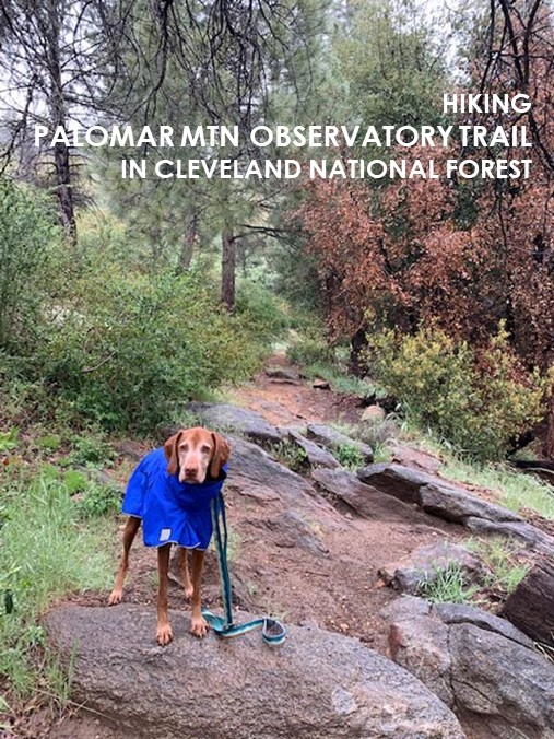
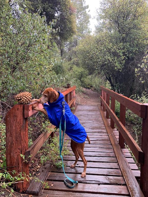
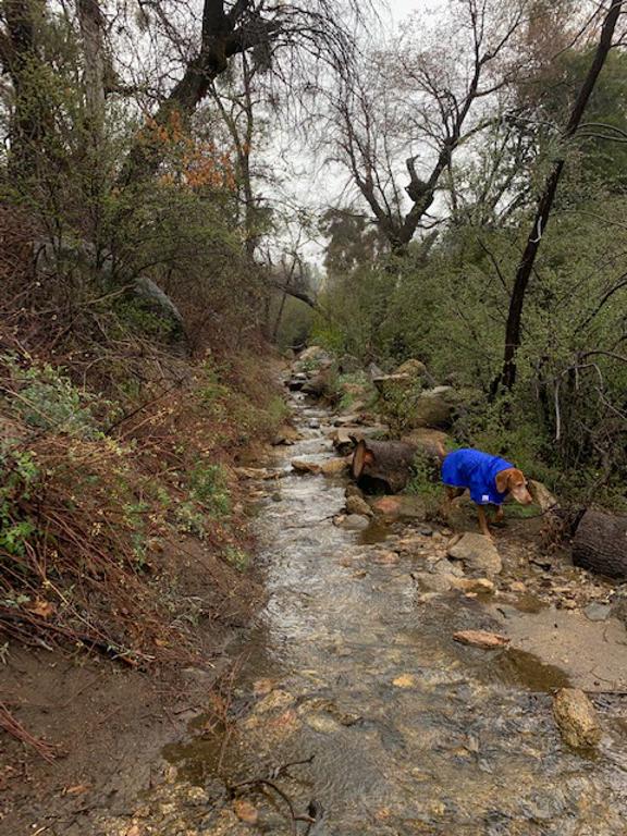
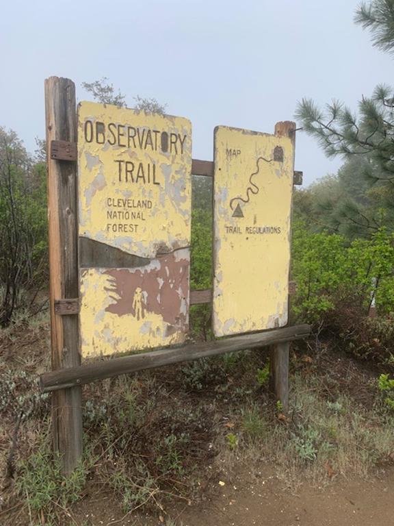
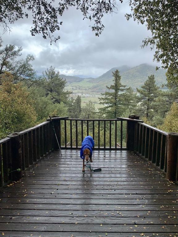
Palomar Mountain Observatory Trail
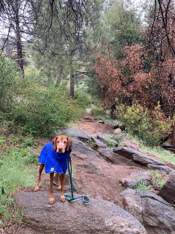
Cappie’s Scoop: Into the forest I go! This trail had rocks to climb, creeks to cross, acorns to chew and huge scary pine cones to ignore. It’s a fun trail with lots of trees and shade. Can’t wait to go back again! Don’t hesitate to add YOUR scoop in the comments below!
Tips: The mileage 4.6 miles RT ends at the Palomar Observatory (the largest in the world from 1948 to 1976) but if the gate is closed at the road, the mileage is 4.2 miles RT. At the time of this recent post, the trail has some downed trees blocking the trail that you will need to maneuver around. This area had a tough winter with the amount of snow and rain. Once it starts warming up, I can only imagine the views will be better with the trees getting their leaves back.
Directions: Coordinates take you to the parking lot. The trail is a bit tricky to find since it’s not marked. It starts from the parking lot next to the fee area sign and The Laguna Mountains Skipper information sign. Walk through the wooden fence and hang a left to pick up the trail. The trail on the right will take you to the amphitheater.
| Mileage (round trip) | 4.6 |
| Difficulty | Moderate |
| Gain (in feet) | 767 |
| Trailhead | 33.34306, -116.87751 |
| Hike Time (in hours) | 2-3 |
| Exposure | Mostly Shady |
| Scenery | Mountain Views, Creek, Forest, Wildflowers |
| Facilities | Toilets in the parking lot. |
| Fees/Permits | California Adventure Pass or Interagency Annual Pass/America the Beautiful Pass (National Parks Pass). No fee or pass needed if camping at the Observatory Campground. |
| More Info | https://www.fs.usda.gov/recarea/cleveland/recarea/?recid=47562; https://hikingguy.com/hiking-trails/hiking-san-diego/palomar-mountain-observatory-trail |
| Last Hiked | 7/23/2016, 5/5/2023 |
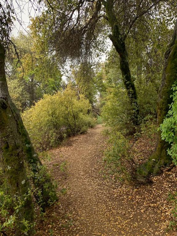

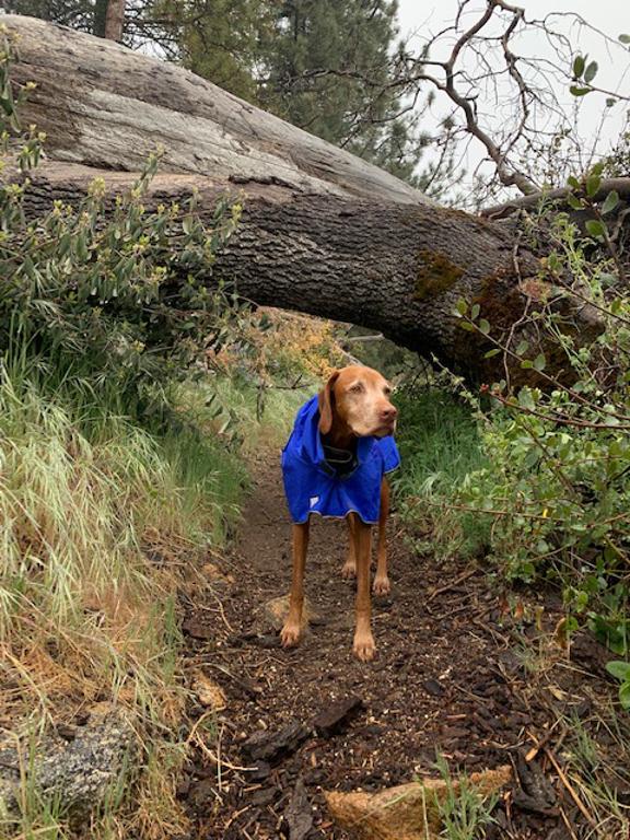


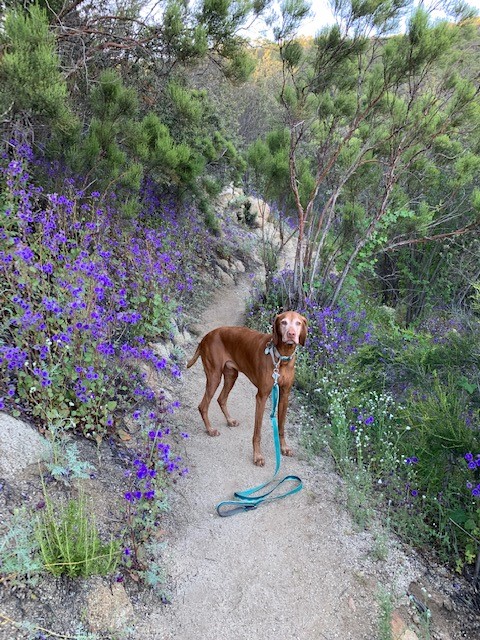
South Fork Trail 2E17
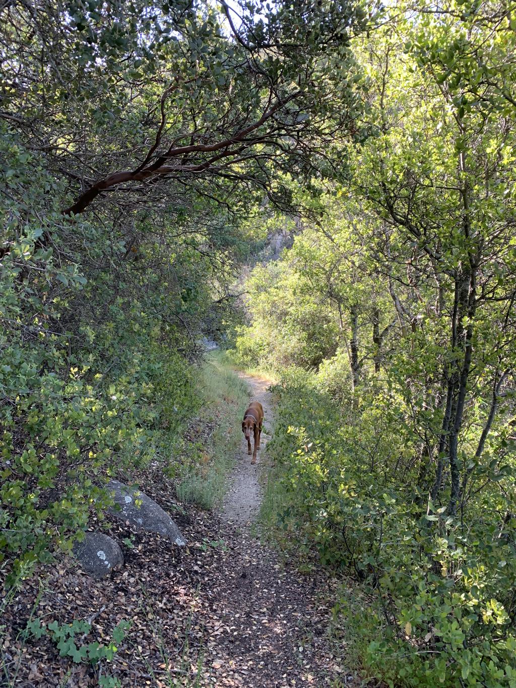
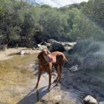
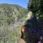
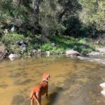
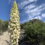
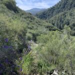
Cappie’s Scoop: This trail surprised us! I didn’t expect much because we parked on the side of the road but once we started hiking, we were deep in the mountains with cool forest views! Then we passed over a running creek which was fun to play in for a bit. The trail had lots of wildflowers and tasty green grass growing everywhere. Then we started hiking down to the bottom of the mountain and we came to the San Jacinto River! I went swimming for a bit, had some treats and then we started heading back. Can’t wait to do this one again! Don’t hesitate to add YOUR scoop in the comments below!
Tips: This trail is a little less traveled than others which makes it a great find! In some parts the trail is overgrown with grass and flowers growing onto the trail. A few times we thought we lost the trail but we never did. We hiked all the way to the river without seeing anyone!
Directions: From Idyllwild, head south on CA-243 and turn right toward CA-74 W. Continue on CA-74 W for about 2.6 miles until you see a pullout on your left hand side. There is a sign that says South Fork Trail 2E17.
| Mileage (round trip) | 5.4 |
| Difficulty | Moderate |
| Gain (in feet) | 1056 |
| Trailhead | 33.697541, -116.759978 |
| Hike Time (in hours) | 2-3 |
| Exposure | Sunny and Shady |
| Scenery | Mountain Views, Forest, Wildflowers, Creek, River |
| Facilities | None |
| Fees/Permits | None |
| More Info | https://www.fs.usda.gov/recarea/sbnf/recreation/hiking/recarea/?recid=26493&actid=50 |
| Last Hiked | 4/30/2023 |

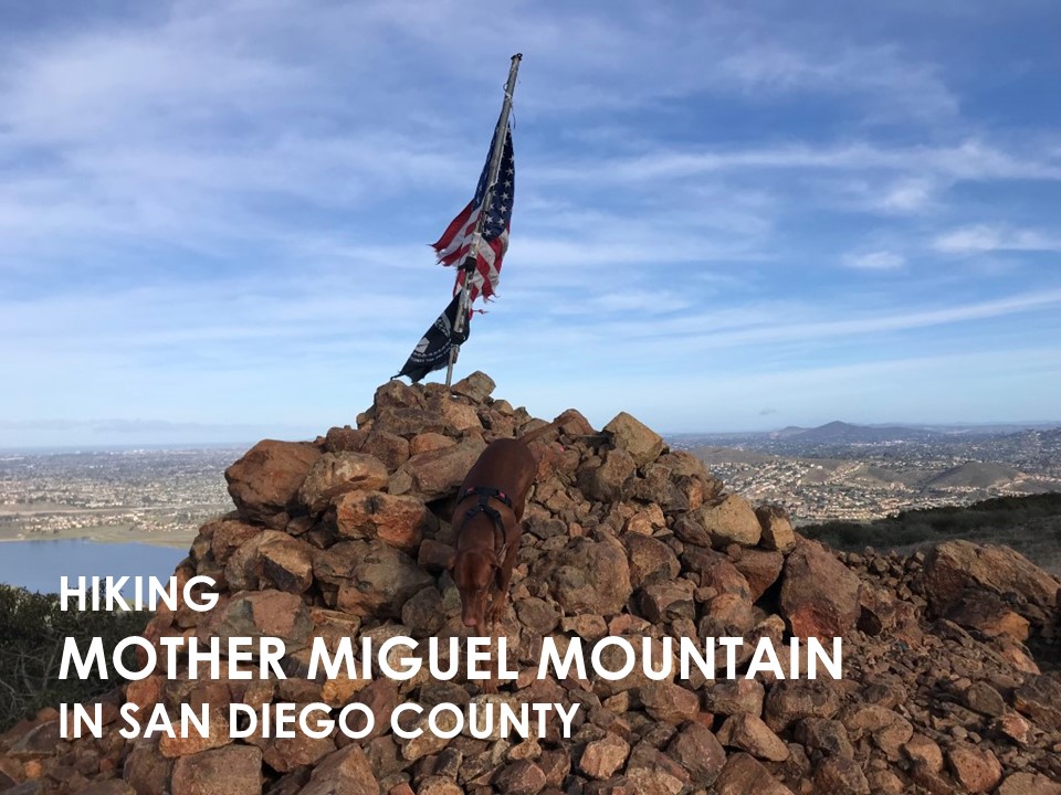
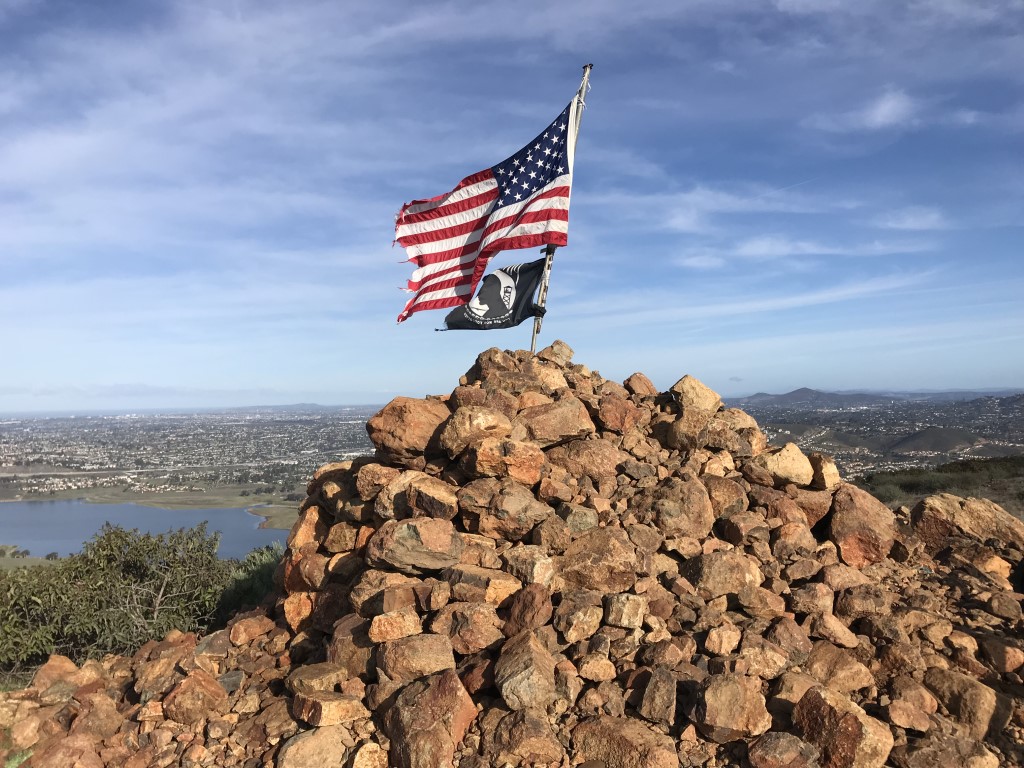
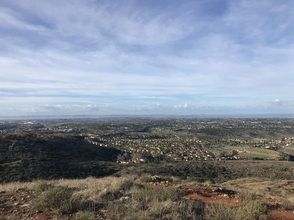
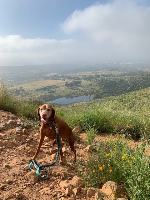
Mother Miguel Mountain
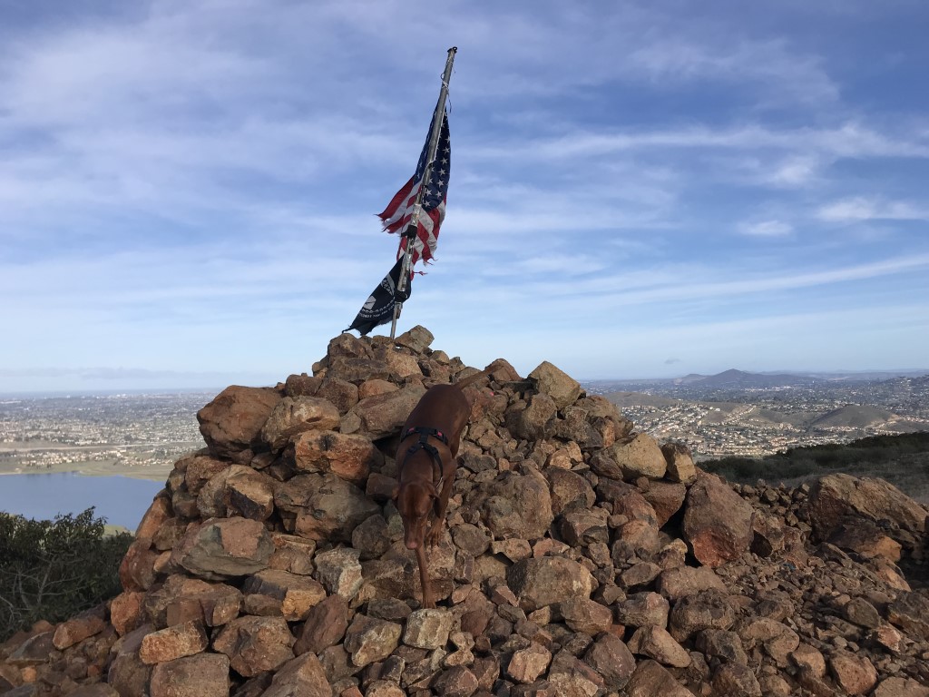
Cappie’s Scoop: This is a great hike for watching the sunset furiends! Plus you feel very patriotic at the “rockhouse” with the American and POW-MIA flags behind you. It is very peaceful up on the mountain. I like to do this hike early in the morning or late in the evening because there is no shade and no trees which means not many sticks either. When it’s clear out, you can see San Diego bay, Coronado Island (my favorite dog beach is here), Mexico, and downtown San Diego where I live! Don’t hesitate to add YOUR scoop in the comments below!
Tips: None
Directions: You can take the toll section of highway 125 for a more direct route – the directions below avoid the toll road. Take 125 south to the Paradise Valley Road exit. Turn right onto Elkelton Place, then left onto Paradise Valley Road. After approximately 0.5 mile, turn left onto S Worthington Street. Continue as S Worthington Street turns into Sweetwater Road. Turn left onto Bonita Road, then take the next left onto San Miguel Road. Follow San Miguel Road for approximately 0.9 miles, then turn right onto Proctor Valley Road. Follow Proctor Valley Road for approximately 0.5 miles then turn left onto San Miguel Ranch Road. Continue as San Miguel Ranch Road turns into Mt Miguel Road, then turn left onto Paseo Veracruz. Follow Paseo Veracruz for approximately 0.2 miles and find the trailhead at the end of the street. Park along the street or at the nearby Mt. San Miguel Park.
| Mileage (round trip) | 4.1 |
| Difficulty | Moderate |
| Gain (in feet) | 1030 |
| Trailhead | 32.671898, -116.972058 |
| Hike Time (in hours) | 3-4 |
| Exposure | Sunny |
| Scenery | Mountain Views |
| Facilities | None |
| Fees/Permits | None |
| More Info | http://hikingsdcounty.com/mother-miguel-mountain-aka-the-rockhouse |
| Last Hiked | 3/18/2018, 4/23/2023 |

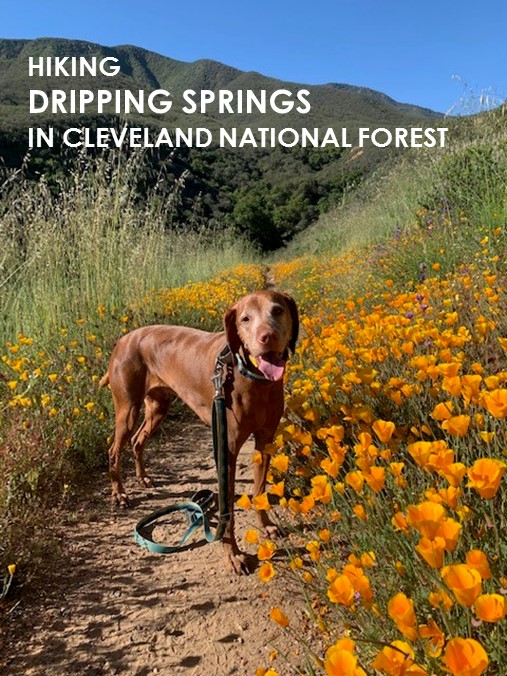
Dripping Springs

Cappie’s Scoop: This is a really fun hike and even in the rain! There is even some shade along the way and that’s the cool part. Hiking under the trees as we climb up and up until we have a view of the mountains in the distant. It’s not an easy hike but just remember that all that climbing means we get to go downhill on the way back. On the way to the trailhead, we walk through a campground. Mom and I have picked out a few good sites we’d like to stay at next time we go. Then maybe we can do the whole LOOP one day! That’s about 20 miles. But half will be uphill and the other half downhill so I think we could tackle it! It’s on our bucket list to do. Don’t hesitate to add YOUR scoop in the comments below!
Tips: You have a few options to tackle this trail. You can do an out-and-back day hike starting at the Dripping Springs trail (go right) or the Wild Horse trail (go left). Or you can do one big loop which is close to 20 miles. You even have an option to backpack this trail but it requires an overnight permit.
Directions: Can navigate to the Dripping Springs Campground or take I-15 and exit on Highway 79 E toward Indio. Follow 79 through Temecula and turn right into the Dripping Springs Campground.
| Mileage (round trip) | 13.8 |
| Difficulty | Moderate |
| Gain (in feet) | 2995 |
| Trailhead | 33.465073, -116.971082 |
| Hike Time (in hours) | 7-8 |
| Exposure | Sunny and Shady |
| Scenery | Mountain Views, Forest |
| Facilities | Toilets in the campground on your way to the trailhead. |
| Fees/Permits | California Adventure Pass or Interagency Annual Pass/America the Beautiful Pass (National Parks Pass). OR if you get there early enough, there are actually a couple free day hiking parking spots. |
| More Info | https://www.sandiegoreader.com/news/2012/nov/14/roam-dripping-springs-trail; https://modernhiker.com/hike/hike-the-agua-tibia-loop-in-cleveland-national-forest |
| Last Hiked | 12/23/2018, 2/10/2019, 4/21/2023 |
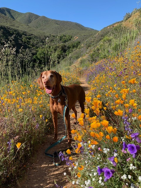
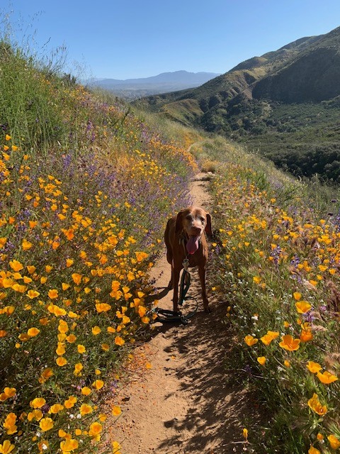
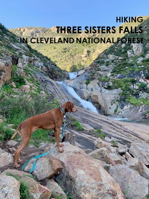
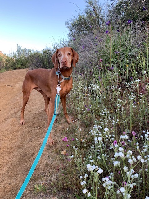
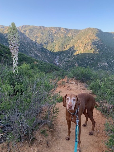
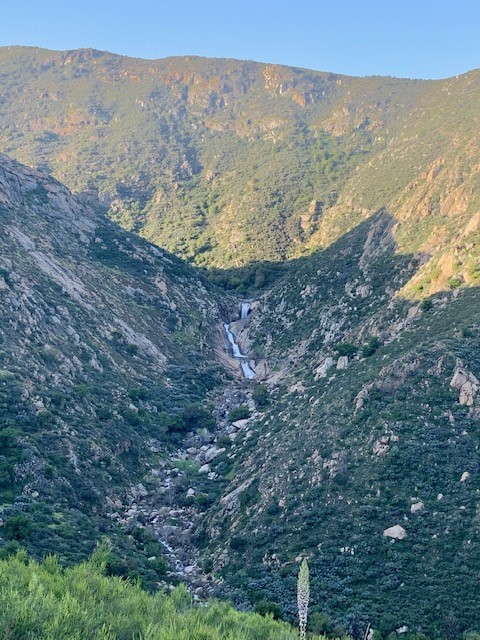
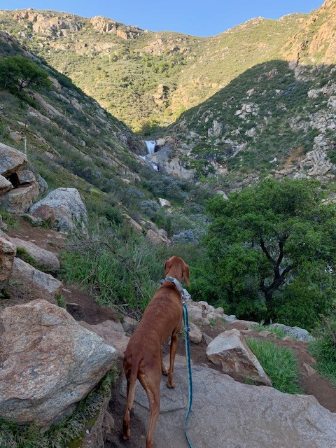
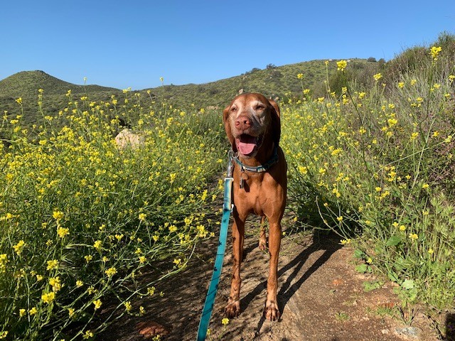
Three Sisters Falls

Cappie’s Scoop: Coming Soon! Don’t hesitate to add YOUR scoop in the comments below!
Tips: Go early because the trailhead parking lot gets really packed due to the Three Sisters Falls trail that also starts from this trailhead.
Directions: From I-8 E, take the CA-79 exit. Follow 79 N for approximately 1.3 miles, then turn left onto Riverside Drive. At 0.9 miles Riverside Drive turns into Viejas Blvd and you will see a market/gas station on the left. Turn left here onto Viejas Grade Rd, then make an immediate right onto Oak Grove Dr. Follow Oak Grove Dr for 1.6 miles and turn right onto Boulder Creek Rd. Continue on Boulder Creek Road for 13 miles until you reach a hairpin turn where you will find the small dirt parking area and trailhead on the left. Boulder Creek Road is a beautiful and exciting mountain road. It is only paved for the first five miles or so, but the dirt portion was in very good condition the last time we hiked there. Expect the drive to be a bit bumpy.
| Mileage (round trip) | 4.2 |
| Difficulty | Moderately Strenuous |
| Gain (in feet) | 1000 |
| Trailhead | 32.984608, -116.677994 |
| Hike Time (in hours) | 3-4 |
| Exposure | Sunny |
| Scenery | Mountain Views, Forest, Waterfalls, Wildflowers |
| Facilities | None |
| Fees/Permits | None |
| More Info | https://www.fs.usda.gov/recarea/cleveland/recarea/?recid=82316; https://hikingsdcounty.com/three-sisters |
| Last Hiked | 4/15/2023 |


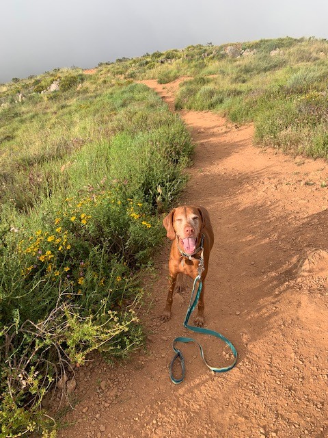
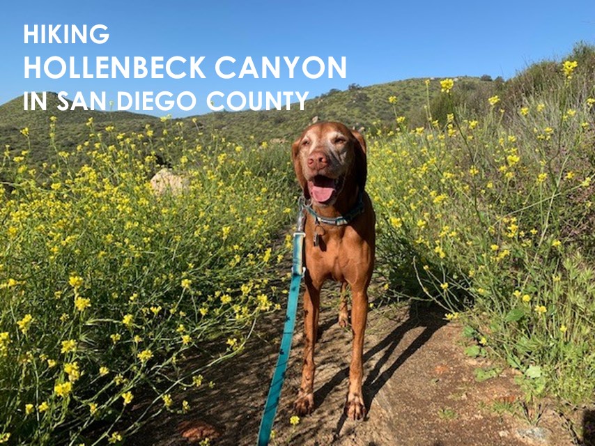
Hollenbeck Canyon
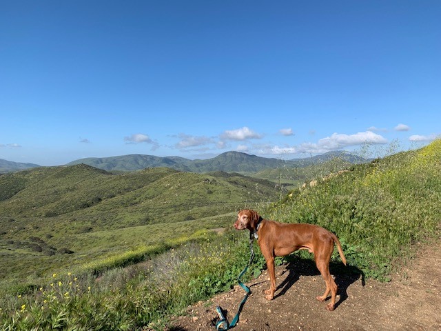
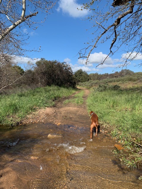
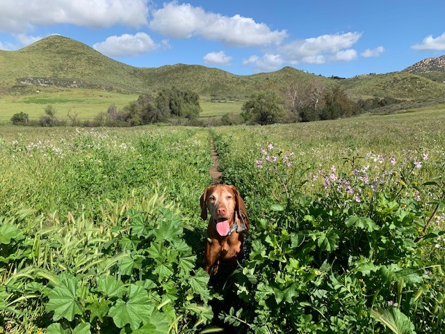
Cappie’s Scoop: Spring is a great time to visit this canyon! Lots of flowers to smell, sticks to crunch and of course green grass to eat. Yummm! We did a big loop around the canyon and even took a small side trail to see some rocks. Mom says the rock might have bedrock mortars in them but they just looked like rocks with holes to me! I found a cushy seat in the grass and didn’t want to leave. My face says it all in the picture! Don’t hesitate to add YOUR scoop in the comments below!
Tips: None
Directions: Take 94 E until it turns into Campo Road. Turn right onto CA-94 E/Campo Road (you’ll see TGI Friday’s across the street). Continue along Campo Road for approximately 9.5 miles, turn left onto Honey Springs Road. The trail head is on the left after about 0.1 mile it’s a large dirt parking lot.
| Mileage (round trip) | 6.3 |
| Difficulty | Easy |
| Gain (in feet) | 775 |
| Trailhead | 32.670598, -116.823085 |
| Hike Time (in hours) | 3-4 |
| Exposure | Mostly Sunny |
| Scenery | Canyon Views, Trees, Wildlife, Birds, Wildflowers |
| Facilities | Port-a-potty at trailhead. |
| Fees/Permits | Daily land pass $5.40 for 2023, https://www.ca.wildlifelicense.com/InternetSales |
| More Info | http://hikingsdcounty.com/hollenbeck-canyon; https://wildlife.ca.gov/Lands/Places-to-Visit/Hollenbeck-Canyon-WA; https://nrm.dfg.ca.gov/FileHandler.ashx?DocumentID=150190&inline; https://wildlife.ca.gov/Licensing/Lands-Pass |
| Last Hiked | 3/25/2018, 3/7/2021, 3/19/2022, 3/25/2023 |
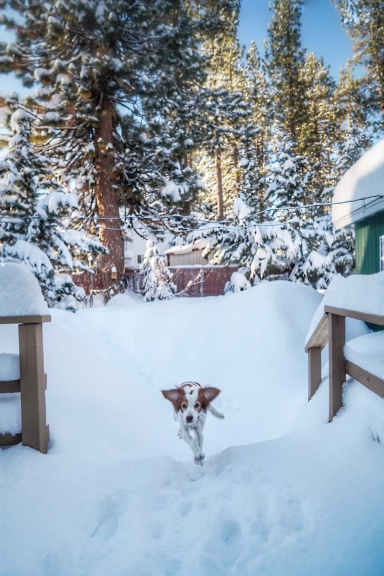
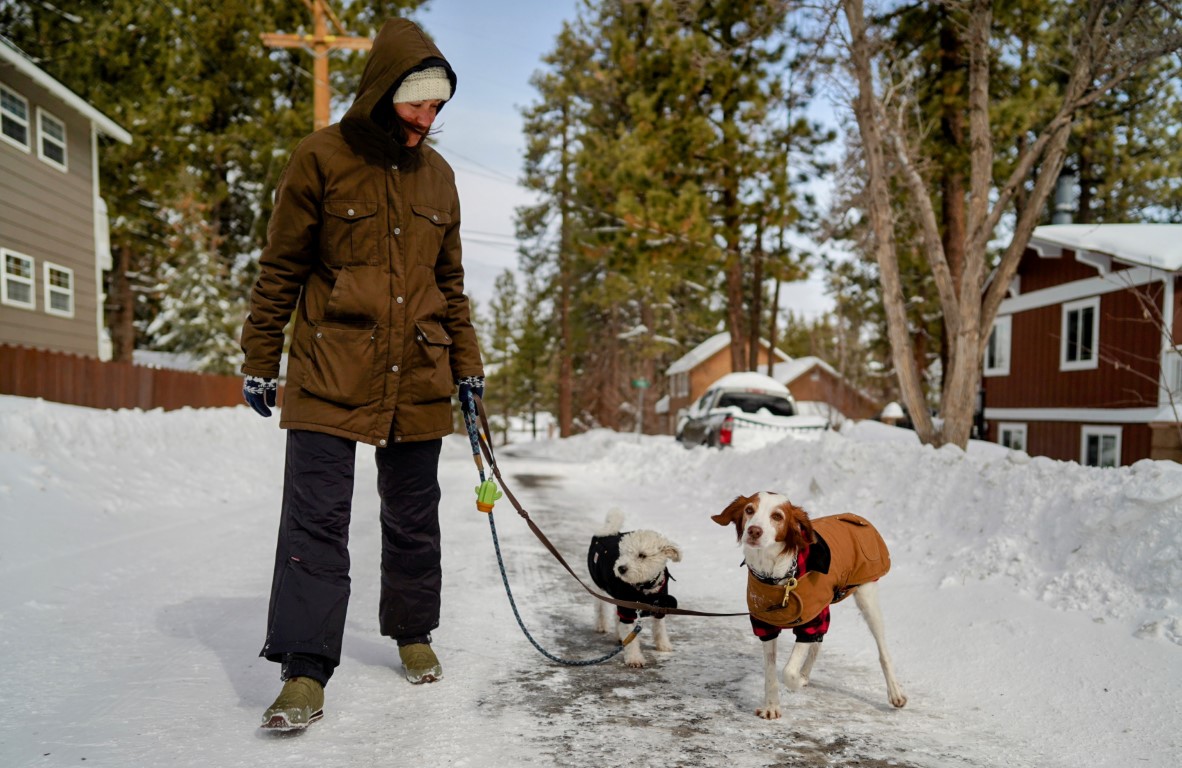
Dogs of The Little Green Lodge

Ruby and Willie’s Scoop: We’re at The Little Green Lodge up in Big Bear Lake! It’s coziest and dog friendliest Airbnb! We love staying here! The fully fenced in large yard is perfect for frolicking in the snow and the big trees are great for bird and squirrel watching. Inside there are dog toys to play with and a comfy dog bed to get cozy by the fire with. We love it here all seasons! Pine Knot trailhead is 1/4 miles away and the lake is 1/2 mile away. Great walkability to the village too! So many adventures for us!
| Location | Airbnb Lodge: https://abnb.me/ryWTFjguGxb |
| Follow Us! | @DogsofTheLittleGreenLodge |


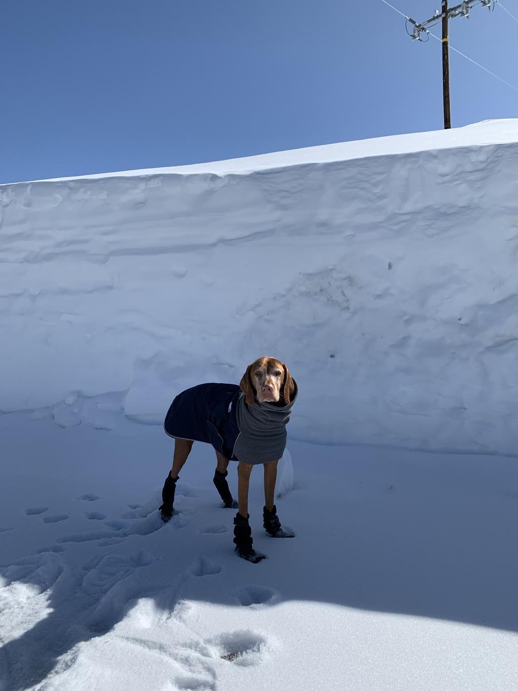
Snow Day on Tahquitz Peak
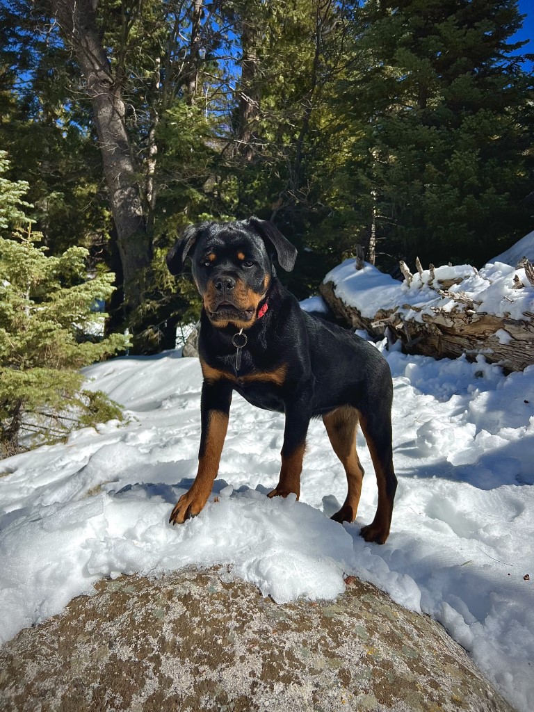
Nala’s Scoop: First snow hike up in the Idyllwild mountains!
| Mileage (round trip) | 6.6 or 8.1 |
| Difficulty | Strenuous |
| Gain (in feet) | 2400 |
| Trailhead | 33.735309, -116.696079 (via South Ridge Trail for 6.6 RT or 33.764694, -116.686133 (via Devils Slide Trail for 8.1 RT) |
| Hike Time (in hours) | 4-5 |
| More Info | https://hikingguy.com/hiking-trails/best-la-hikes/tahquitz-peak-via-devils-slide-trail-hike; https://nobodyhikesinla.com/2013/08/16/tahquitz-peak-via-south-ridge-trail |
| Follow Us! | @exploringwith_nala |
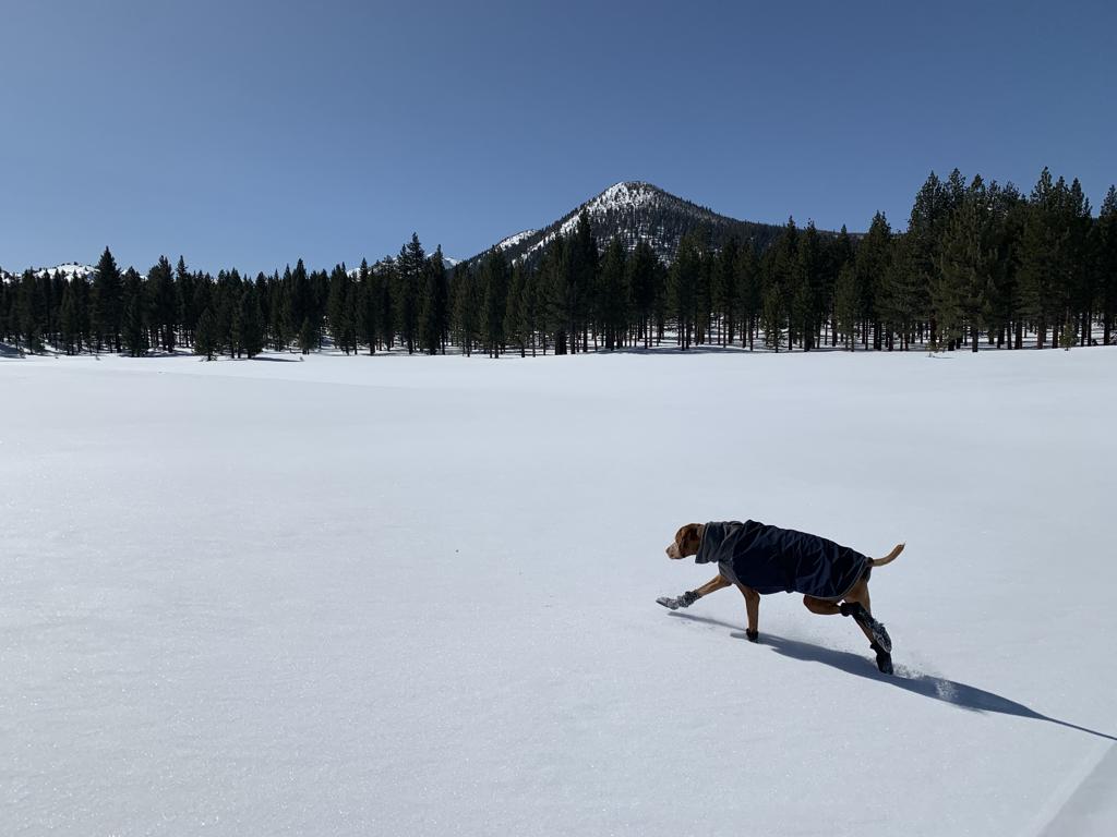
Obsidian Dome Trail
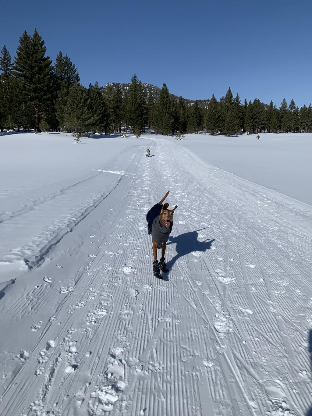
Cappie’s Scoop: This is a fun snow hike! Since this is a closed road covered in snow, it’s like a huge hiking trail! Mom can snowshoe and I can zoom around in the snow. We also saw lots of hoomans cross-country skiing. It was cool! Mom thinks we should bring a sled next time. Don’t hesitate to add YOUR scoop in the comments below!
Tips: The Obsidian Dome area has groomed cross country and snowshoeing trails, which can be accessed from Highway 395. Located between Mammoth Lakes and June Lake. We snowshoed on these trails! There are three groomed loops from easy (2.6 miles or less) to moderate (6 miles).
Directions: From the town of Bishop, head north on 395 past Mammoth Lakes for about 50 miles. Then turn left into the parking lot area.
| Mileage (round trip) | 2.6+ |
| Difficulty | Easy |
| Gain (in feet) | 500+ |
| Trailhead | 37.774752, -119.014947 |
| Hike Time (in hours) | 2-3 |
| Exposure | Sunny and Shady |
| Scenery | Mountain Views |
| Facilities | None at the trailhead. Vault toilets at the campground. Bring your own toilet paper. |
| Fees/Permits | None to park and none to camp. If you intend to build a fire in the provided fire rings at the campground, you will need a free CA campfire permit. You can obtain one by watching this short video online, https://www.readyforwildfire.org/permits/campfire-permit. |
| More Info | https://www.monocounty.org/things-to-do/by-snow/snowshoeing; https://californiathroughmylens.com/obsidian-dome (for a non-winter hike) |
| Last Hiked | 2/18/2023 |


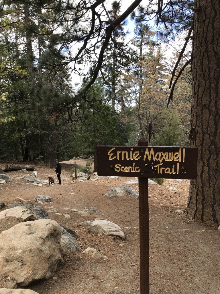
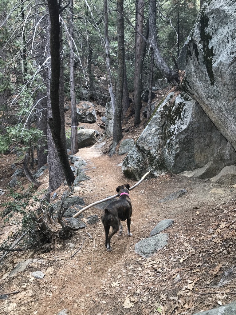
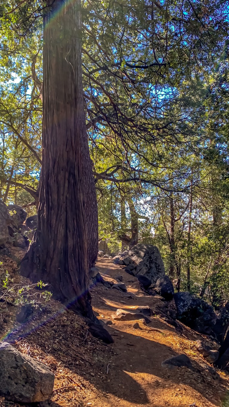
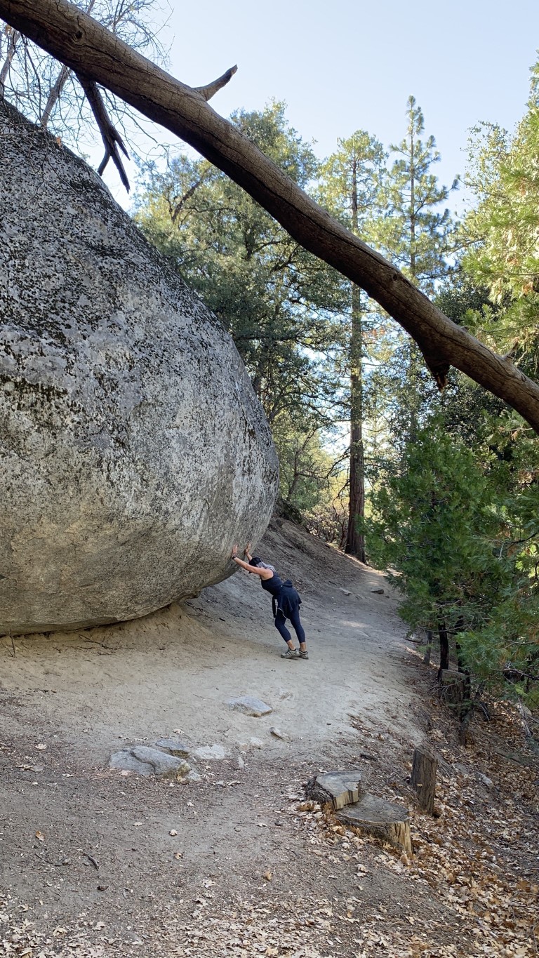
Ernie Maxwell Scenic Trail via Humber Park
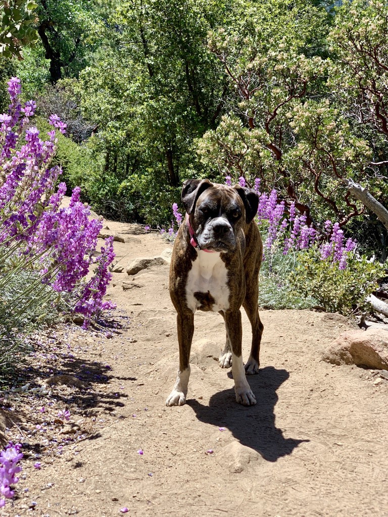
Olive’s Scoop: Two hours from San Diego, Ernie Maxwell Scenic Trail is dog friendly and kid friendly. Lots of shade during the hike, lots of great places for pictures, waterfalls, wildflowers, trees, and smells! The dogs will love it. Ernie Maxwell starts at Humber Park trailhead and is one of several dog friendly hikes in Idyllwild, CA where the Mayor is a dog! Good trail most of the year.
| Mileage (round trip) | 4.6 |
| Difficulty | Moderate |
| Gain (in feet) | 833 |
| Trailhead | 33.764694, -116.686133 |
| Hike Time (in hours) | 2-3 |
| More Info | https://hikingguy.com/hiking-trails/best-la-hikes/ernie-maxwell-scenic-trail-hike |
| Follow Us! | @olivetheboxer_sd |