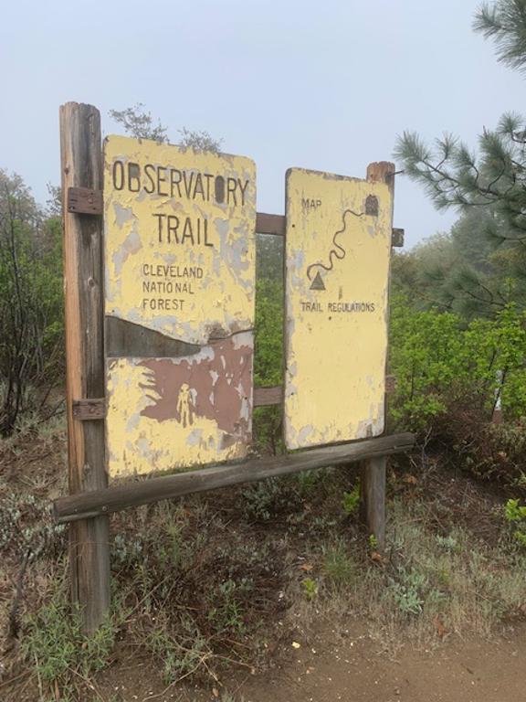
Palomar Mountain Observatory Trail

Cappie’s Scoop: Into the forest I go! This trail had rocks to climb, creeks to cross, acorns to chew and huge scary pine cones to ignore. It’s a fun trail with lots of trees and shade. Can’t wait to go back again! Don’t hesitate to add YOUR scoop in the comments below!
Tips: The mileage 4.6 miles RT ends at the Palomar Observatory (the largest in the world from 1948 to 1976) but if the gate is closed at the road, the mileage is 4.2 miles RT. At the time of this recent post, the trail has some downed trees blocking the trail that you will need to maneuver around. This area had a tough winter with the amount of snow and rain. Once it starts warming up, I can only imagine the views will be better with the trees getting their leaves back.
Directions: Coordinates take you to the parking lot. The trail is a bit tricky to find since it’s not marked. It starts from the parking lot next to the fee area sign and The Laguna Mountains Skipper information sign. Walk through the wooden fence and hang a left to pick up the trail. The trail on the right will take you to the amphitheater.
| Mileage (round trip) | 4.6 |
| Difficulty | Moderate |
| Gain (in feet) | 767 |
| Trailhead | 33.34306, -116.87751 |
| Hike Time (in hours) | 2-3 |
| Exposure | Mostly Shady |
| Scenery | Mountain Views, Creek, Forest, Wildflowers |
| Facilities | Toilets in the parking lot. |
| Fees/Permits | California Adventure Pass or Interagency Annual Pass/America the Beautiful Pass (National Parks Pass). No fee or pass needed if camping at the Observatory Campground. |
| More Info | https://www.fs.usda.gov/recarea/cleveland/recarea/?recid=47562; https://hikingguy.com/hiking-trails/hiking-san-diego/palomar-mountain-observatory-trail |
| Last Hiked | 7/23/2016, 5/5/2023 |