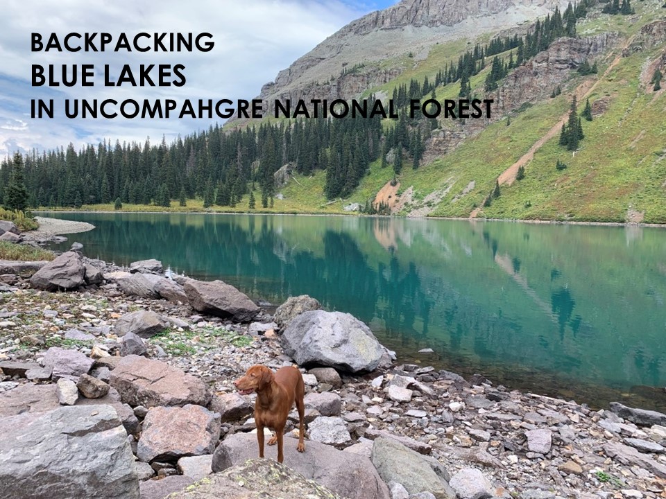
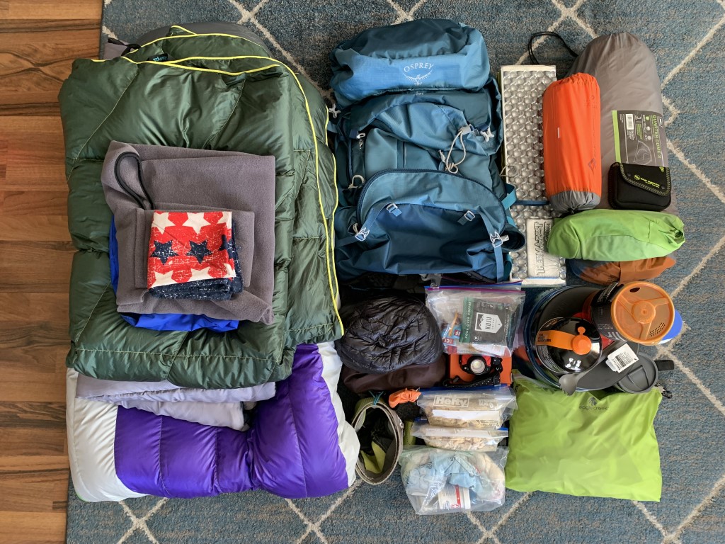
Blue Lakes Backpack
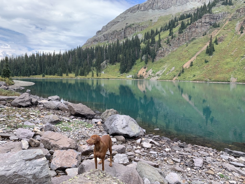
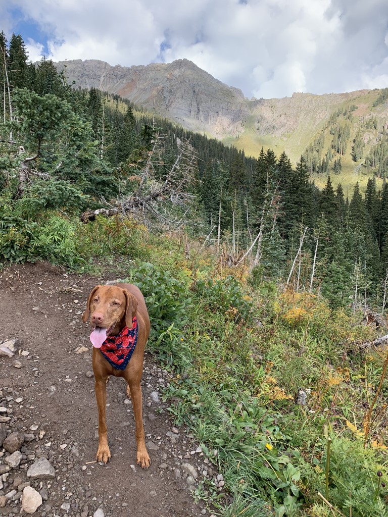
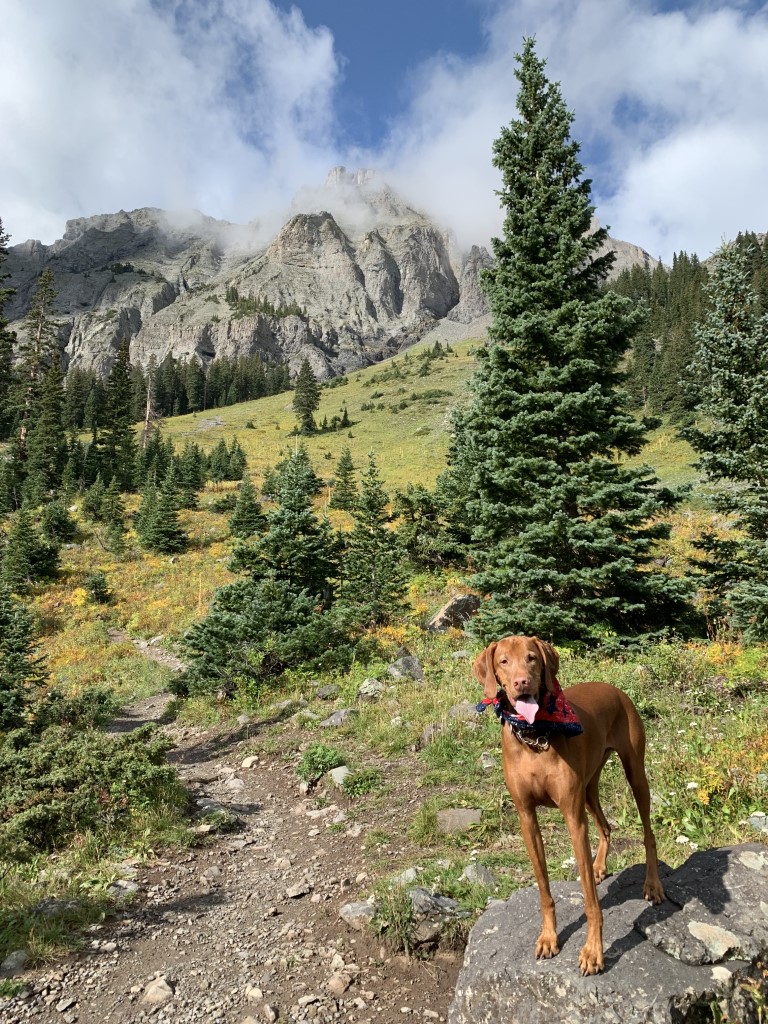
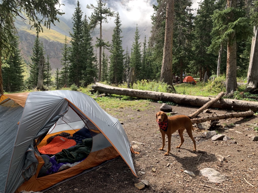
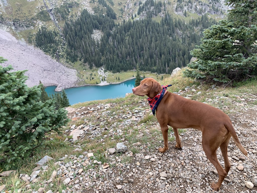
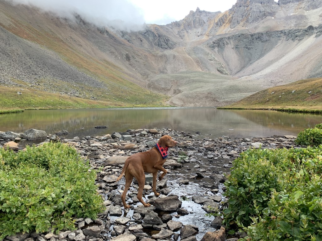
Cappie’s Scoop: The marmots were teasing me on this trail! I made it to our campsite and there was a nice big lake there! But then when I was hiking around the lake, I heard them. My ears opened up and I started looking, where are they. They were chirping at me with a very loud sound. Every time I thought I saw them, they ducked behind a rock. Those sneaky critters. After we setup our tent, Mom and I hiked up a trail to see the lake from up high. Mom was looking at the lake and I was searching for those pesky marmots. I never found them but I’ll be back! Don’t hesitate to add YOUR scoop in the comments below!
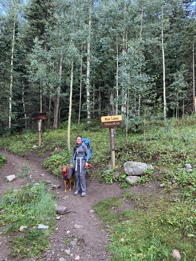
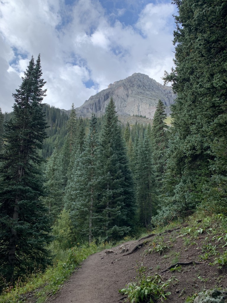
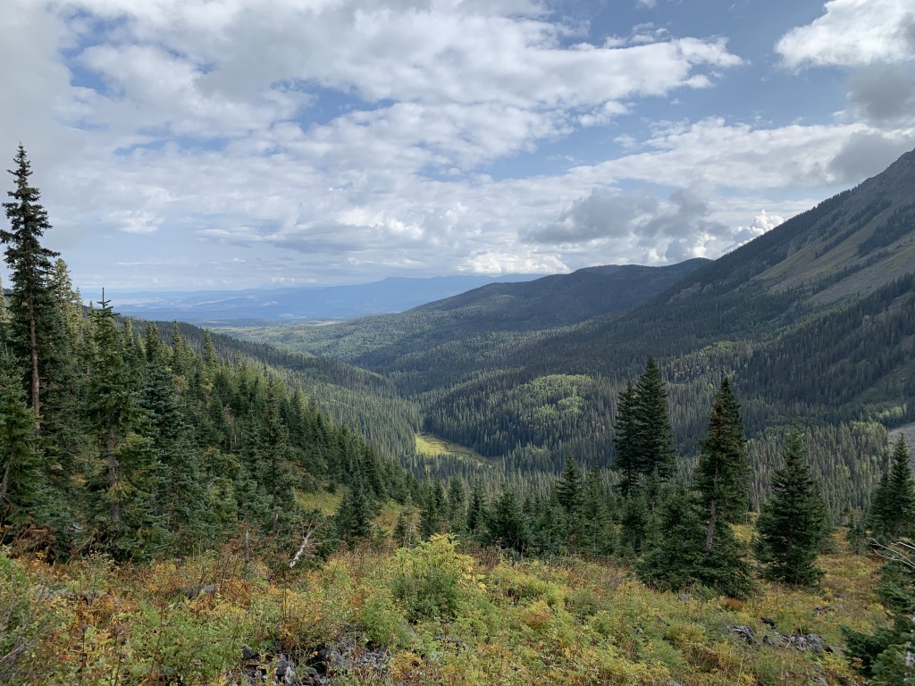
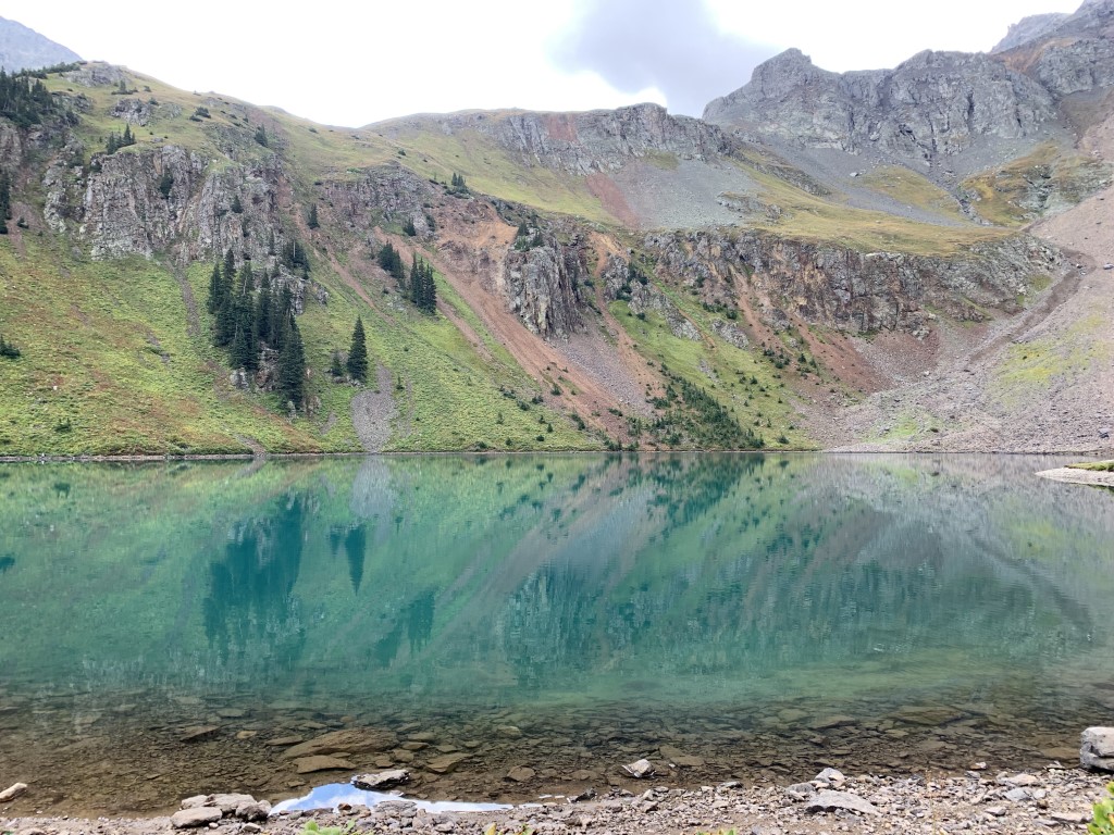
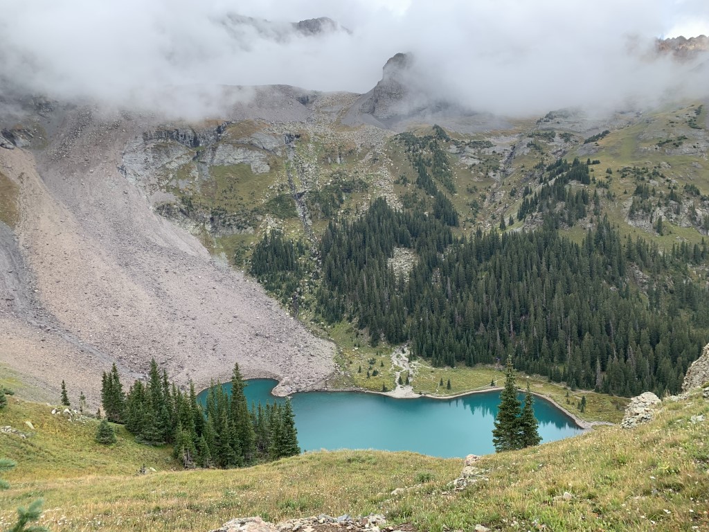
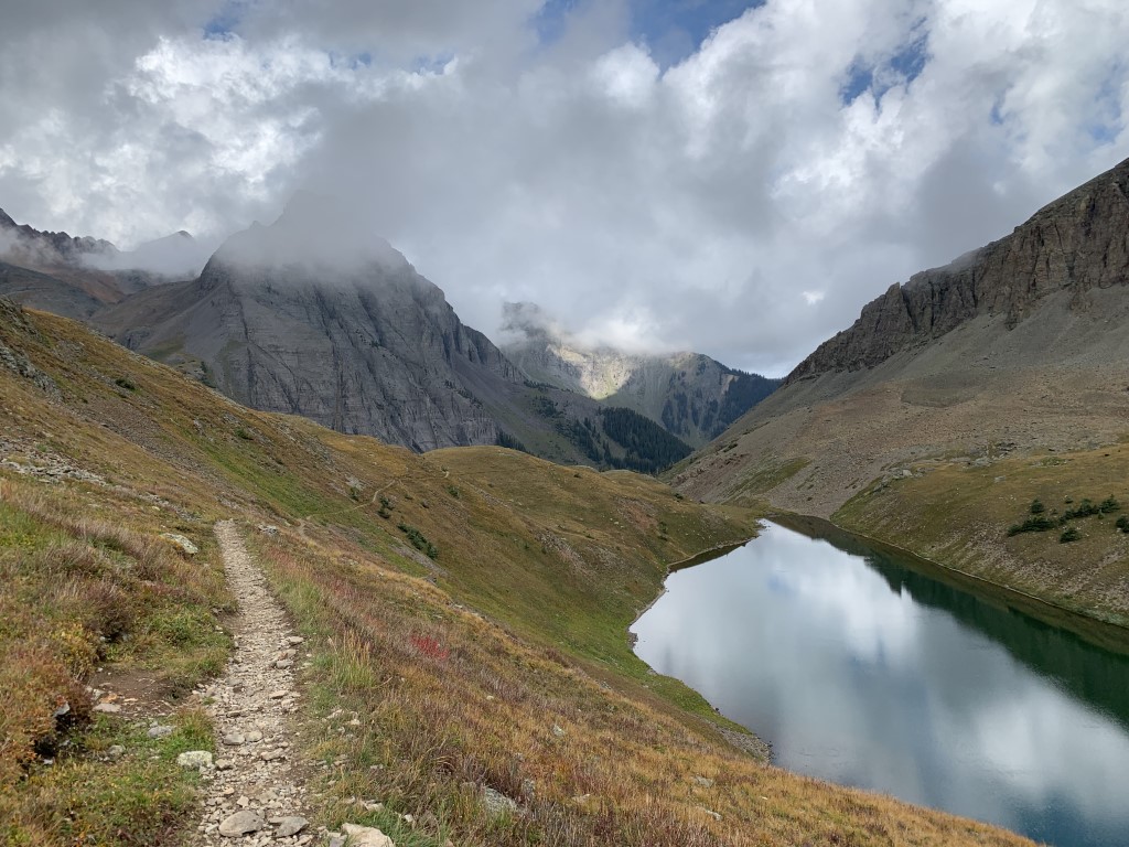
Tips: There are two trailheads, East Dallas Trailhead (closest town is Ridgway) and Yankee Boy Basin Trailhead near Telluride. We started at East Dallas. There are three lakes – Lower, Middle and Upper Blue Lakes. If you continue past Upper Blue Lake, you can go over the pass and continue on to Mount Sneffels, a challenging 14er at 14,158 ft. It’s about 4.3 more miles (one-way) and a very steep climb. We hiked in and setup camp at Lower Blue Lake. Lots of spots to pick from and near a flowing creek for filtering water. Then we continued hiking up to Middle and Upper Blue Lakes. The Lower Lake is by far the most beautiful alpine lake we’ve seen and it looks great from up above! Be sure to keep your eye on the weather because this area is known for afternoon rain which we got. Luckily we had made it to Upper Blue Lake and back before hunkering down in our tent for a couple hours. We took it as a sign to take a nap!
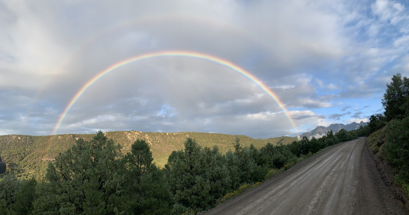
Directions: From the town of Ridgway, head west and take CO-62 for 4.3 miles. Then turn left onto Co Rd 7 and drive 8.9 miles on a bumpy dirt road to the trailhead parking lot. This is a very popular hike so we arrived the day before and found a turnout on Co Rd 7 and slept in the car. It had just rained and we caught a beautiful rainbow while driving on that road! Then we got up early and had a short drive to the trailhead.
Planning a Backpack – April 2021 Newsletter Special Issue
| Mileage (round trip) | 8.7 |
| Difficulty | Strenuous |
| Gain (in feet) | 2509 |
| Trailhead | 38.035273, -107.807090 |
| Time | 1 night |
| Exposure | Mostly Shady |
| Scenery | Mountain Views, Forest, Alpine Lake Views, Creek, Wildlife |
| Facilities | Toilets at the trailhead. |
| Fees/Permits | None |
| More Info | https://ouraytrails.org/northwest-ouray/blue-lakes |
| Last Hiked | 9/3/2021-9/4/2021 |