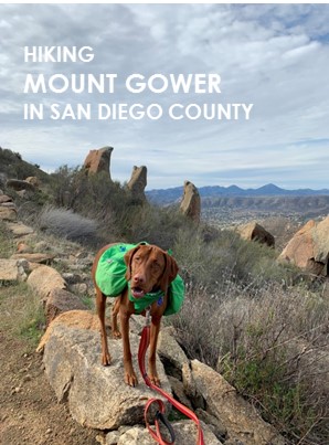
Mt. Gower Open Space Preserve
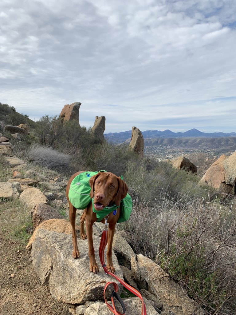
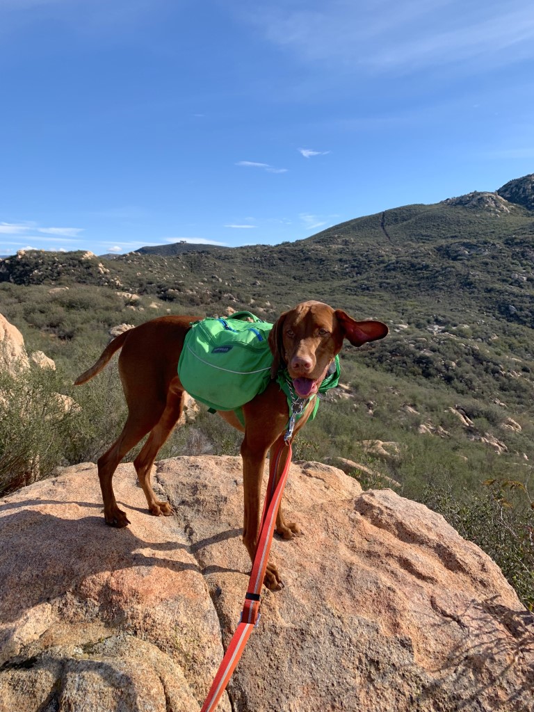
Cappie’s Scoop: Ready for a great leg workout, this is it! My paws are spent after this hike but it’s also one of my favorites. It’s like a roller coaster, up and down both ways but there are some cool rocks to climb. One set of rocks looks like fangs so I asked mom to take my picture with it. Then right after that, we take a left turn and head straight up the side of the mountain to get to a flat viewpoint which has great views. Mom says it’s not the actual summit of Mount Gower but it’s a perfect spot for a picnic with lots of treats. We hang out for a bit and then make our way back climbing up and rolling down the mountain. Don’t hesitate to add YOUR scoop in the comments below!
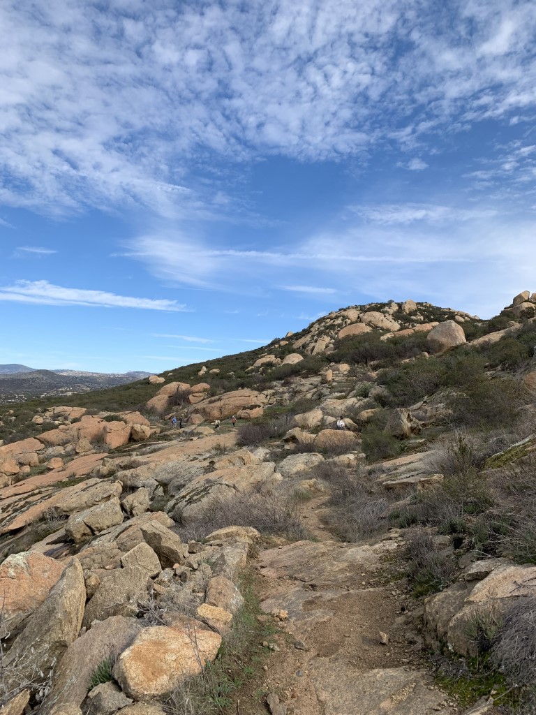
Tips: This hike is like a roller coaster and is up and down both ways. Good training if you ever want to hike El Cajon Mountain too. Keep your eyes open for some unusual rock formations at the upper elevations. There is one set of boulders that look like fangs and another called Teepee Rock formed by two separate rocks propped up against each other.
Directions: From I-8 E, take exit CA-67 N. Keep right and follow signs for Mapleview St. Continue onto Mapleview St and after 0.3 mile, turn left onto Ashwood St. Continue onto Wildcat Canyon Rd and in 12.2 miles, turn right onto San Vicente Rd. Then turn left onto Gunn Stage Rd. This road will essentially dead-end at the trailhead. You will encounter a dirt parking lot with some cars but continue on the road to the staging area where there are restrooms.
| Mileage (round trip) | 8.2 |
| Difficulty | Strenuous |
| Gain (in feet) | 1700 |
| Trailhead | 33.026804, -116.792451 |
| Hike Time (in hours) | 4-5 |
| Exposure | Sunny |
| Scenery | Mountain Views, Boulders, Rock Formations |
| Facilities | Toilets and water at staging area. |
| Fees/Permits | None |
| More Info | https://modernhiker.com/hike/hike-mount-gower |
| Last Hiked | 1/13/2019, 3/21/2020 |