Oak Grove Trail to High Point Lookout
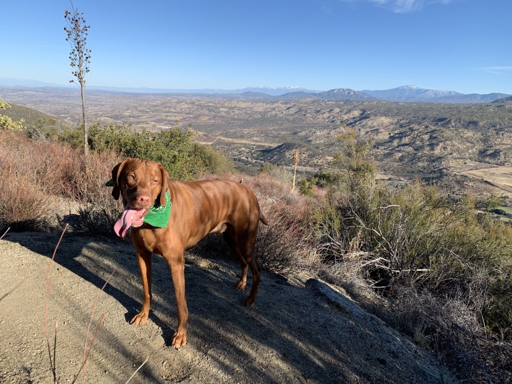
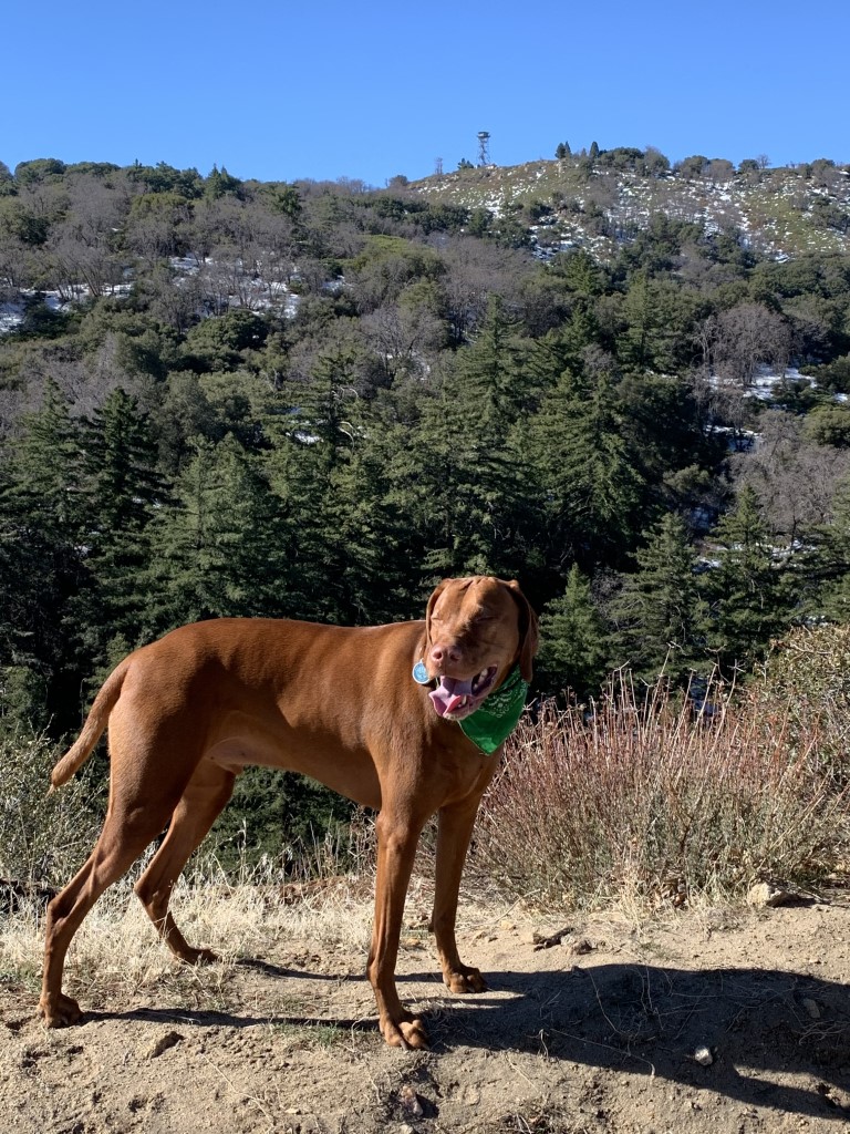
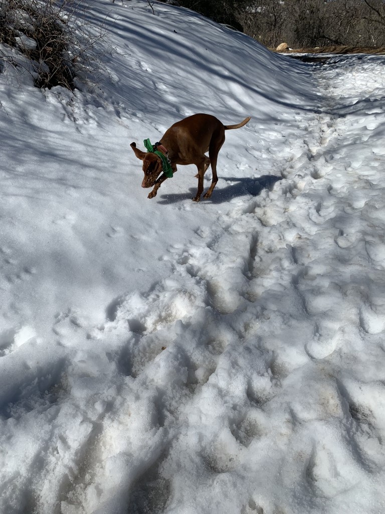
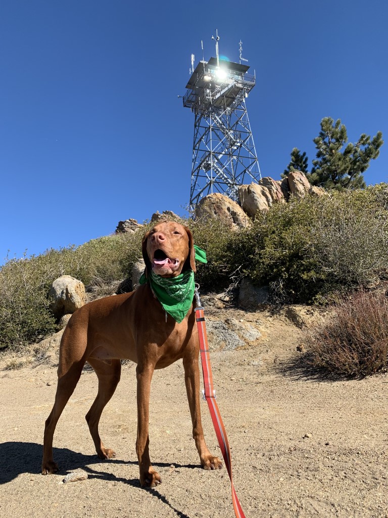
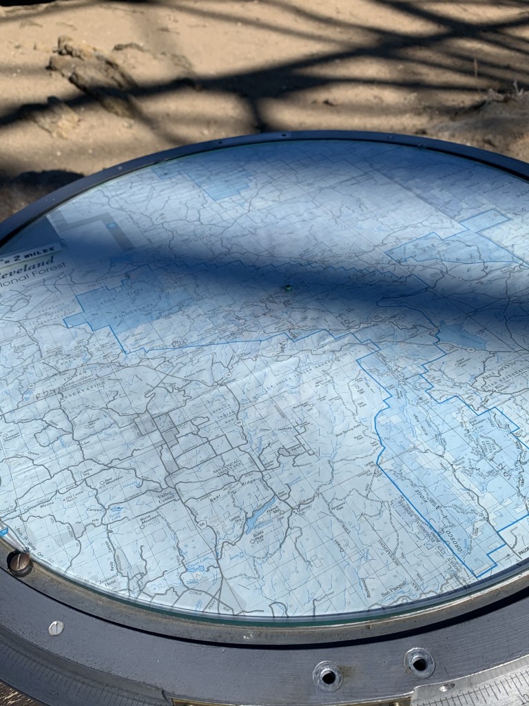
Cappie’s Scoop: Mom and I have been waiting a long time to do this hike! It’s always been too hot to go and it’s really looooong. We finally made it and there was SNOW at the top! Usually the snow melts quickly but I was so happy to see it and play in it for a bit. Of course it was another lookout tower (mom loves those) and I couldn’t get inside. But the Tower Lead Leif was there and he showed me all the cool tools on the picnic table in front of the station. I was very lucky because he was packing up for the season and had some things already in his car that he pulled out for me to see! It was a fun day and we had the trail practically all to ourselves. Don’t hesitate to add YOUR scoop in the comments below!
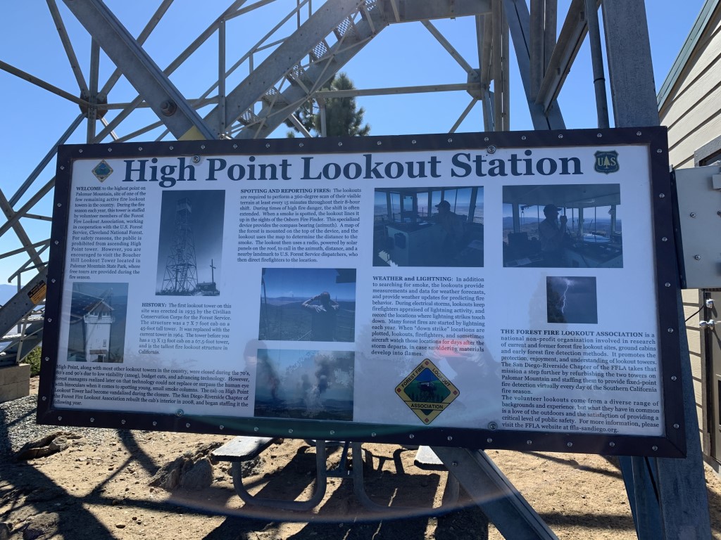
Tips: Start early, this is a very long hike and the parking lot can fill up fast. The first mile or so is a bit steep but once you hit the fire road, the climb becomes gradual and levels out from time to time. When we last visited, there was snow at the top so we carried our microspikes but luckily didn’t have to use them. There are some nice stretches of shade while the sun is still rising. The lookout station is one of the few remaining active fire lookout towers in the country. We met the Tower Lead Leif as he was closing it for the season and didn’t expect to open it again until May 1st. He showed us the Osborne Fire Finder (looks like a big compass) and other cool instruments to measure wind, air temperature and ground moisture (fuel stick). He mentioned that they usually close the tower at the end of Nov 2020 (at time of writing) but it was very dry so they kept it open longer. You may want to have a map handy as there are a few junctions on the fire road. At the first gate, pass through and stay left. Around 5.5 miles, we stayed right at the fork but we saw there was a trail leading to the tower to the left but we didn’t explore that route. Lastly there was another fork at about 6.3 miles, stay left and pass through the white gate.
Directions: From I-15 North, take the CA-79 S/Temecula Parkway exit. Turn right onto Temecula Parkway/79-s and continue for approximately 24 miles to the Oak Grove Fire Station. Turn right into the Oak Grove Trailhead parking lot (it’s marked with a sign) before you pass the fire station. The trailhead parking is across the street from the Oak Grove Campground. There are very few parking spots.
High Point Tower Weather Station
| Mileage (round trip) | 13.5 |
| Difficulty | Strenuous |
| Gain (in feet) | 3600 |
| Trailhead | 33.386475, -116.791996 |
| Hike Time (in hours) | 6-7 |
| Exposure | Mostly Sunny |
| Scenery | Mountain Views, Forest |
| Facilities | None |
| Fees/Permits | California Adventure Pass or Interagency Annual Pass/America the Beautiful Pass (National Parks Pass). |
| More Info | https://hikingguy.com/hiking-trails/hiking-san-diego/oak-grove-trail-to-high-point-hike; https://socalhiker.net/hiking-to-high-point-on-palomar-mountain-in-the-cleveland-national-forest; http://hikingsdcounty.com/oak-grove-high-point-palomar |
| Last Hiked | 2/7/2021 |