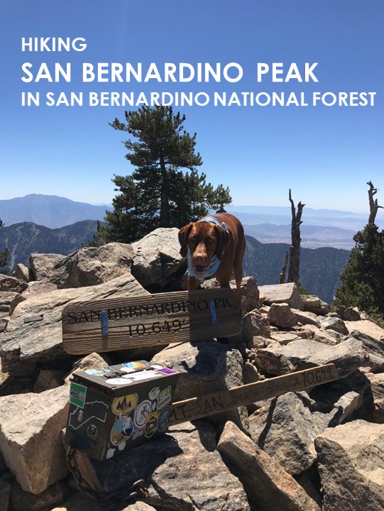
San Bernardino Peak
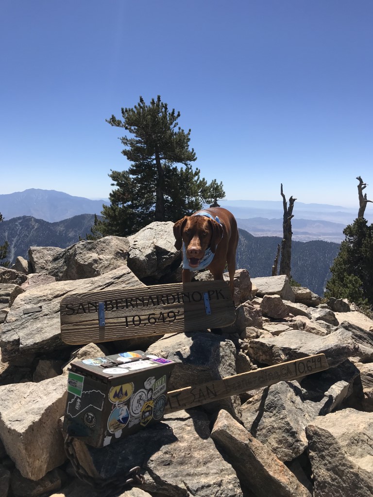
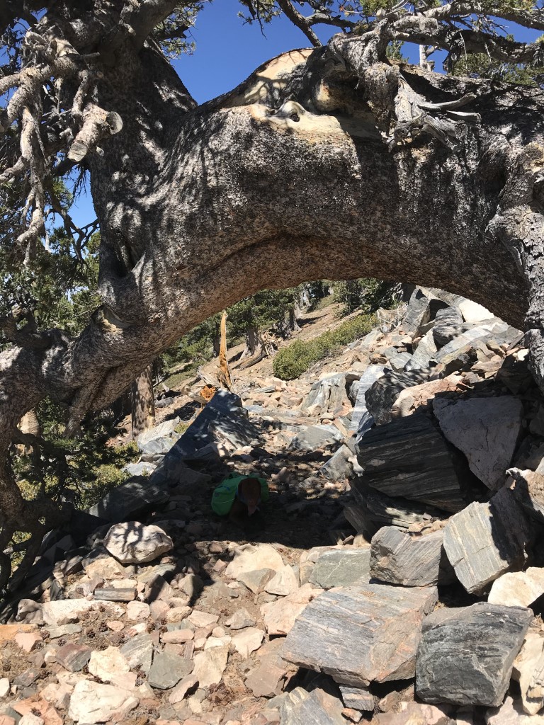
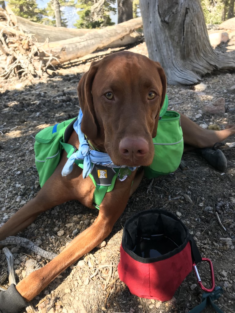
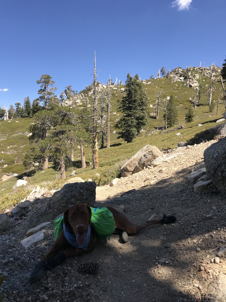
Cappie’s Scoop: This is one of the longest hikes I’ve done in a day! It was so long, the next time we did it, we backpacked. Check out our other post on San Bernardino Peak Backpack! Mom and I came on a Friday and we only saw 4 other hoomans and 1 dog the entire time. It was awesome! We reached the 10,649 ft peak and found 2 hoomans and a dog to play with. After we hung out a bit, we headed out to begin the long hike back to the car. Along the way, we passed a big pile of poop. Mom said it was bear poop but we never saw any bears. Good, good, good, whew. Don’t hesitate to add YOUR scoop in the comments below!
Tips: None
Directions: Once you’re on 38 E/Mill Creek Road, it can get tricky. You’re going to make a right at Mountain Home Creek Rd and then a left on Frontage Rd/Manzanita Ave. Once you pass the Angelus Oaks fire station on your right side, you will probably see a brown sign that says “TRAILHEAD, go to 3rd house, turn right, stay to right on dirt road to parking.” You will drive about 1/4 mile along a bumpy dirt road. Passenger cars can make it, just go slow.
Mountain Forecast (near San Bernardino Peak)
| Mileage (round trip) | 16.5 |
| Difficulty | Strenuous |
| Gain (in feet) | 4702 |
| Trailhead | 34.146122, -116.978399 |
| Hike Time (in hours) | 9 |
| Exposure | Sunny and Shady |
| Scenery | Mountain Views, Trees, Creek, Forest |
| Facilities | None |
| Fees/Permits | California Adventure Pass or Interagency Annual Pass/America the Beautiful Pass (National Parks Pass). Beginning 9/1/2020, a free day-use permit for entering San Gorgonio Wilderness areas within the San Bernardino National Forest is required and there are quotas, information at http://sgwa.org/wilderness-permits. |
| More Info | https://sixpackofpeaks.com/socal; https://socalhiker.net/a-six-pack-of-peaks |
| Last Hiked | 9/7/2018 |