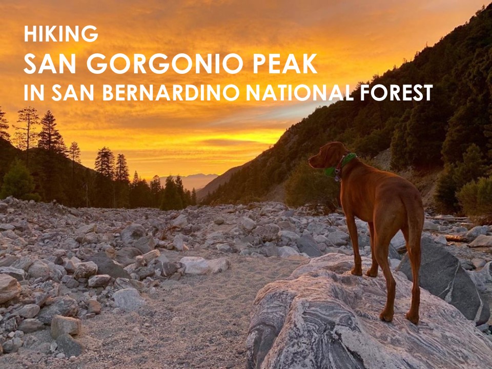
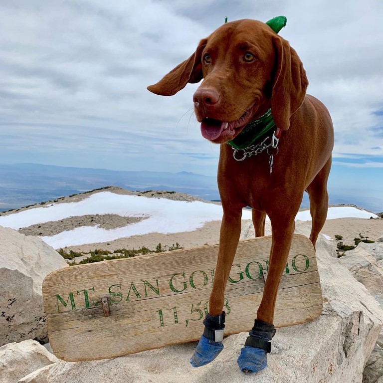
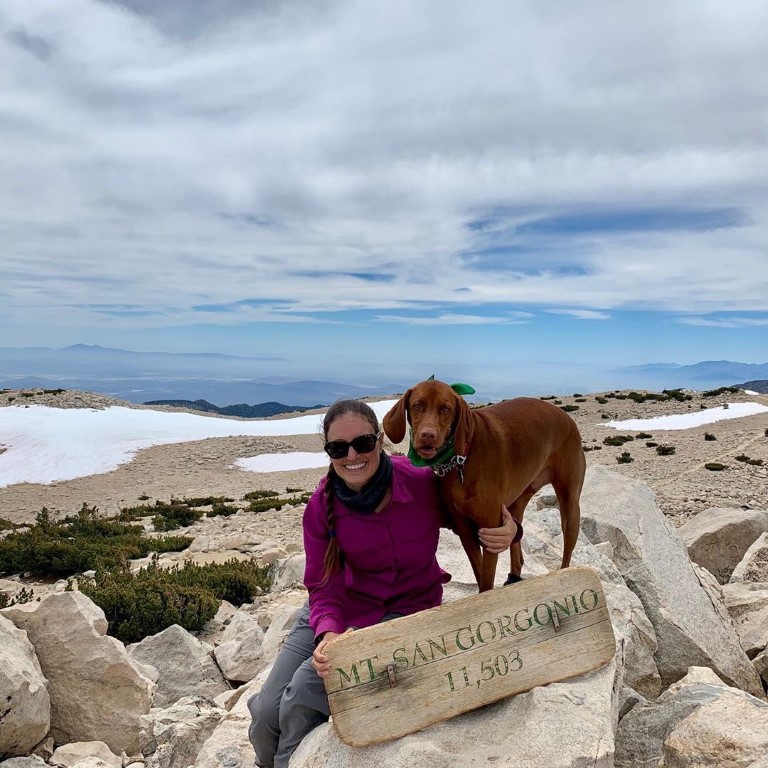
San Gorgonio Peak

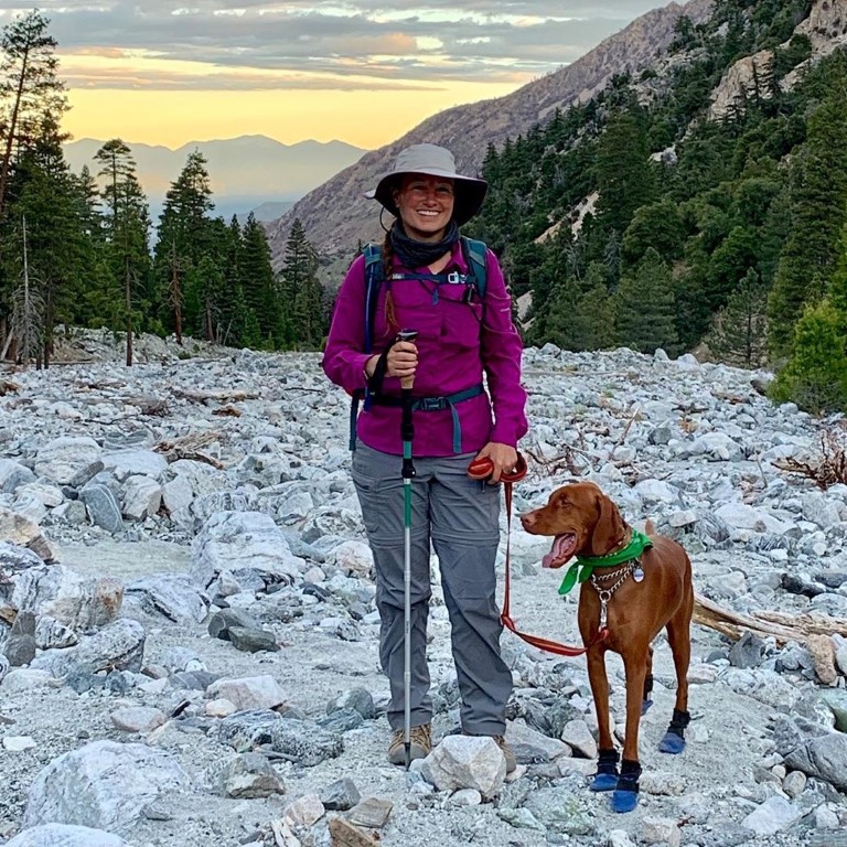
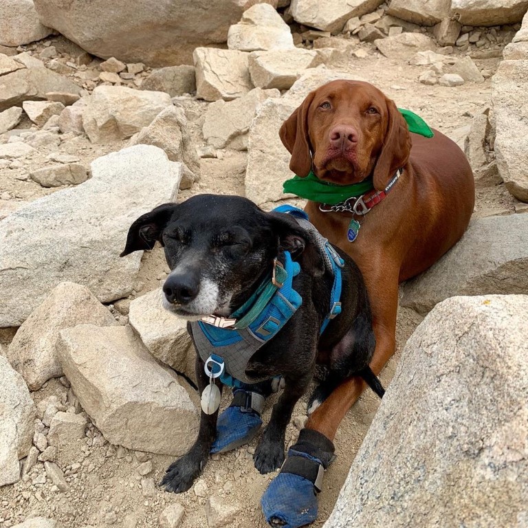
Cappie’s Scoop: This is one of the highest mountain’s I’ve climbed! I was so proud of myself that I made it to the top! It’s a long hike if you want to do it in one day. Mom and I started very early. On the way up, there are a couple spots to camp so if you wanted to do this in 2 days, you can backpack it! When we go back, we’ll backpack it and camp at High Creek Campground (9,200 ft). There is a nice cold stream running next to the camp. It’s a perfect spot to fill up on water and soak your paws. As we got closer to the top, we also found SNOW! I love running through the snow. It’s so much fun! But mom said we should keep moving to get to the top so we could take a break up there. I found my good furiend Mister Bo and we cuddled up for a rest before making our way back down. Don’t hesitate to add YOUR scoop in the comments below!
Tips: Start early, this is a very long hike and the parking lot can fill up fast. This trail reopened on 4/24/21. It was closed due to the 2020 El Dorado fire. The burn area on the trail is located above High Creek Camp and you hike through it on the trail for about 0.15 mile. Option to backpack this trail too! There are three camps: Vivian Creek (the creek is your water source but this camp is at the start of the hike), Halfway (not halfway, unsure about water source), and High Creek at ~9,200 ft (the creek is your water source and this is your best option, it’s ~5.5 miles into the hike).
Directions: Coordinates 34.081899, -116.891007 bring you to the upper parking lot. Some people also use address 41900 Falls Rd Forest Falls, CA 92339 but my GPS didn’t like that one. Note, if the upper parking lot is full (Vivian Creek trailhead), you can park in the lower parking lot (Big Falls trailhead) as well (34.082025, -116.893424). Once you’re on 38 east/Mill Creek Road, it will turn into Valley of the Falls Drive. Stay on this road for about 4-5 miles to its end past the Falls Picnic Area for the upper parking lot.
| Mileage (round trip) | 19 |
| Difficulty | Strenuous |
| Gain (in feet) | 5840 |
| Trailhead | 34.081899, -116.891007 |
| Hike Time (in hours) | 10-12 |
| Exposure | Sunny and Shady |
| Scenery | Mountain Views, Forest, Creek |
| Facilities | Vault toilets at trailhead; water typically available at High Creek camp (bring a filter, water purifier tabs, or anything else you prefer). |
| Fees/Permits | California Adventure Pass or Interagency Annual Pass/America the Beautiful Pass (National Parks Pass). Beginning 9/1/2020, a free day-use permit for entering San Gorgonio Wilderness areas within the San Bernardino National Forest is required and there are quotas, information at http://sgwa.org/wilderness-permits. |
| More Info | https://socalhiker.net/hiking-san-gorgonio-via-vivian-creek |
| Last Hiked | 6/29/2019, 5/30/2021, 5/21/2022 |