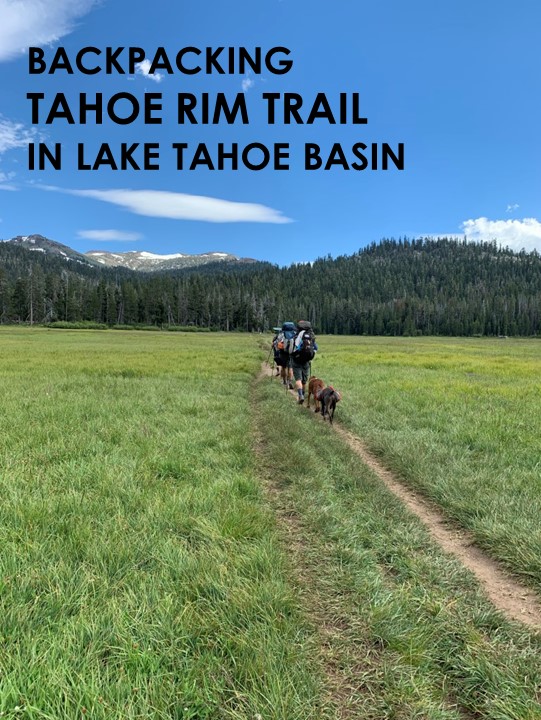
Tahoe Rim Trail
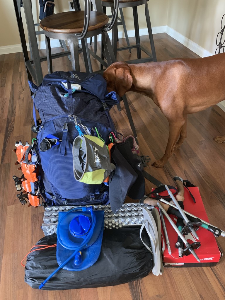
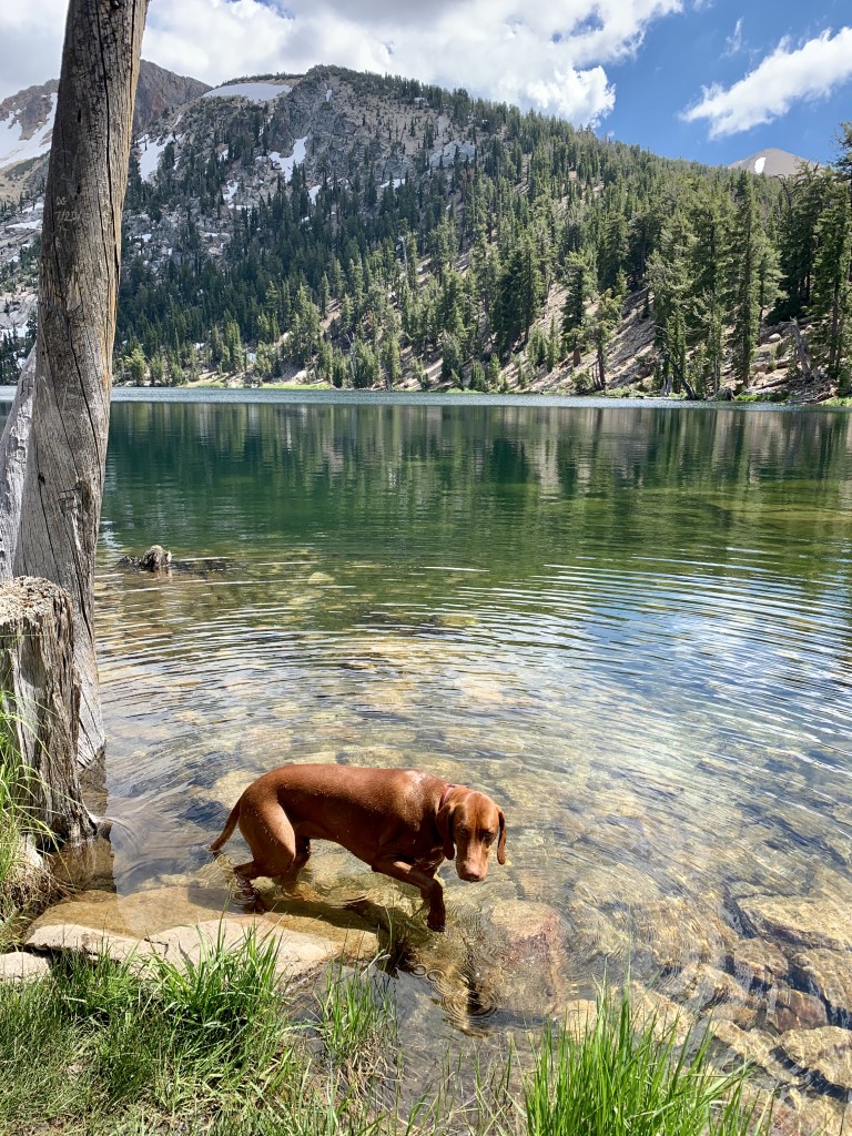
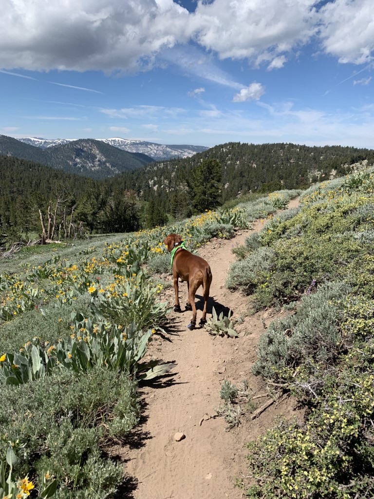
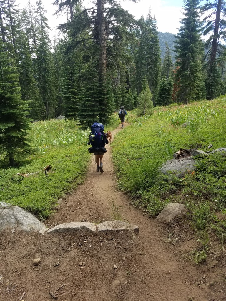
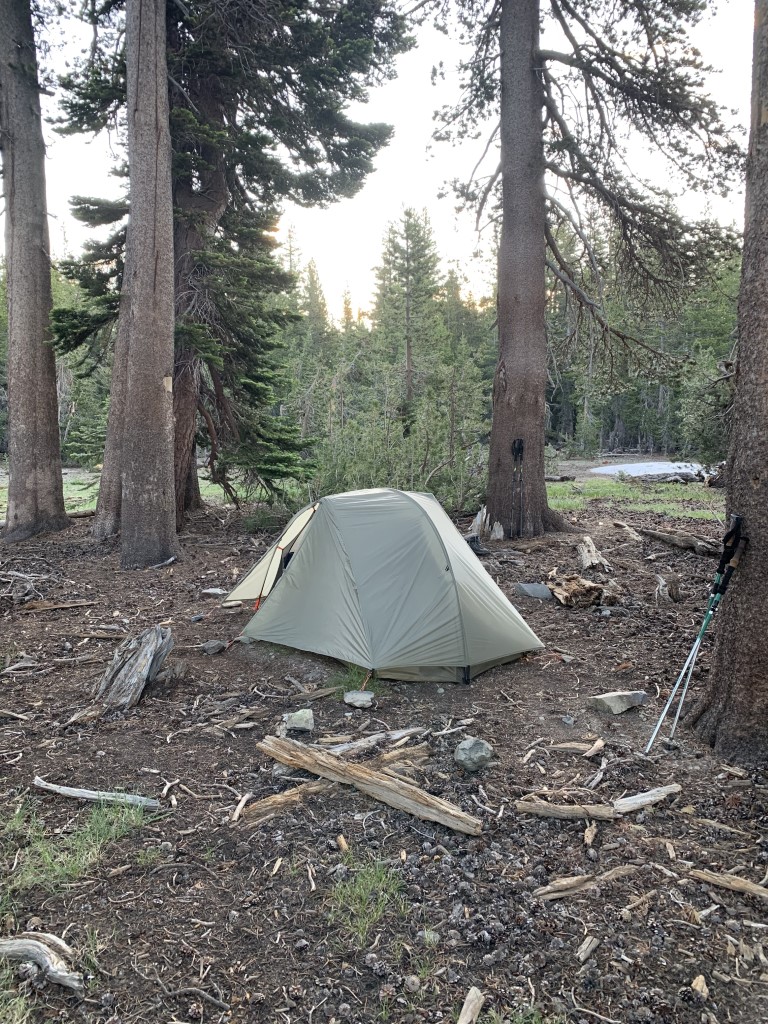
Cappie’s Scoop: To read about our day-to-day adventures on the trail, check out our trail journal under “more info” below. I was having a great time on the trail, hopping over rocks, playing in some snow, swimming in the lakes and sleeping in a tent! But after 3 days, we reached Tamarack Lake and realized it was going to be too dangerous for me to get over Dick’s Pass so mom headed back to Echo Lakes Chalet and called for the shuttle to take us back to our car. We spent a couple days in Tahoe City figuring out what to do next and mom decided to have me stay with friends which was OK because I had completed 44 miles in 3 days! Mom jumped back on the trail from Tahoe City and completed the northern part of the trail and finished at Kingsbury South where we originally started. When mom picked me up, we celebrated her total trip (minus the section she missed) of 130 miles out of the 171 miles planned. In the summer of 2021, mom and I are going back to complete Echo Lakes to Tahoe City! Don’t hesitate to add YOUR scoop in the comments below!
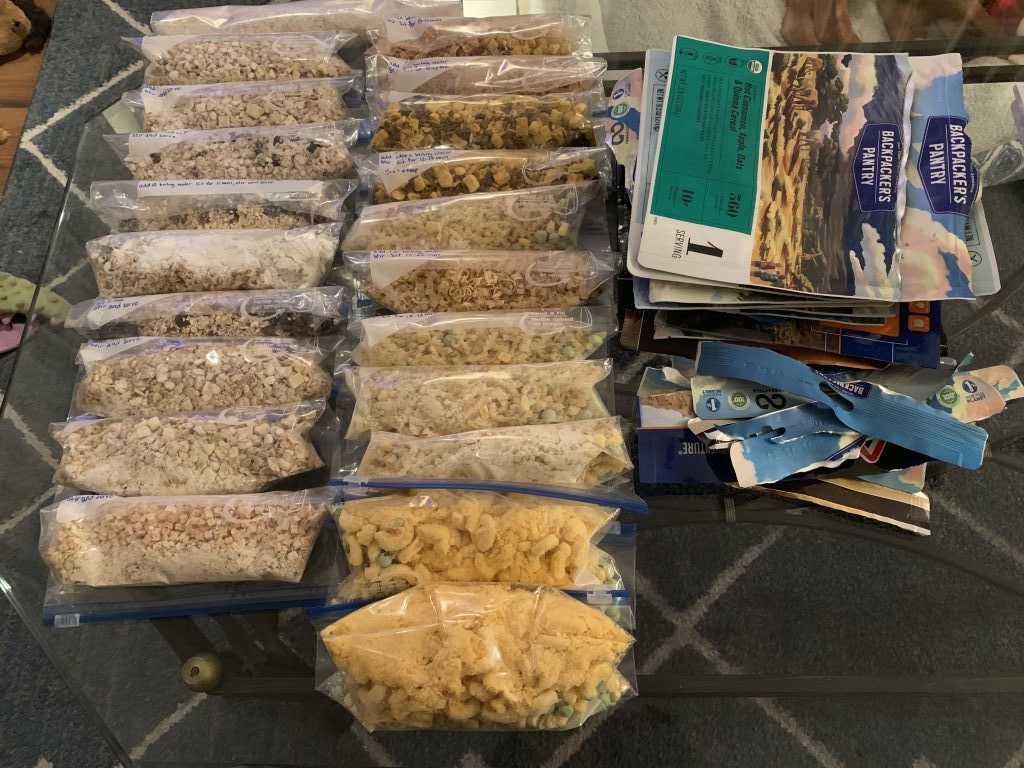
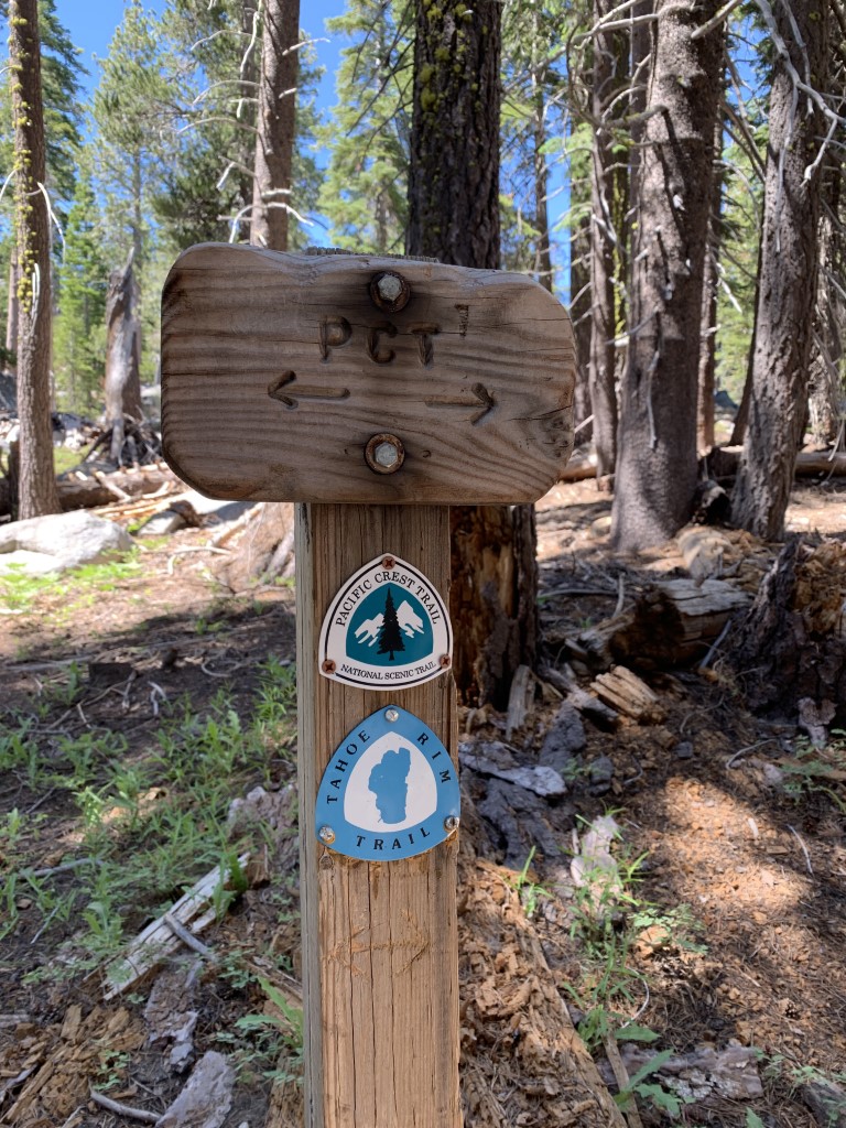
Tips: To navigate the trail, find water sources and camping spots, we used the tahoerimtrail.org website, Erik the Black’s TRT Pocket Atlas and also downloaded the Guthook App and bought their TRT guide. We also borrowed a Garmin inReach so our friends could track us on the trail and it also had text messaging capabilities in case we needed help and/or had an emergency. Remember bear proofing of all smellables (food, hygiene products, etc.) is required on the Tahoe Rim Trail. The preferred and most successful method is to utilize a bear canister. We saw bears!
Completed Itinerary:
Day 1: Kingsbury South to Armstrong Pass, 15 miles
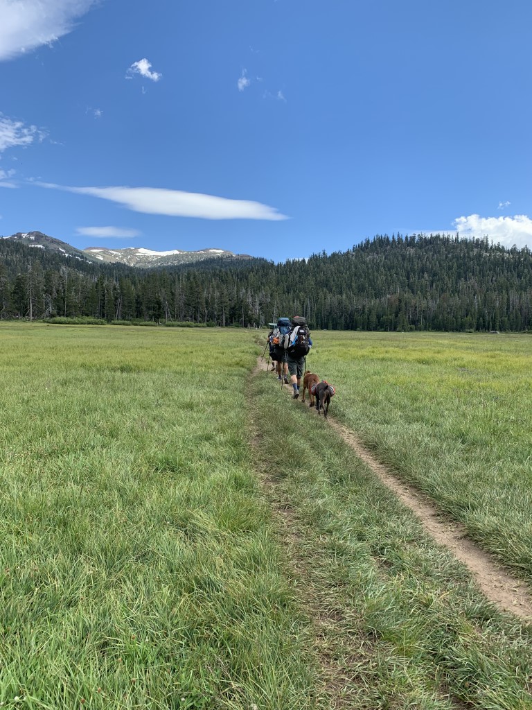
Day 2: Armstrong Pass to Round Lake, 13 miles (original destination Showers Lake)
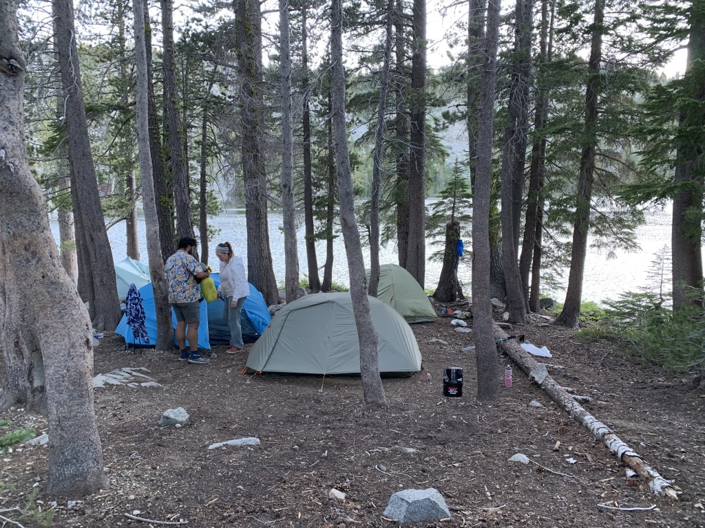
Day 3: Round Lake to Tamarack Lake, 16 miles (original destination Lake Aloha)
Day 4: Tamarack Lake back to Echo Lake Chalet to take Cappie off the trail due to snow/ice (original plan Lake Aloha to Phipps Creek, 14.6 miles)
Day 5: Rest Tahoe City (original plan Phipps Creek to North Fork Blackwoods Creek, 14.4 miles)
Day 6: Rest Tahoe City (original plan North Fork Blackwoods Creek to Tahoe City, 14.4 miles)
Day 7: Rest Tahoe City (original plan rest and resupply day in Tahoe City)
Day 8: Tahoe City to Watson Lake, 14 miles
Day 9: Watson Lake to a bit past Mount Baldy, 15 miles
Day 10: Mount Baldy to Mount Rose Campground, 13 miles
Day 11: Mount Rose Campground to Marlette Peak Campground, 15 miles
Day 12: Marlette Peak Campground to South Camp Peak, 15 miles
Day 13: South Camp Peak to Kingsbury South Trailhead, 14 miles
Other info: If you are stuck at a trailhead and need a ride, we used a shuttle service called wannaridetahoe.com and it’s for hikers and mountain bikers. Phone number is 775-790-6375 and as of 4/11/21 there are some COVID changes: they are only taking private group shuttles, reserve 24 hrs in advance, masks, # of passengers limited per trip. If you get to Echo Lakes and want to cut a couple miles off your hike, take the water taxi! It can be arranged either side of Echo Lakes (https://www.echochalet.net/boat-taxi-services), cost $15/person, has a three person min, hrs 8-530pm and is dog friendly!
Directions: There are various start/finish points depending on whether you’d like to thru-hike or section hike. For our trip, we actually had some unexpected challenges so here’s what we did. We parked our car in a large lot near the Kingsbury South trailhead. If you park here, vehicle owners must notify Heavenly Resorts security at 530-542-5187 with the following information: start and end dates, license plate number, vehicle type, and contact information. Leave a message with the above information if no one answers. Remember Heavenly Security is not responsible for your vehicle. We hiked clockwise and planned one resupply and one rest day at Tahoe City. We also did one water drop in the northeast (sometimes dry) part of trail at the trailhead near Spooner Lake.
Planning a Backpack – April 2021 Newsletter Special Issue
| Mileage (round trip) | 44-130 |
| Difficulty | Strenuous |
| Gain (in feet) | Various |
| Trailhead | Kingsbury South Parking lot: 38.962463, -119.884614 Started at trailhead next to Kingsbury South: 38.960514, -119.886159 |
| Time | 12 nights |
| Exposure | Sunny and Shady |
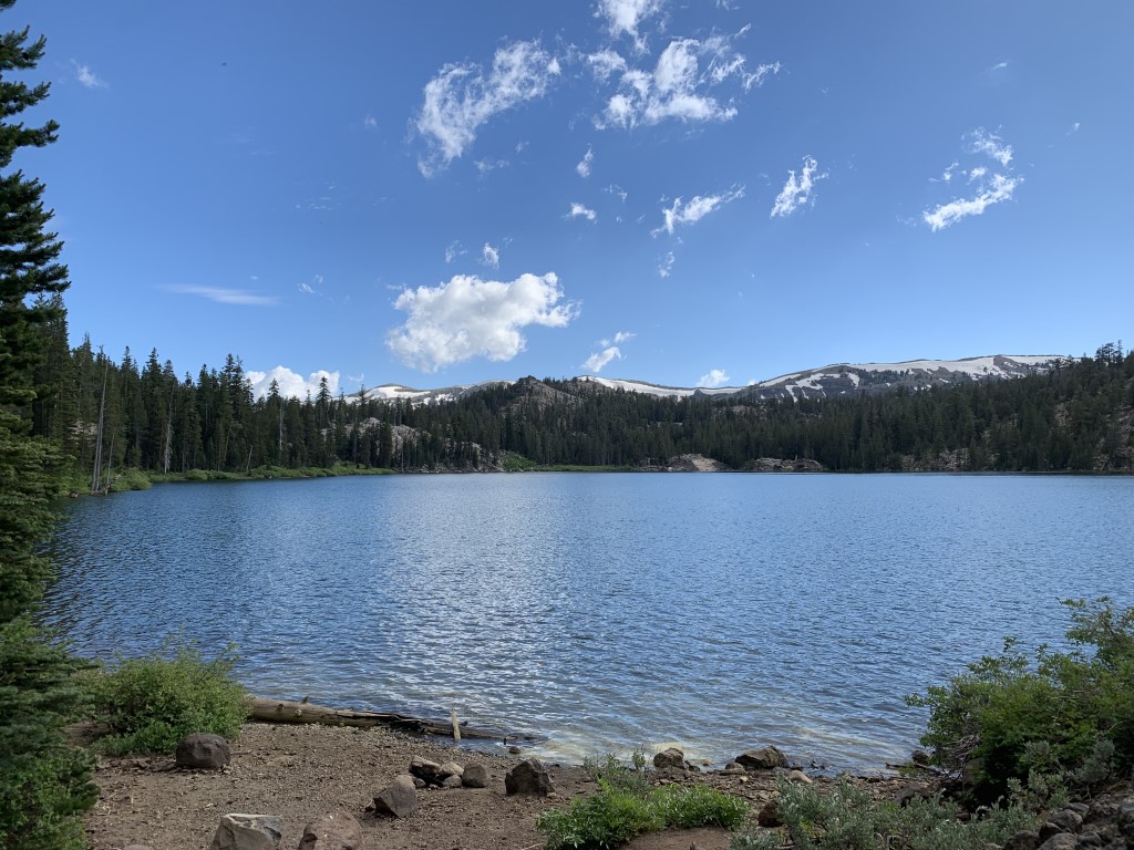
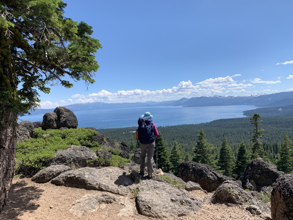
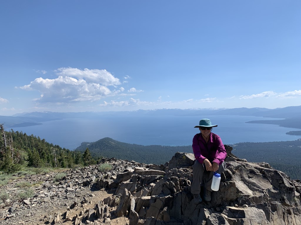
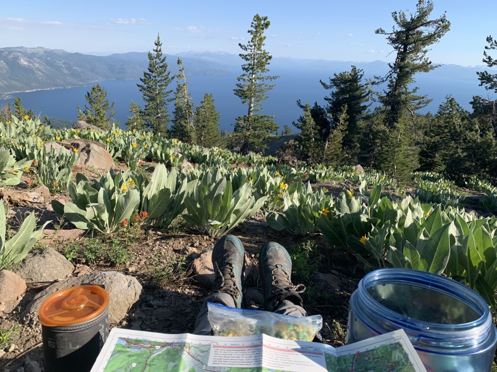
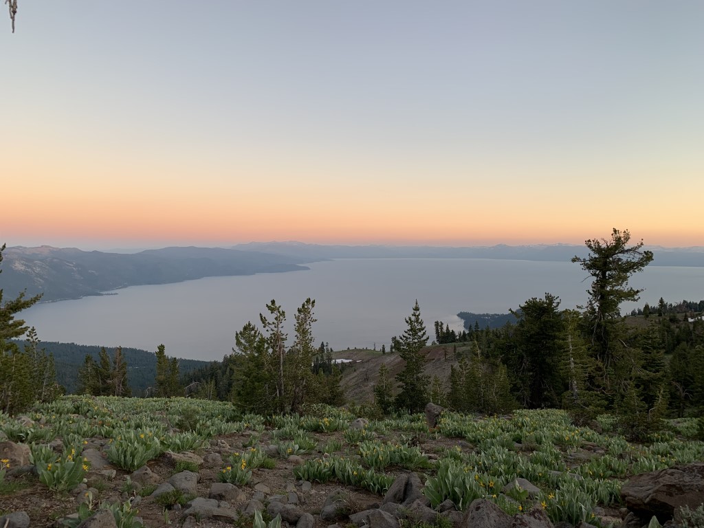
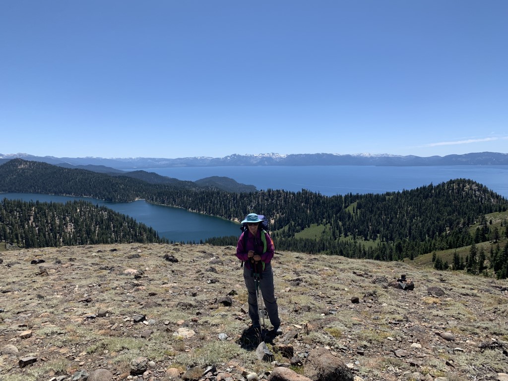
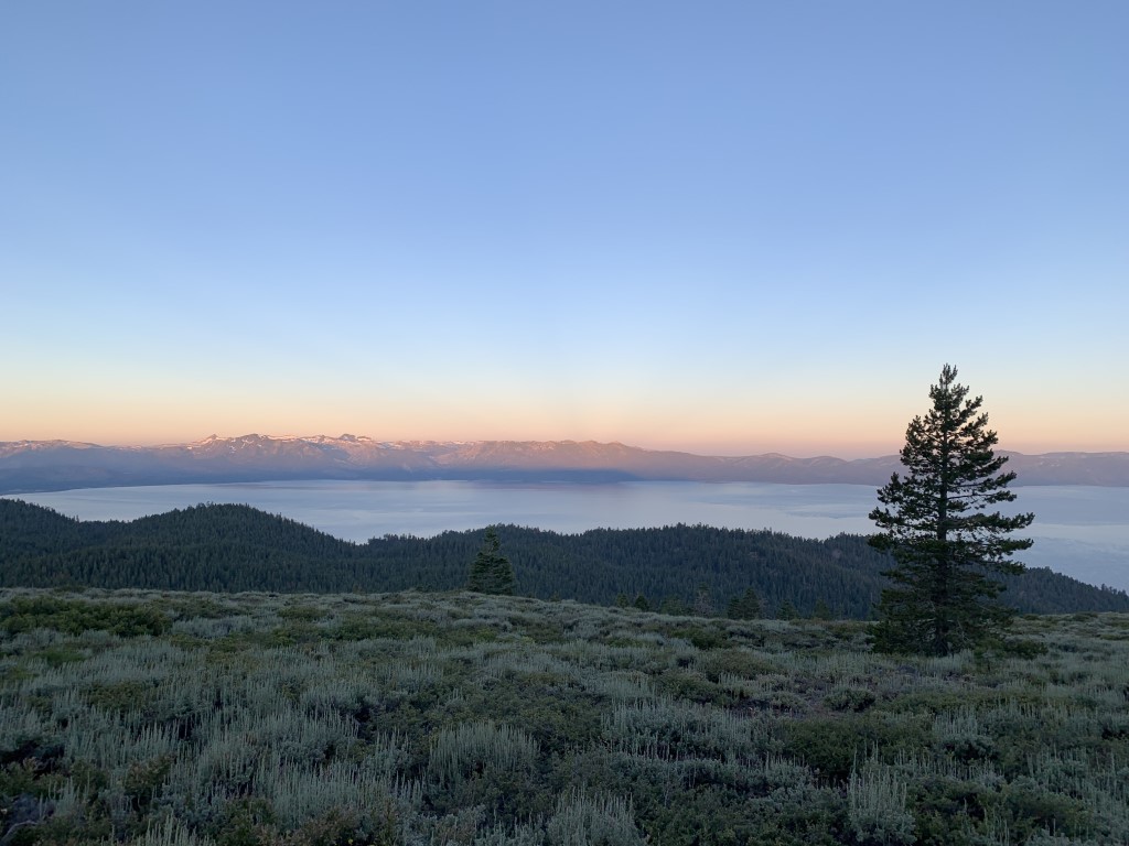
| Scenery | Mountain Views, Alpine Lake Views, Wildlife, Wildflowers, Forest, Creek |
| Facilities | Echo Lakes Chalet (bathroom, general store), Tahoe City (bathroom, water, lodging, restaurants), Mt. Rose Campground (toilets, water) |
| Fees/Permits | Overnight camping permit only needed for Desolation Wilderness area. You can bypass the quota if applying for a thru-hike permit by calling the Ranger Station. One member of your group will also need a free campfire permit. For more information on permits visit https://tahoerimtrail.org/regulations-permits. |
| More Info | https://tahoerimtrail.org; https://www.trailjournals.com/journal/entry/605636; https://blackwoodspress.com/tahoe-rim-trail-pocket-atlas |
| Last Hiked | 7/20/2019-8/1/2019 |